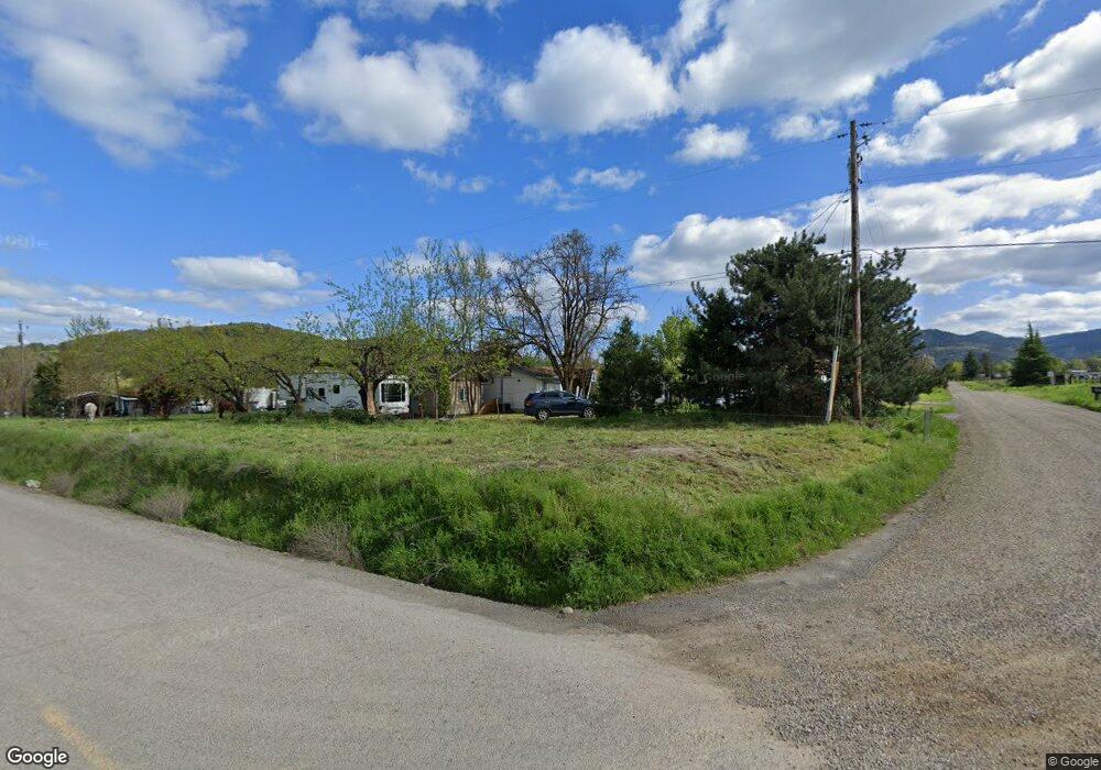
6600 Shady Brook Dr Central Point, OR 97502
Estimated Value: $383,000 - $466,000
3
Beds
1
Bath
1,296
Sq Ft
$320/Sq Ft
Est. Value
About This Home
This home is located at 6600 Shady Brook Dr, Central Point, OR 97502 and is currently estimated at $414,646, approximately $319 per square foot. 6600 Shady Brook Dr is a home located in Jackson County with nearby schools including Patrick Elementary School, Scenic Middle School, and Crater High School.
Ownership History
Date
Name
Owned For
Owner Type
Purchase Details
Closed on
Nov 28, 2007
Sold by
Martin Marie A
Bought by
Zimmermann Thomas D
Current Estimated Value
Home Financials for this Owner
Home Financials are based on the most recent Mortgage that was taken out on this home.
Original Mortgage
$215,000
Outstanding Balance
$136,508
Interest Rate
6.36%
Mortgage Type
Purchase Money Mortgage
Estimated Equity
$278,138
Create a Home Valuation Report for This Property
The Home Valuation Report is an in-depth analysis detailing your home's value as well as a comparison with similar homes in the area
Home Values in the Area
Average Home Value in this Area
Purchase History
| Date | Buyer | Sale Price | Title Company |
|---|---|---|---|
| Zimmermann Thomas D | $215,000 | Ticor Title |
Source: Public Records
Mortgage History
| Date | Status | Borrower | Loan Amount |
|---|---|---|---|
| Open | Zimmermann Thomas D | $215,000 |
Source: Public Records
Tax History Compared to Growth
Tax History
| Year | Tax Paid | Tax Assessment Tax Assessment Total Assessment is a certain percentage of the fair market value that is determined by local assessors to be the total taxable value of land and additions on the property. | Land | Improvement |
|---|---|---|---|---|
| 2025 | $2,440 | $198,040 | $92,270 | $105,770 |
| 2024 | $2,440 | $192,280 | $77,210 | $115,070 |
| 2023 | $2,359 | $180,750 | $84,140 | $96,610 |
| 2022 | $2,313 | $186,680 | $74,960 | $111,720 |
| 2021 | $2,249 | $181,250 | $72,770 | $108,480 |
| 2020 | $2,185 | $175,980 | $70,650 | $105,330 |
| 2019 | $2,137 | $165,890 | $66,600 | $99,290 |
| 2018 | $2,073 | $155,100 | $54,960 | $100,140 |
| 2017 | $1,982 | $155,100 | $54,960 | $100,140 |
| 2016 | $1,926 | $151,820 | $60,940 | $90,880 |
| 2015 | $1,772 | $138,070 | $48,510 | $89,560 |
| 2014 | $1,652 | $129,810 | $44,480 | $85,330 |
Source: Public Records
Map
Nearby Homes
- 4413 Merita Terrace
- 4223 Merita Terrace
- 8785 Blackwell Rd Unit North Side
- 8785 Blackwell Rd Unit South Side
- 8785 Blackwell Rd
- 6169 Tamarack Ln
- 6048 Tolo Rd
- 6251 Ventura Ln
- 4640 Scenic Ave
- 4970 Old Stage Rd
- 5153 Old Stage Rd
- 4533 Old Stage Rd
- 8184 Old Stage Rd
- 6060 Old Stage Rd
- 4459 Old Stage Rd
- 6901 Old Stage Rd Unit 11
- 7059 Old Stage Rd
- 4228 Old Stage Rd
- 413 Sand Pointe Dr
- 422 Castle Rock Dr
- 4435 Nellis Ave
- 6464 Shady Brook Dr
- 4405 Nellis Ave
- 4375 Nellis Ave
- 6400 Shady Brook Dr
- 6364 Shady Brook Dr
- 4401 Merita Terrace
- 4553 Nellis Ave
- 8643 Villa Ln
- 0 Frontage Rd Unit 102948425
- 6344 Shady Brook Dr
- 8775 Villa Ln
- 4495 Merita Terrace
- 6300 Shady Brook Dr
- 6341 Shady Brook Dr
- 8601 Blackwell Rd
- 4545 Merita Terrace
- 8757 Villa Ln
- 6277 Shady Brook Dr
- 4309 Merita Terrace