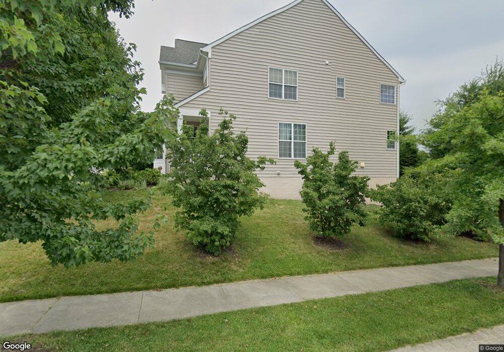
6601 Ashdale Rd Baltimore, MD 21209
Estimated Value: $787,229 - $921,000
Studio
3
Baths
3,396
Sq Ft
$251/Sq Ft
Est. Value
About This Home
This home is located at 6601 Ashdale Rd, Baltimore, MD 21209 and is currently estimated at $853,057, approximately $251 per square foot. 6601 Ashdale Rd is a home located in Baltimore County with nearby schools including Summit Park Elementary, Pikesville Middle School, and Pikesville High School.
Ownership History
Date
Name
Owned For
Owner Type
Purchase Details
Closed on
Mar 7, 2007
Sold by
Beazer Homes Corp
Bought by
Davis Newell Matthew and Davis Elizabeth Arlene
Current Estimated Value
Home Financials for this Owner
Home Financials are based on the most recent Mortgage that was taken out on this home.
Original Mortgage
$450,000
Outstanding Balance
$272,974
Interest Rate
6.3%
Mortgage Type
Purchase Money Mortgage
Estimated Equity
$580,083
Purchase Details
Closed on
Feb 23, 2007
Sold by
Beazer Homes Corp
Bought by
Davis Newell Matthew and Davis Elizabeth Arlene
Home Financials for this Owner
Home Financials are based on the most recent Mortgage that was taken out on this home.
Original Mortgage
$450,000
Outstanding Balance
$272,974
Interest Rate
6.3%
Mortgage Type
Purchase Money Mortgage
Estimated Equity
$580,083
Create a Home Valuation Report for This Property
The Home Valuation Report is an in-depth analysis detailing your home's value as well as a comparison with similar homes in the area
Home Values in the Area
Average Home Value in this Area
Purchase History
| Date | Buyer | Sale Price | Title Company |
|---|---|---|---|
| Davis Newell Matthew | $649,134 | -- | |
| Davis Newell Matthew | $649,134 | -- |
Source: Public Records
Mortgage History
| Date | Status | Borrower | Loan Amount |
|---|---|---|---|
| Open | Davis Newell Matthew | $450,000 | |
| Closed | Davis Newell Matthew | $450,000 |
Source: Public Records
Tax History
| Year | Tax Paid | Tax Assessment Tax Assessment Total Assessment is a certain percentage of the fair market value that is determined by local assessors to be the total taxable value of land and additions on the property. | Land | Improvement |
|---|---|---|---|---|
| 2025 | $8,001 | $630,000 | $160,100 | $469,900 |
| 2024 | $8,001 | $599,467 | $0 | $0 |
| 2023 | $3,863 | $568,933 | $0 | $0 |
| 2022 | $7,355 | $538,400 | $160,100 | $378,300 |
| 2021 | $7,132 | $529,833 | $0 | $0 |
| 2020 | $7,132 | $521,267 | $0 | $0 |
| 2019 | $6,980 | $512,700 | $160,100 | $352,600 |
| 2018 | $6,819 | $497,433 | $0 | $0 |
| 2017 | $6,462 | $482,167 | $0 | $0 |
| 2016 | $6,146 | $466,900 | $0 | $0 |
| 2015 | $6,146 | $465,900 | $0 | $0 |
| 2014 | $6,146 | $464,900 | $0 | $0 |
Source: Public Records
Map
Nearby Homes
- 23 Penny Ln
- 6202 Smith Ave
- 2009 Heritage Dr
- 2307 Whitley Rd
- 2107 Woodbox Ln Unit 2107A
- 2005 Kelly Ave
- 2322 Falls Gable Ln Unit B
- 2320 Falls Gable Ln Unit B
- 2322 Falls Gable Ln
- 2322 Falls Gable Ln Unit J
- 2151 Woodbox Ln Unit C
- 1927 Kelly Ave
- 1801 Fairbank Rd
- 2 Tyler Falls Ct Unit B
- 5721 Ridgedale Rd
- 6802 Old Pimlico Rd
- 2210 Sulgrave Ave
- 1317 Appleby Ave
- 6112 Falls Rd
- 6907 Jones View Dr Unit 3A
- 6603 Ashdale Rd
- 2015 Thistlewood Rd
- 2013 Thistlewood Rd
- 2008 Thistlewood Rd
- 2011 Thistlewood Rd
- 2001 Myrtlewood Rd
- 2006 Thistlewood Rd
- 2009 Thistlewood Rd
- 2045 Myrtlewood Rd
- 2043 Myrtlewood Rd
- 2003 Myrtlewood Rd
- 2041 Myrtlewood Rd
- 2039 Myrtlewood Rd
- 2000 Myrtlewood Rd
- 2004 Thistlewood Rd
- 2005 Myrtlewood Rd
- 2002 Myrtlewood Rd
- 2037 Myrtlewood Rd
- 2005 Thistlewood Rd
- 6609 Ashdale Rd
Your Personal Tour Guide
Ask me questions while you tour the home.