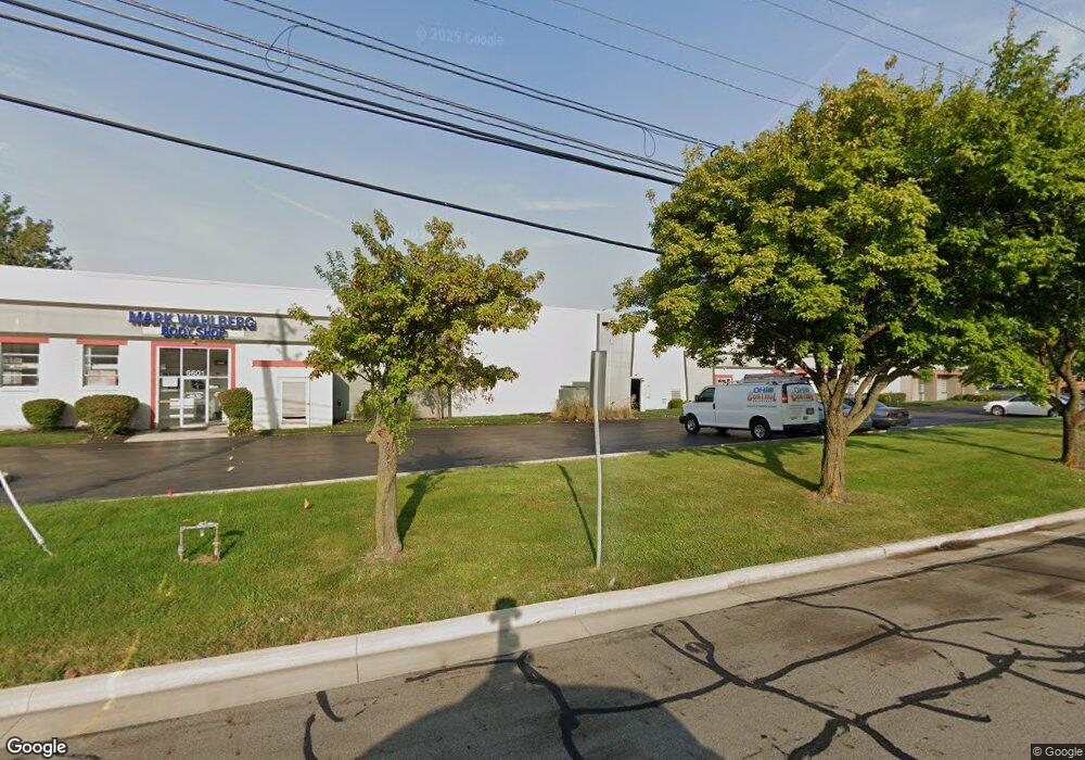
6601 Huntley Rd Columbus, OH 43229
Estimated Value: $2,137,889
Studio
--
Bath
33,000
Sq Ft
$65/Sq Ft
Est. Value
About This Home
This home is located at 6601 Huntley Rd, Columbus, OH 43229 and is currently estimated at $2,137,889, approximately $64 per square foot. 6601 Huntley Rd is a home located in Franklin County with nearby schools including Wilson Hill Elementary School, Kilbourne Middle School, and Thomas Worthington High School.
Ownership History
Date
Name
Owned For
Owner Type
Purchase Details
Closed on
Oct 23, 2025
Sold by
Huntley Partners Llc
Bought by
Huntley Partners Ii Llc
Current Estimated Value
Home Financials for this Owner
Home Financials are based on the most recent Mortgage that was taken out on this home.
Original Mortgage
$1,400,000
Outstanding Balance
$1,400,000
Interest Rate
6.35%
Mortgage Type
Credit Line Revolving
Estimated Equity
$737,889
Purchase Details
Closed on
Feb 24, 2015
Sold by
J M Lp
Bought by
Huntley Partners Llc
Purchase Details
Closed on
Aug 30, 1993
Purchase Details
Closed on
Aug 11, 1989
Create a Home Valuation Report for This Property
The Home Valuation Report is an in-depth analysis detailing your home's value as well as a comparison with similar homes in the area
Home Values in the Area
Average Home Value in this Area
Purchase History
| Date | Buyer | Sale Price | Title Company |
|---|---|---|---|
| Huntley Partners Ii Llc | -- | None Listed On Document | |
| Huntley Partners Llc | -- | Bexley Title | |
| Huntley Partners Llc | -- | Bexley Title | |
| -- | $650,000 | -- | |
| -- | $760,000 | -- |
Source: Public Records
Mortgage History
| Date | Status | Borrower | Loan Amount |
|---|---|---|---|
| Open | Huntley Partners Ii Llc | $1,400,000 |
Source: Public Records
Tax History
| Year | Tax Paid | Tax Assessment Tax Assessment Total Assessment is a certain percentage of the fair market value that is determined by local assessors to be the total taxable value of land and additions on the property. | Land | Improvement |
|---|---|---|---|---|
| 2025 | $47,590 | $490,150 | $126,180 | $363,970 |
| 2024 | $47,590 | $490,150 | $126,180 | $363,970 |
| 2023 | $45,394 | $490,140 | $126,175 | $363,965 |
| 2022 | $42,664 | $391,380 | $80,750 | $310,630 |
| 2021 | $40,291 | $391,380 | $80,750 | $310,630 |
| 2020 | $39,092 | $391,380 | $80,750 | $310,630 |
| 2019 | $35,883 | $340,210 | $70,110 | $270,100 |
| 2018 | $34,639 | $340,210 | $70,110 | $270,100 |
| 2017 | $33,750 | $340,210 | $70,110 | $270,100 |
| 2016 | $34,197 | $332,510 | $70,110 | $262,400 |
| 2015 | $34,171 | $332,510 | $70,110 | $262,400 |
| 2014 | $34,155 | $332,510 | $70,110 | $262,400 |
| 2013 | $16,722 | $332,500 | $70,105 | $262,395 |
Source: Public Records
Map
Nearby Homes
- 357 Highland Way
- 0 Proprietors Rd Unit 225002452
- 433 Crandall Dr
- 418 Pittsfield Dr
- 930 Proprietors Rd
- 421 E North St
- 132-136 Highland Ave
- 365 E North St Unit 5
- 135 Glen Cir
- 1120 Morning St
- 90 Highland Ave
- 6189 Northgap Dr
- 1288 Oakfield Dr N
- 7470 Sancus Blvd Unit 7470
- 1484 Cardwell Square N
- 6137 Ambleside Dr
- 5830 Sinclair Rd
- 6336 Archmere Square E
- 5780 N Meadows Blvd
- 6805 Alloway St E
- 6589 Huntley Rd
- 6575 Huntley Rd
- 6740 Huntley Rd Unit H/I
- 6740 Huntley Rd Unit L/N
- 6740 Huntley Rd Unit D
- 6740 Huntley Rd
- 6767 Huntley Rd
- 0 Kingsmill Ct
- 6530 Huntley Rd Unit A
- 6520 Huntley Rd Unit B
- 6520 Huntley Rd
- 6665 Busch Blvd
- 6772 Highland Place
- 6780 Highland Place
- 6510 Huntley Rd
- 6788 Highland Place
- 6796 Highland Place
- 6592 Proprietors Rd
- 6804 Highland Place
- 389 Eastworth Ct
Your Personal Tour Guide
Ask me questions while you tour the home.