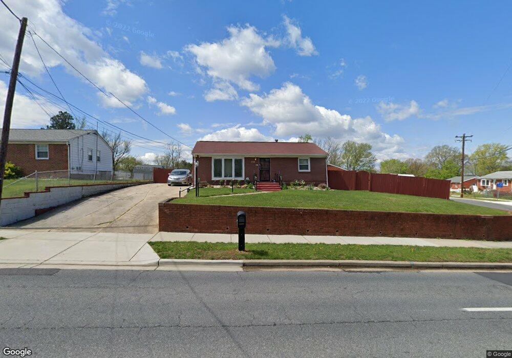
6601 Livingston Rd Oxon Hill, MD 20745
Estimated Value: $342,969 - $406,000
--
Bed
2
Baths
1,014
Sq Ft
$364/Sq Ft
Est. Value
About This Home
This home is located at 6601 Livingston Rd, Oxon Hill, MD 20745 and is currently estimated at $368,742, approximately $363 per square foot. 6601 Livingston Rd is a home located in Prince George's County with nearby schools including Flintstone Elementary School, Oxon Hill Middle School, and Oxon Hill High School.
Ownership History
Date
Name
Owned For
Owner Type
Purchase Details
Closed on
Sep 18, 2000
Sold by
Baker Reginald H
Bought by
Best Calvin J and Best Eleonora E
Current Estimated Value
Purchase Details
Closed on
Jul 16, 1997
Sold by
Baker Reginald H and Baker Michelle L
Bought by
Baker Reginald H
Purchase Details
Closed on
Oct 29, 1992
Sold by
Shifflett Wade L and Shifflett Debra J
Bought by
Baker Reginald H and Baker Michelle L
Create a Home Valuation Report for This Property
The Home Valuation Report is an in-depth analysis detailing your home's value as well as a comparison with similar homes in the area
Home Values in the Area
Average Home Value in this Area
Purchase History
| Date | Buyer | Sale Price | Title Company |
|---|---|---|---|
| Best Calvin J | $135,000 | -- | |
| Baker Reginald H | -- | -- | |
| Baker Reginald H | $115,900 | -- |
Source: Public Records
Tax History Compared to Growth
Tax History
| Year | Tax Paid | Tax Assessment Tax Assessment Total Assessment is a certain percentage of the fair market value that is determined by local assessors to be the total taxable value of land and additions on the property. | Land | Improvement |
|---|---|---|---|---|
| 2025 | $3,787 | $342,200 | -- | -- |
| 2024 | $3,787 | $324,200 | $86,200 | $238,000 |
| 2023 | $1,797 | $289,533 | $0 | $0 |
| 2022 | $3,382 | $254,867 | $0 | $0 |
| 2021 | $3,182 | $220,200 | $75,600 | $144,600 |
| 2020 | $3,128 | $212,600 | $0 | $0 |
| 2019 | $3,058 | $205,000 | $0 | $0 |
| 2018 | $2,973 | $197,400 | $75,600 | $121,800 |
| 2017 | $2,875 | $183,867 | $0 | $0 |
| 2016 | -- | $170,333 | $0 | $0 |
| 2015 | $2,701 | $156,800 | $0 | $0 |
| 2014 | $2,701 | $156,800 | $0 | $0 |
Source: Public Records
Map
Nearby Homes
- 6900 Stirling St
- 6524 Buckland Ct
- 1110 Vinson St
- 7100 Southlawn Dr
- 6348 Stonewain Ct
- 7009 Shagbark Ct
- 6225 Dimrill Ct
- 6903 Bock Rd
- 1007 Comanche Dr
- 5926 Shoshone Dr
- 2016 Belfast Dr
- 2004 Wolf St
- 2107 High Timber Rd
- 6120 Brandyhall Ct
- 1206 Crisfield Dr
- 5812 Shoshone Dr
- 6510 Trowbridge Place
- 5605 Fargo Ave
- 554 Wilson Bridge Dr Unit 6755A( A2)
- 554 Wilson Bridge Dr Unit 6755 B-1
- 1303 Stratwood Ave
- 6603 Livingston Rd
- 6605 Livingston Rd
- 6604 March Dr
- 1301 Stratwood Ave
- 6509 Livingston Rd
- 6606 March Dr
- 6607 Livingston Rd
- 6602 Livingston Rd
- 6600 Livingston Rd
- 6604 Livingston Rd
- 6608 March Dr
- 6508 Livingston Rd
- 1300 Stratwood Ave
- 6608 Livingston Rd
- 6611 Livingston Rd
- 6610 March Dr
- 1207 Stratwood Ave
- 1230 Portabello Ct
- 6506 Livingston Rd