6601 W Root River Dr Franklin, WI 53132
Estimated Value: $311,178 - $430,000
3
Beds
1
Bath
1,142
Sq Ft
$317/Sq Ft
Est. Value
About This Home
This home is located at 6601 W Root River Dr, Franklin, WI 53132 and is currently estimated at $362,295, approximately $317 per square foot. 6601 W Root River Dr is a home located in Milwaukee County with nearby schools including Ben Franklin Elementary School, Forest Park Middle School, and Franklin High School.
Ownership History
Date
Name
Owned For
Owner Type
Purchase Details
Closed on
Sep 26, 2014
Sold by
Paul Dean C and Paul Michael F
Bought by
Wojciechowski Kyle
Current Estimated Value
Home Financials for this Owner
Home Financials are based on the most recent Mortgage that was taken out on this home.
Original Mortgage
$137,750
Outstanding Balance
$105,528
Interest Rate
4.08%
Mortgage Type
New Conventional
Estimated Equity
$256,767
Purchase Details
Closed on
Dec 20, 2000
Sold by
Paul Ardis R
Bought by
Paul Dean C and Paul Michael F
Create a Home Valuation Report for This Property
The Home Valuation Report is an in-depth analysis detailing your home's value as well as a comparison with similar homes in the area
Home Values in the Area
Average Home Value in this Area
Purchase History
| Date | Buyer | Sale Price | Title Company |
|---|---|---|---|
| Wojciechowski Kyle | $145,000 | None Available | |
| Paul Dean C | -- | -- | |
| Paul Ardis Rose | -- | -- |
Source: Public Records
Mortgage History
| Date | Status | Borrower | Loan Amount |
|---|---|---|---|
| Open | Wojciechowski Kyle | $137,750 |
Source: Public Records
Tax History
| Year | Tax Paid | Tax Assessment Tax Assessment Total Assessment is a certain percentage of the fair market value that is determined by local assessors to be the total taxable value of land and additions on the property. | Land | Improvement |
|---|---|---|---|---|
| 2024 | $1,930 | -- | -- | -- |
| 2023 | $4,086 | $263,600 | $88,400 | $175,200 |
| 2022 | $4,450 | $220,700 | $88,400 | $132,300 |
| 2021 | $4,311 | $189,700 | $82,600 | $107,100 |
| 2020 | $4,044 | $0 | $0 | $0 |
| 2019 | $4,327 | $179,600 | $82,600 | $97,000 |
| 2018 | $3,991 | $0 | $0 | $0 |
| 2017 | $4,200 | $165,600 | $82,600 | $83,000 |
| 2015 | -- | $138,400 | $76,400 | $62,000 |
| 2013 | -- | $138,400 | $76,400 | $62,000 |
Source: Public Records
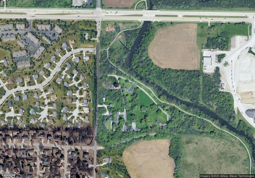
Map
Nearby Homes
- 7260 S Hillside Dr
- 7179 W Rawson Ave Unit 135
- 5732 W Rawson Ave
- Lt7 Terrace Dr
- 6868 W Kathleen Ct
- 3140 W Drexel Ave
- 7904 S 67th St
- 7911 S 68th St Unit 102
- 5350 W Yale Dr
- 8301 W Loomis Rd
- 5872 Riverside Dr
- 5255 W Princeton Dr
- Lt2 S Ballpark Dr
- Lt1 S Ballpark Dr
- 7710 S 51st St Unit 105
- 6748 S Yale Dr
- Lt8 Ridgewood Dr
- 7900 W Drexel Ave
- 7513 W Tuckaway Pines Cir Unit 24
- 5316 Robin Dr
- 7215 S Hillside Dr
- 7236 S 68th St
- 6725 W Root River Dr
- 7261 S Hillside Dr
- 7270 S 68th St
- 7270 S Hillside Dr
- 7232 S Dover Hill Ct
- 7224 S Dover Hill Ct
- 7244 S Dover Hill Ct
- 6545 W Root River Dr
- 7256 S Dover Hill Ct
- 7216 S Dover Hill Ct
- 7268 S Dover Hill Ct
- 6809 W Brunn Dr
- 6526 W Root River Dr
- 7208 S Dover Hill Ct
- 7276 S Dover Hill Ct
- 7241 S Dover Hill Ct
- 6849 W Brunn Dr
- 7229 S Dover Hill Ct
Your Personal Tour Guide
Ask me questions while you tour the home.