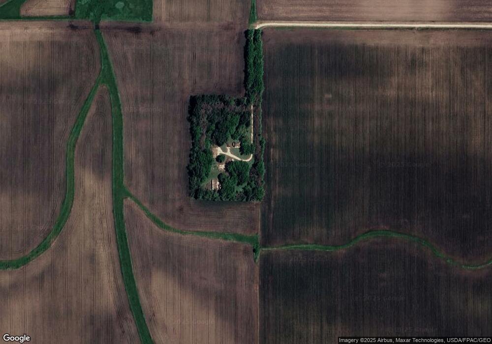
66013 260th St Dexter, MN 55926
Estimated Value: $95,189 - $141,000
4
Beds
--
Bath
768
Sq Ft
$154/Sq Ft
Est. Value
About This Home
This home is located at 66013 260th St, Dexter, MN 55926 and is currently estimated at $118,095, approximately $153 per square foot. 66013 260th St is a home with nearby schools including Southland Elementary School, Southland Middle School, and Southland Senior High School.
Ownership History
Date
Name
Owned For
Owner Type
Purchase Details
Closed on
Apr 24, 2015
Sold by
Morrison Brian J
Bought by
Morrison Trust
Current Estimated Value
Purchase Details
Closed on
Dec 2, 2012
Sold by
Merz Paul J
Bought by
Schrafel Ronald L and Schrafel Sharon R
Purchase Details
Closed on
Nov 29, 2012
Sold by
Schrafel Ronald L and Schrafel Sharon R
Bought by
Morrison Brian
Purchase Details
Closed on
May 1, 2012
Sold by
Schrafel Ronald L and Schrafel Sharon R
Bought by
Schrafel Ronald L and Schrafel Sharon R
Purchase Details
Closed on
Apr 17, 2012
Sold by
Merz Paul J and Merz Rosa
Bought by
Scharafel Ronald L and Schrafel Sharon R
Create a Home Valuation Report for This Property
The Home Valuation Report is an in-depth analysis detailing your home's value as well as a comparison with similar homes in the area
Purchase History
| Date | Buyer | Sale Price | Title Company |
|---|---|---|---|
| Morrison Trust | -- | -- | |
| Schrafel Ronald L | -- | None Available | |
| Morrison Brian | $40,000 | None Available | |
| Schrafel Ronald L | -- | None Available | |
| Scharafel Ronald L | -- | None Available |
Source: Public Records
Tax History
| Year | Tax Paid | Tax Assessment Tax Assessment Total Assessment is a certain percentage of the fair market value that is determined by local assessors to be the total taxable value of land and additions on the property. | Land | Improvement |
|---|---|---|---|---|
| 2025 | $716 | $81,500 | $78,300 | $3,200 |
| 2024 | $716 | $69,900 | $66,300 | $3,600 |
| 2023 | $704 | $67,100 | $66,300 | $800 |
| 2022 | $664 | $67,000 | $66,300 | $700 |
| 2021 | $642 | $55,700 | $55,200 | $500 |
| 2020 | $602 | $55,800 | $55,200 | $600 |
| 2018 | $251 | $49,100 | $48,600 | $500 |
| 2017 | $502 | $0 | $0 | $0 |
| 2016 | $518 | $0 | $0 | $0 |
| 2015 | $604 | $0 | $0 | $0 |
| 2012 | $604 | $0 | $0 | $0 |
Source: Public Records
Map
Nearby Homes
Your Personal Tour Guide
Ask me questions while you tour the home.