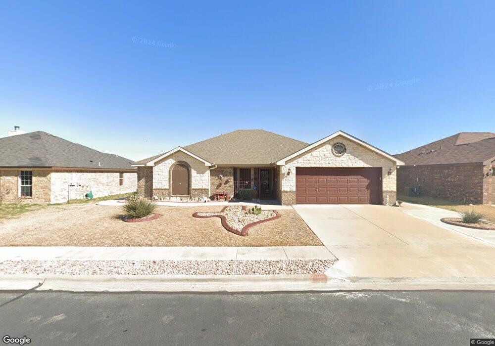
6602 Deorsam Loop Killeen, TX 76542
Estimated Value: $243,972 - $261,000
4
Beds
2
Baths
1,850
Sq Ft
$137/Sq Ft
Est. Value
About This Home
This home is located at 6602 Deorsam Loop, Killeen, TX 76542 and is currently estimated at $252,993, approximately $136 per square foot. 6602 Deorsam Loop is a home located in Bell County with nearby schools including Saegert Elementary School, Charles E. Patterson Middle School, and Memorial Christian Academy.
Ownership History
Date
Name
Owned For
Owner Type
Purchase Details
Closed on
Nov 9, 2012
Sold by
Bentina Homes Ltd
Bought by
Hall Erika W
Current Estimated Value
Home Financials for this Owner
Home Financials are based on the most recent Mortgage that was taken out on this home.
Original Mortgage
$107,500
Outstanding Balance
$74,320
Interest Rate
3.4%
Mortgage Type
VA
Estimated Equity
$178,673
Purchase Details
Closed on
Mar 7, 2011
Sold by
Rsbp Developers Inc
Bought by
Bentina Homes Ltd and Purser Homes
Create a Home Valuation Report for This Property
The Home Valuation Report is an in-depth analysis detailing your home's value as well as a comparison with similar homes in the area
Home Values in the Area
Average Home Value in this Area
Purchase History
| Date | Buyer | Sale Price | Title Company |
|---|---|---|---|
| Hall Erika W | -- | None Available | |
| Bentina Homes Ltd | -- | None Available |
Source: Public Records
Mortgage History
| Date | Status | Borrower | Loan Amount |
|---|---|---|---|
| Open | Hall Erika W | $107,500 |
Source: Public Records
Tax History Compared to Growth
Tax History
| Year | Tax Paid | Tax Assessment Tax Assessment Total Assessment is a certain percentage of the fair market value that is determined by local assessors to be the total taxable value of land and additions on the property. | Land | Improvement |
|---|---|---|---|---|
| 2025 | $1,412 | $255,813 | $45,000 | $210,813 |
| 2024 | $1,412 | $249,203 | -- | -- |
| 2023 | $4,288 | $226,548 | $0 | $0 |
| 2022 | $4,334 | $205,953 | $0 | $0 |
| 2021 | $4,499 | $189,780 | $36,000 | $153,780 |
| 2020 | $4,293 | $170,209 | $36,000 | $134,209 |
| 2019 | $4,476 | $169,962 | $20,100 | $149,862 |
| 2018 | $3,898 | $158,783 | $20,100 | $138,683 |
| 2017 | $3,716 | $150,621 | $20,100 | $130,521 |
| 2016 | $3,823 | $154,947 | $20,100 | $134,847 |
| 2014 | $2,056 | $151,182 | $0 | $0 |
Source: Public Records
Map
Nearby Homes
- 6602 Catherine Dr
- 6405 Deorsam Loop
- 502 Atlas Ave
- 6503 Wells Fargo Rd
- 905 Clanton Cove
- 903 Clanton Cove
- 902 Hickok Dr
- 601 Constellation Dr
- 6605 Wells Fargo Rd
- 508 Taurus Dr
- 6505 Cassidy Ln
- 513 Taurus Dr
- 307 Leo Ln
- 805 McLintock Cove
- 506 Perseus
- 410 Taurus Dr
- 308 Constellation Dr
- 903 James Parker Cir
- 621 Waylon Cir
- 613 Waylon Cir
- 6604 Deorsam Loop
- 6600 Deorsam Loop
- 6601 Alvin Dr
- 6513 Alvin Dr
- 6603 Alvin Dr
- 6512 Deorsam Loop
- 6606 Deorsam Loop
- 6601 Deorsam Loop
- 6603 Deorsam Loop
- 6511 Alvin Dr
- 6605 Alvin Dr
- 6513 Deorsam Loop
- 6605 Deorsam Loop
- 6608 Deorsam Loop
- 6510 Deorsam Loop
- 6511 Deorsam Loop
- 6509 Alvin Dr
- 6607 Alvin Dr
- 6607 Deorsam Loop
- 6602 Alvin Dr