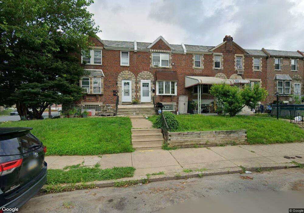
6602 Horrocks St Philadelphia, PA 19149
Castor Gardens NeighborhoodEstimated Value: $210,745 - $226,000
3
Beds
1
Bath
1,078
Sq Ft
$202/Sq Ft
Est. Value
About This Home
This home is located at 6602 Horrocks St, Philadelphia, PA 19149 and is currently estimated at $217,686, approximately $201 per square foot. 6602 Horrocks St is a home located in Philadelphia County with nearby schools including Gilbert Spruance School, Northeast High School, and Gospel of Grace Christian School.
Ownership History
Date
Name
Owned For
Owner Type
Purchase Details
Closed on
Apr 14, 2022
Sold by
Crego Christina M
Bought by
6602 Horrocks Llc
Current Estimated Value
Purchase Details
Closed on
Apr 13, 2022
Sold by
Crego Christina M
Bought by
6602 Horrocks Llc
Purchase Details
Closed on
Mar 30, 1984
Bought by
Grego Richard F and Grego Christina M
Create a Home Valuation Report for This Property
The Home Valuation Report is an in-depth analysis detailing your home's value as well as a comparison with similar homes in the area
Home Values in the Area
Average Home Value in this Area
Purchase History
| Date | Buyer | Sale Price | Title Company |
|---|---|---|---|
| 6602 Horrocks Llc | $85,000 | None Listed On Document | |
| 6602 Horrocks Llc | $85,000 | None Listed On Document | |
| Grego Richard F | $38,900 | -- |
Source: Public Records
Tax History Compared to Growth
Tax History
| Year | Tax Paid | Tax Assessment Tax Assessment Total Assessment is a certain percentage of the fair market value that is determined by local assessors to be the total taxable value of land and additions on the property. | Land | Improvement |
|---|---|---|---|---|
| 2025 | $2,395 | $212,500 | $42,500 | $170,000 |
| 2024 | $2,395 | $212,500 | $42,500 | $170,000 |
| 2023 | $2,395 | $171,100 | $34,220 | $136,880 |
| 2022 | $1,132 | $126,100 | $34,220 | $91,880 |
| 2021 | $1,762 | $0 | $0 | $0 |
| 2020 | $1,762 | $0 | $0 | $0 |
| 2019 | $1,691 | $0 | $0 | $0 |
| 2018 | $1,543 | $0 | $0 | $0 |
| 2017 | $1,543 | $0 | $0 | $0 |
| 2016 | $1,123 | $0 | $0 | $0 |
| 2015 | $1,075 | $0 | $0 | $0 |
| 2014 | -- | $110,200 | $18,253 | $91,947 |
| 2012 | -- | $14,784 | $1,882 | $12,902 |
Source: Public Records
Map
Nearby Homes
- 6640 Souder St
- 6621 Sylvester St
- 6627 Oakland St
- 1535 Hellerman St
- 6626 Lynford St
- 1500 Hellerman St
- 6725 Eastwood St
- 1501 Elbridge St
- 6739 Lynford St
- 6826 Sylvester St
- 6829 Horrocks St
- 6827 Lynford St
- 6834 Large St
- 1437 Magee Ave
- 1431 Greeby St
- 1425 Fanshawe St
- 2141 Fanshawe St
- 1412 Magee Ave
- 1417 Unruh Ave
- 1409 Greeby St
- 6600 Horrocks St
- 6606 Horrocks St
- 6608 Horrocks St
- 6610 Horrocks St
- 6603 Souder St
- 6605 Souder St
- 6601 Souder St
- 6607 Souder St
- 6612 Horrocks St
- 6609 Souder St
- 6614 Horrocks St
- 6611 Souder St
- 6616 Horrocks St
- 6613 Souder St
- 6615 Souder St
- 6618 Horrocks St
- 6556 Horrocks St
- 6605 Horrocks St
- 6607 Horrocks St
- 6601 Horrocks St