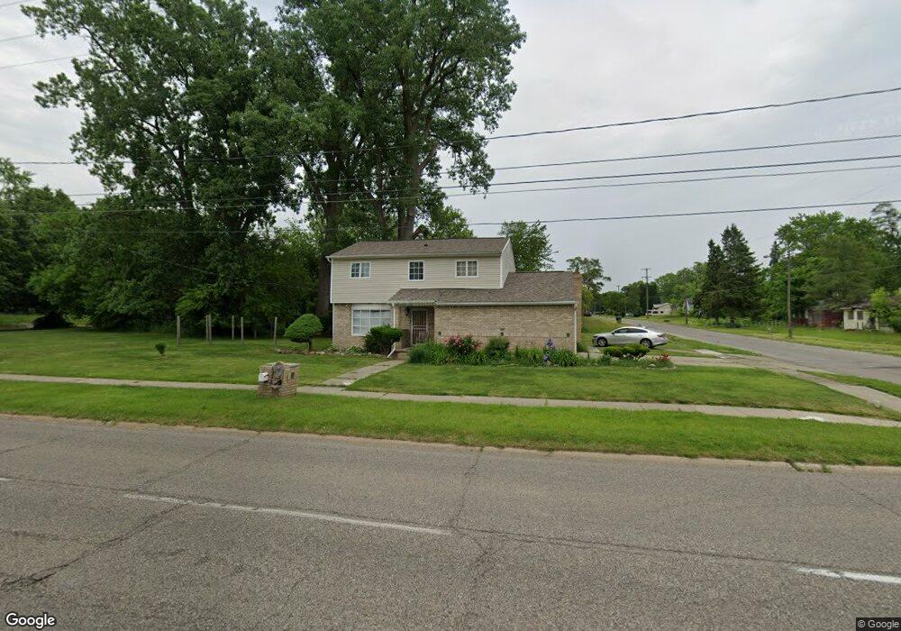
6602 M l King Ave Flint, MI 48505
MLK Circle NeighborhoodEstimated Value: $48,000 - $139,000
4
Beds
3
Baths
1,624
Sq Ft
$51/Sq Ft
Est. Value
About This Home
This home is located at 6602 M l King Ave, Flint, MI 48505 and is currently estimated at $82,941, approximately $51 per square foot. 6602 M l King Ave is a home located in Genesee County with nearby schools including Brownell STEM Academy, The New Standard Academy, and Eagle's Nest Academy.
Ownership History
Date
Name
Owned For
Owner Type
Purchase Details
Closed on
Sep 11, 2025
Sold by
Henry R Tannenbaum Trust and Tannenbaum Henry R
Bought by
Montgomery Robert E
Current Estimated Value
Purchase Details
Closed on
Jun 1, 2023
Sold by
Montgomery Robert E
Bought by
Henry R Tannenbaum Trust
Purchase Details
Closed on
Apr 14, 2009
Sold by
Secretary Of Housing & Urban Development
Bought by
Montgomery Robert
Purchase Details
Closed on
Aug 16, 2006
Sold by
Abn Amro Mortgage Group Inc
Bought by
Hud
Purchase Details
Closed on
Oct 26, 2005
Sold by
Washington Lafonza E and Washington Joan A
Bought by
Abn Amro Mortgage Group Inc
Purchase Details
Closed on
Jun 12, 2002
Sold by
Washington Lafonza E and Washington Joan A
Bought by
Citizens Bank
Create a Home Valuation Report for This Property
The Home Valuation Report is an in-depth analysis detailing your home's value as well as a comparison with similar homes in the area
Home Values in the Area
Average Home Value in this Area
Purchase History
| Date | Buyer | Sale Price | Title Company |
|---|---|---|---|
| Montgomery Robert E | $13,000 | None Listed On Document | |
| Henry R Tannenbaum Trust | -- | None Listed On Document | |
| Montgomery Robert | $2,000 | None Available | |
| Hud | -- | None Available | |
| Abn Amro Mortgage Group Inc | $30,020 | None Available | |
| Citizens Bank | $22,150 | -- |
Source: Public Records
Tax History
| Year | Tax Paid | Tax Assessment Tax Assessment Total Assessment is a certain percentage of the fair market value that is determined by local assessors to be the total taxable value of land and additions on the property. | Land | Improvement |
|---|---|---|---|---|
| 2025 | $1,187 | $19,900 | $0 | $0 |
| 2024 | $1,068 | $17,300 | $0 | $0 |
| 2023 | $710 | $14,200 | $0 | $0 |
| 2022 | $0 | $10,600 | $0 | $0 |
| 2021 | $733 | $10,700 | $0 | $0 |
| 2020 | $668 | $9,500 | $0 | $0 |
| 2019 | $656 | $8,300 | $0 | $0 |
| 2018 | $645 | $8,200 | $0 | $0 |
| 2017 | $647 | $0 | $0 | $0 |
| 2016 | $645 | $0 | $0 | $0 |
| 2015 | -- | $0 | $0 | $0 |
| 2014 | -- | $0 | $0 | $0 |
| 2012 | -- | $11,400 | $0 | $0 |
Source: Public Records
Map
Nearby Homes
- 405 W Bundy Ave
- 506 W Alma Ave
- 510 W Alma Ave
- 514 W Alma Ave
- 302 E York Ave
- 518 W Ruth Ave
- 605 W Foss Ave
- 225 E Piper Ave
- 525 W Bundy Ave
- 614 W Holbrook Ave
- 613 W Foss Ave
- 610 W Austin Ave
- 345 E Austin Ave
- 618 W Austin Ave
- 421 E Lorado Ave
- 426 E Holbrook Ave
- 422 E Foss Ave
- 425 E Lorado Ave
- 536 W Home Ave
- 6714 Cranwood Dr
- 6602 Martin l King Ave
- 113 E Foss Ave
- 102 E Holbrook Ave
- 109 E Foss Ave
- 117 E Foss Ave
- 106 W Foss Ave
- 102 E Foss Ave
- 118 E Holbrook Ave
- 110 E Foss Ave
- 121 E Foss Ave
- 114 E Foss Ave
- 110 W Foss Ave
- 120 E Holbrook Ave
- 118 E Foss Ave
- 125 E Foss Ave
- 114 W Foss Ave
- 105 W Foss Ave
- 109 W Holbrook Ave
- 126 E Holbrook Ave
- 129 E Foss Ave
Your Personal Tour Guide
Ask me questions while you tour the home.