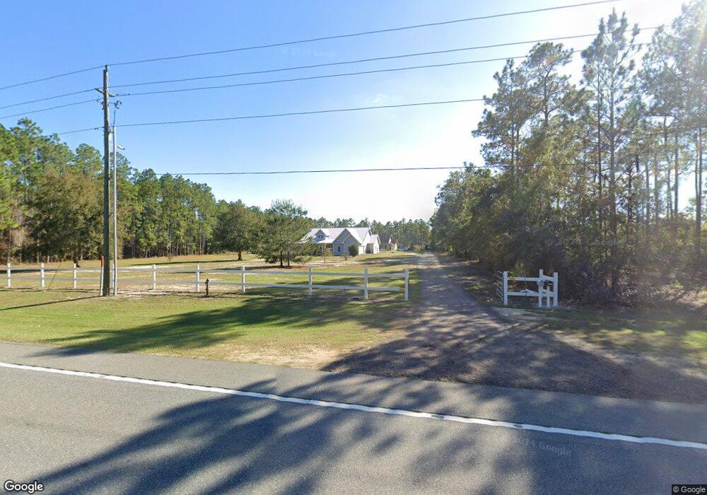
6602 State Highway 20 E Freeport, FL 32439
Estimated Value: $661,000 - $769,000
3
Beds
4
Baths
4,142
Sq Ft
$169/Sq Ft
Est. Value
About This Home
This home is located at 6602 State Highway 20 E, Freeport, FL 32439 and is currently estimated at $699,793, approximately $168 per square foot. 6602 State Highway 20 E is a home with nearby schools including Freeport Elementary School, Freeport Middle School, and Freeport Senior High School.
Ownership History
Date
Name
Owned For
Owner Type
Purchase Details
Closed on
Jul 15, 2014
Sold by
Burnham Jennifer Lee and Burnham Jason C
Bought by
Burnham Willard C and Burnham Beverly A
Current Estimated Value
Home Financials for this Owner
Home Financials are based on the most recent Mortgage that was taken out on this home.
Original Mortgage
$168,000
Outstanding Balance
$127,410
Interest Rate
4.2%
Mortgage Type
New Conventional
Estimated Equity
$572,383
Create a Home Valuation Report for This Property
The Home Valuation Report is an in-depth analysis detailing your home's value as well as a comparison with similar homes in the area
Home Values in the Area
Average Home Value in this Area
Purchase History
| Date | Buyer | Sale Price | Title Company |
|---|---|---|---|
| Burnham Willard C | $230,000 | Old South Land Title Company |
Source: Public Records
Mortgage History
| Date | Status | Borrower | Loan Amount |
|---|---|---|---|
| Open | Burnham Willard C | $168,000 |
Source: Public Records
Tax History
| Year | Tax Paid | Tax Assessment Tax Assessment Total Assessment is a certain percentage of the fair market value that is determined by local assessors to be the total taxable value of land and additions on the property. | Land | Improvement |
|---|---|---|---|---|
| 2025 | $2,473 | $333,442 | -- | -- |
| 2024 | $2,341 | $324,045 | -- | -- |
| 2023 | $2,341 | $314,607 | $0 | $0 |
| 2022 | $2,361 | $305,444 | $0 | $0 |
| 2021 | $2,394 | $296,548 | $0 | $0 |
| 2020 | $2,436 | $295,762 | $8,900 | $286,862 |
| 2019 | $2,362 | $285,879 | $0 | $0 |
| 2018 | $2,323 | $280,549 | $0 | $0 |
| 2017 | $2,279 | $274,779 | $0 | $0 |
| 2016 | $2,250 | $269,127 | $0 | $0 |
| 2015 | $2,271 | $267,256 | $0 | $0 |
| 2014 | $2,680 | $269,765 | $0 | $0 |
Source: Public Records
Map
Nearby Homes
- xxxx St Highway 20 E
- 502 Windswept Blvd
- 4B Drifted Sand Ct
- 12 E Club House Dr
- 155 Club House Dr E
- 354 Club House Dr E
- 180 Gulf Pines Ct
- xxxx Highway 20 E
- 158 Bentgrass S
- 629 Club House Dr W
- 20B W Club House Dr
- 513 Club House Dr W
- 279 Tournament Ln
- Lot 23 Brushed Dune Cir
- tbd Brushed Dune Cir
- 1003 Coastal Breeze Dr
- 285 J W Hollington Rd
- 334 Tournament Ln
- 331 Brushed Dunes Cir
- 961 N Coastal Breeze Dr
- 6600 State Highway 20 E
- xxxx State Highway 20 E
- TBD State Highway 20 E
- 552 Windswept Blvd
- 6200 E St Hwy 20
- 6150 State Highway 20 E
- 5910 Hwy 20
- 107 Plum Ave
- Lot 10 Windswept Ln
- 23 Plum Ave
- 23 Plum Ave
- 6.95 ACRES Hwy 20
- xxx E St Highway 20
- 397 Windswept Blvd
- 104 Plum Ave
- 436 Windswept Blvd
- 431 Windswept Blvd
- 460 Windswept Blvd
- 480 Windswept Blvd
- 00 Stanley Dr
Your Personal Tour Guide
Ask me questions while you tour the home.