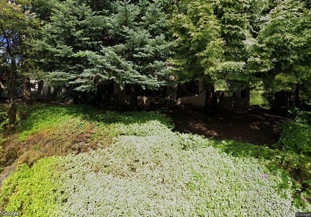
6605 W Burnside Rd Portland, OR 97210
Estimated Value: $422,000 - $435,876
3
Beds
3
Baths
1,469
Sq Ft
$292/Sq Ft
Est. Value
About This Home
This home is located at 6605 W Burnside Rd, Portland, OR 97210 and is currently estimated at $429,469, approximately $292 per square foot. 6605 W Burnside Rd is a home located in Washington County with nearby schools including West Tualatin View Elementary School, Cedar Park Middle School, and Beaverton High School.
Ownership History
Date
Name
Owned For
Owner Type
Purchase Details
Closed on
Feb 18, 2025
Sold by
Wu Living Trust and Wu Philip
Bought by
Yang
Current Estimated Value
Home Financials for this Owner
Home Financials are based on the most recent Mortgage that was taken out on this home.
Original Mortgage
$321,750
Outstanding Balance
$321,483
Interest Rate
6.93%
Mortgage Type
New Conventional
Estimated Equity
$111,791
Purchase Details
Closed on
Aug 3, 2005
Sold by
Wu Philip
Bought by
Wu Philip and Campbell Gary William
Purchase Details
Closed on
Sep 29, 1997
Sold by
Qbw Llc
Bought by
Wu Philip
Home Financials for this Owner
Home Financials are based on the most recent Mortgage that was taken out on this home.
Original Mortgage
$120,000
Interest Rate
7.44%
Create a Home Valuation Report for This Property
The Home Valuation Report is an in-depth analysis detailing your home's value as well as a comparison with similar homes in the area
Home Values in the Area
Average Home Value in this Area
Purchase History
| Date | Buyer | Sale Price | Title Company |
|---|---|---|---|
| Yang | $429,000 | Wfg Title | |
| Wu Philip | -- | -- | |
| Wu Philip | $210,000 | Transnation Title Insurance |
Source: Public Records
Mortgage History
| Date | Status | Borrower | Loan Amount |
|---|---|---|---|
| Open | Yang | $321,750 | |
| Previous Owner | Wu Philip | $120,000 |
Source: Public Records
Tax History Compared to Growth
Tax History
| Year | Tax Paid | Tax Assessment Tax Assessment Total Assessment is a certain percentage of the fair market value that is determined by local assessors to be the total taxable value of land and additions on the property. | Land | Improvement |
|---|---|---|---|---|
| 2025 | $6,093 | $354,130 | -- | -- |
| 2024 | $5,845 | $343,820 | -- | -- |
| 2023 | $5,845 | $333,810 | $0 | $0 |
| 2022 | $5,544 | $333,810 | $0 | $0 |
| 2021 | $5,328 | $314,660 | $0 | $0 |
| 2020 | $5,256 | $305,500 | $0 | $0 |
| 2019 | $5,191 | $296,610 | $0 | $0 |
| 2018 | $5,098 | $287,980 | $0 | $0 |
| 2017 | $4,846 | $279,600 | $0 | $0 |
| 2016 | $4,669 | $271,460 | $0 | $0 |
| 2015 | $4,256 | $263,560 | $0 | $0 |
| 2014 | $4,245 | $255,890 | $0 | $0 |
Source: Public Records
Map
Nearby Homes
- 6605 W Burnside Rd Unit 129
- 6605 W Burnside Rd Unit 152
- 6605 W Burnside St Unit 131
- 6625 W Burnside St Unit 242
- 6625 W Burnside Rd Unit 252
- 6625 W Burnside Rd Unit 231
- 6625 W Burnside St Unit 211
- 6685 W Burnside Rd Unit 310
- 6685 W Burnside St Unit 350
- 6685 W Burnside St Unit 343
- 6665 W Burnside Rd Unit 438
- 6665 W Burnside Rd Unit 410
- 6665 W Burnside Rd Unit 447
- 6645 W Burnside Rd Unit 515
- 6645 W Burnside Rd Unit 550
- 6438 SW Barnes Rd
- 6865 SW Windemere Loop
- 700 SW 67th Place
- 6103 SW Salmon St
- 645 SW Viewmont Dr
- 6605 W Burnside Rd Unit 135
- 6605 W Burnside Rd Unit 113
- 6605 W Burnside Rd Unit 148
- 6605 W Burnside Rd Unit 118
- 6605 W Burnside Rd Unit 150
- 6605 W Burnside Rd Unit 136
- 6605 W Burnside Rd Unit 155
- 6605 W Burnside Rd Unit 110
- 6605 W Burnside Rd
- 6605 W Burnside Rd
- 6605 W Burnside Rd
- 6605 W Burnside Rd
- 6605 W Burnside Rd
- 6605 W Burnside Rd Unit 147
- 6605 W Burnside Rd
- 6605 W Burnside Rd Unit 145
- 6605 W Burnside Rd
- 6605 W Burnside Rd
- 6605 W Burnside Rd Unit 142
- 6605 W Burnside Rd Unit 141
