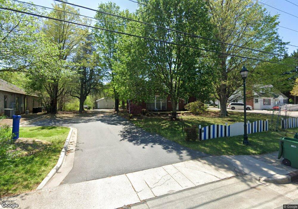
6606 Shallowford Rd Lewisville, NC 27023
Estimated Value: $280,000 - $443,000
4
Beds
2
Baths
1,550
Sq Ft
$217/Sq Ft
Est. Value
About This Home
This home is located at 6606 Shallowford Rd, Lewisville, NC 27023 and is currently estimated at $336,328, approximately $216 per square foot. 6606 Shallowford Rd is a home located in Forsyth County with nearby schools including Lewisville Elementary School, Meadowlark Middle School, and Ronald W. Reagan High School.
Ownership History
Date
Name
Owned For
Owner Type
Purchase Details
Closed on
Dec 5, 2024
Sold by
Hansley Carrie A and Hansley Michael L
Bought by
Hansley Michael L
Current Estimated Value
Purchase Details
Closed on
May 3, 2007
Sold by
Phillips A Keith and Phillips Kimberly C
Bought by
Hansley Michael L and Hansley Carrie A
Home Financials for this Owner
Home Financials are based on the most recent Mortgage that was taken out on this home.
Original Mortgage
$203,050
Interest Rate
6.1%
Mortgage Type
Seller Take Back
Purchase Details
Closed on
May 14, 1999
Sold by
Patton Meta Pfaff and Patton James G
Bought by
Phillips A Keith and Phillips Kimberly C
Home Financials for this Owner
Home Financials are based on the most recent Mortgage that was taken out on this home.
Original Mortgage
$186,467
Interest Rate
6.98%
Create a Home Valuation Report for This Property
The Home Valuation Report is an in-depth analysis detailing your home's value as well as a comparison with similar homes in the area
Home Values in the Area
Average Home Value in this Area
Purchase History
| Date | Buyer | Sale Price | Title Company |
|---|---|---|---|
| Hansley Michael L | -- | None Listed On Document | |
| Hansley Michael L | $205,000 | None Available | |
| Phillips A Keith | $185,000 | -- |
Source: Public Records
Mortgage History
| Date | Status | Borrower | Loan Amount |
|---|---|---|---|
| Previous Owner | Hansley Michael L | $203,050 | |
| Previous Owner | Phillips A Keith | $186,467 |
Source: Public Records
Tax History Compared to Growth
Tax History
| Year | Tax Paid | Tax Assessment Tax Assessment Total Assessment is a certain percentage of the fair market value that is determined by local assessors to be the total taxable value of land and additions on the property. | Land | Improvement |
|---|---|---|---|---|
| 2025 | $1,847 | $240,500 | $203,900 | $36,600 |
| 2024 | $1,763 | $186,800 | $185,900 | $900 |
| 2023 | $1,763 | $186,800 | $185,900 | $900 |
| 2022 | $1,763 | $186,800 | $185,900 | $900 |
| 2021 | $1,754 | $186,800 | $185,900 | $900 |
| 2020 | $2,005 | $198,900 | $197,900 | $1,000 |
| 2019 | $2,024 | $198,900 | $197,900 | $1,000 |
| 2018 | $2,026 | $198,900 | $197,900 | $1,000 |
| 2016 | $1,875 | $189,842 | $188,345 | $1,497 |
| 2015 | $1,875 | $189,842 | $188,345 | $1,497 |
| 2014 | $1,844 | $189,842 | $188,345 | $1,497 |
Source: Public Records
Map
Nearby Homes
- 196 Belnette Dr
- 6724 Shallowford Rd
- 264 Lewisville Clemmons Rd Unit 2
- 8719 Atlas Heights Way
- 6311 Linda Dr
- 8345 Troxaway Ct
- 300 Doub Rd
- 103 Briar Creek Manor
- 8024 Mill Chase
- 1084 Sequoia Dr
- 199 Sonata Dr
- 8397 Tuscany Dr
- 322 Riverwood Dr
- 541 Lewisville Vienna Rd
- 784 Grinnell St
- 825 Reynolds Rd
- 1018 Sequoia Dr
- 1075 Woodview Ridge Trail
- 835 Grinnell St
- 190 Shallowford Reserve Dr Unit 303
- 6580 Shallowford Rd
- 6610 Shallowford Rd
- 6614 Shallowford Rd
- 6570 Shallowford Rd
- 6630 Shallowford Rd
- 6650 Shallowford Rd
- 6660 Shallowford Rd
- 213 Arrow Leaf Dr
- 6670 Shallowford Rd
- 6665 Shallowford Rd
- 206 Belnette Dr
- 6675 Shallowford Rd
- 230 Arrow Leaf Dr
- 6680 Shallowford Rd
- 76 Arrow Leaf Dr
- 175 Belnette Dr
- 145 Belnette Dr
- 105 Birch Tree Ln
- 165 Belnette Dr
- 155 Belnette Dr