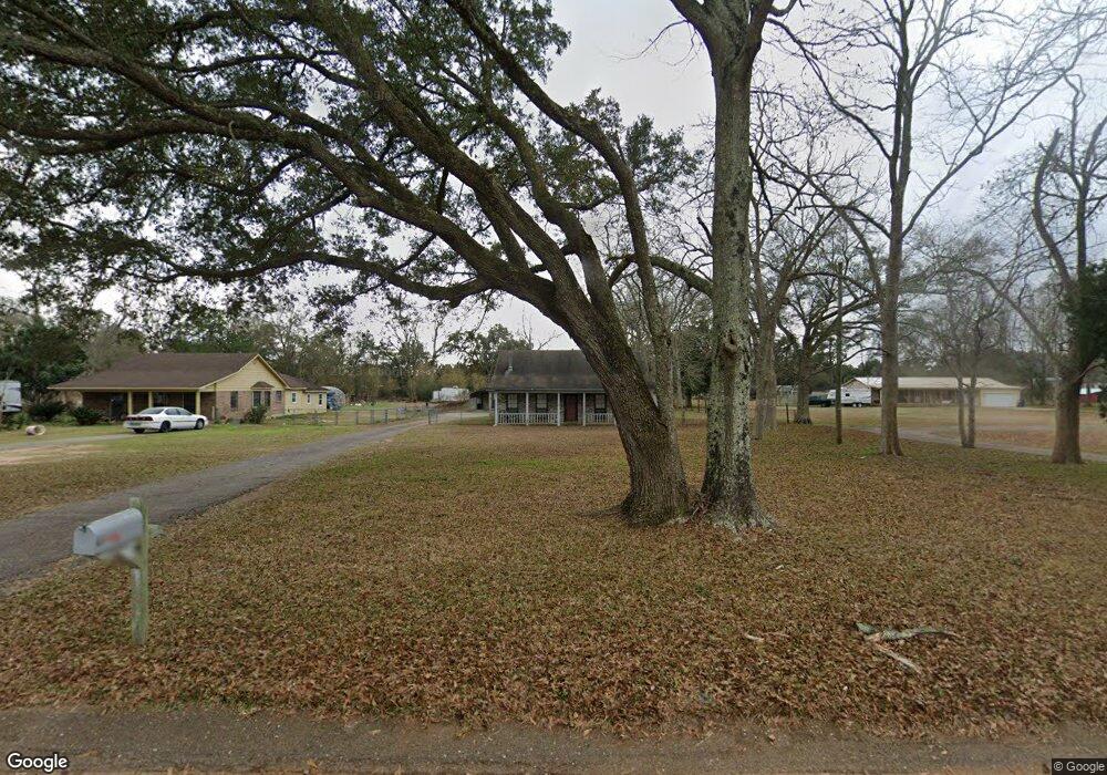
6607 Barnes Rd Theodore, AL 36582
Westfield NeighborhoodEstimated Value: $197,935 - $223,000
3
Beds
2
Baths
1,692
Sq Ft
$126/Sq Ft
Est. Value
About This Home
This home is located at 6607 Barnes Rd, Theodore, AL 36582 and is currently estimated at $212,984, approximately $125 per square foot. 6607 Barnes Rd is a home located in Mobile County with nearby schools including Nan Gray Davis Elementary School, Katherine H Hankins Middle School, and Theodore High School.
Ownership History
Date
Name
Owned For
Owner Type
Purchase Details
Closed on
Jul 31, 2007
Sold by
Faggard Edward R and Faggard Marcia D
Bought by
Bryant Matthew C
Current Estimated Value
Home Financials for this Owner
Home Financials are based on the most recent Mortgage that was taken out on this home.
Original Mortgage
$124,800
Outstanding Balance
$78,896
Interest Rate
6.63%
Mortgage Type
New Conventional
Estimated Equity
$134,088
Create a Home Valuation Report for This Property
The Home Valuation Report is an in-depth analysis detailing your home's value as well as a comparison with similar homes in the area
Home Values in the Area
Average Home Value in this Area
Purchase History
| Date | Buyer | Sale Price | Title Company |
|---|---|---|---|
| Bryant Matthew C | $156,000 | Slt |
Source: Public Records
Mortgage History
| Date | Status | Borrower | Loan Amount |
|---|---|---|---|
| Open | Bryant Matthew C | $124,800 |
Source: Public Records
Tax History Compared to Growth
Tax History
| Year | Tax Paid | Tax Assessment Tax Assessment Total Assessment is a certain percentage of the fair market value that is determined by local assessors to be the total taxable value of land and additions on the property. | Land | Improvement |
|---|---|---|---|---|
| 2024 | $874 | $15,810 | $2,200 | $13,610 |
| 2023 | $706 | $13,450 | $2,600 | $10,850 |
| 2022 | $586 | $13,450 | $2,600 | $10,850 |
| 2021 | $586 | $13,450 | $2,600 | $10,850 |
| 2020 | $586 | $13,450 | $2,600 | $10,850 |
| 2019 | $573 | $13,200 | $0 | $0 |
| 2018 | $573 | $13,200 | $0 | $0 |
| 2017 | $586 | $13,460 | $0 | $0 |
| 2016 | $598 | $13,720 | $0 | $0 |
| 2013 | -- | $14,000 | $0 | $0 |
Source: Public Records
Map
Nearby Homes
- 6521 Barnes Rd
- 6624 Morgan Jackson Ct
- 6795 Browder Dr
- 6799 Foxwood Dr
- 6631 Sandra Dr
- 6293 Woodside Dr S
- 6840 Highmont Dr
- 6913 Gray Oaks Dr
- 6987 Magnolia Trace
- 6425 Boykin Rd
- 6551 Tung Ave W
- 6780 Boykin Rd
- 7432 Havenwood Dr
- 6361 Rester Rd
- 7340 Broadview Dr E
- 5950 Theodore Dawes Rd
- 6178 Sperry Rd
- 7520 Oak Dr W
- 0 Rester Rd
- 7347 Broadview Dr E
- 6559 Barnes Rd
- 6581 Barnes Rd
- 0 Barnes Rd Unit 7047205
- 0 Barnes Rd Unit 27
- 6635 Barnes Rd
- 6590 Barnes Rd
- 6551 Barnes Rd
- 6584 Barnes Rd
- 6640 Barnes Rd
- 6600 Browder Dr
- 6547 Barnes Rd
- 6590 Browder Dr
- 6580 Barnes Rd
- 6630 Browder Dr
- 6580 Browder Dr
- 6650 Barnes Rd
- 6570 Barnes Rd
- 6654 Barnes Rd
- 6560 Browder Dr
- 6640 Browder Dr