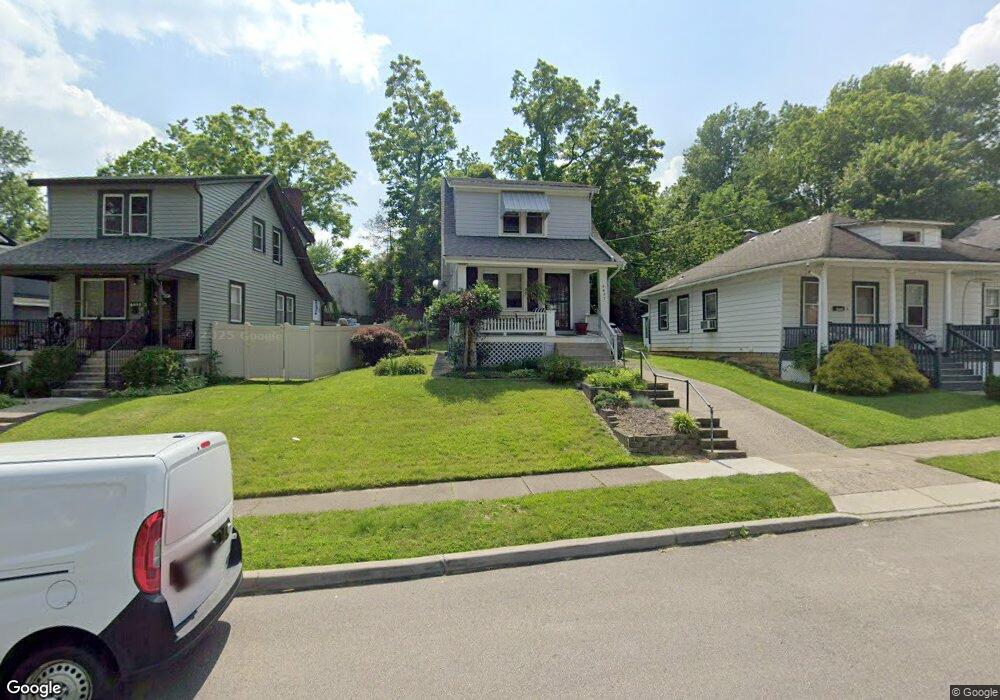
6607 Coleridge Ave Cincinnati, OH 45213
Kennedy Heights NeighborhoodEstimated Value: $166,000 - $228,000
2
Beds
2
Baths
1,008
Sq Ft
$199/Sq Ft
Est. Value
About This Home
This home is located at 6607 Coleridge Ave, Cincinnati, OH 45213 and is currently estimated at $201,028, approximately $199 per square foot. 6607 Coleridge Ave is a home located in Hamilton County with nearby schools including John P. Parker School, Shroder High School, and Clark Montessori High School.
Ownership History
Date
Name
Owned For
Owner Type
Purchase Details
Closed on
Sep 30, 2020
Sold by
Posey Patricia G
Bought by
Posey Patricia G and Payne Darrell
Current Estimated Value
Purchase Details
Closed on
Sep 15, 2004
Sold by
Wesley Annie
Bought by
Posey Patricia G
Create a Home Valuation Report for This Property
The Home Valuation Report is an in-depth analysis detailing your home's value as well as a comparison with similar homes in the area
Home Values in the Area
Average Home Value in this Area
Purchase History
| Date | Buyer | Sale Price | Title Company |
|---|---|---|---|
| Posey Patricia G | -- | None Available | |
| Posey Patricia G | $82,500 | -- |
Source: Public Records
Tax History Compared to Growth
Tax History
| Year | Tax Paid | Tax Assessment Tax Assessment Total Assessment is a certain percentage of the fair market value that is determined by local assessors to be the total taxable value of land and additions on the property. | Land | Improvement |
|---|---|---|---|---|
| 2024 | $1,857 | $40,999 | $10,500 | $30,499 |
| 2023 | $1,950 | $40,999 | $10,500 | $30,499 |
| 2022 | $949 | $22,547 | $9,492 | $13,055 |
| 2021 | $897 | $22,547 | $9,492 | $13,055 |
| 2020 | $938 | $22,547 | $9,492 | $13,055 |
| 2019 | $828 | $19,954 | $8,400 | $11,554 |
| 2018 | $830 | $19,954 | $8,400 | $11,554 |
| 2017 | $1,476 | $19,954 | $8,400 | $11,554 |
| 2016 | $2,225 | $29,400 | $8,820 | $20,580 |
| 2015 | $1,989 | $29,400 | $8,820 | $20,580 |
| 2014 | $2,000 | $29,400 | $8,820 | $20,580 |
| 2013 | $1,938 | $28,000 | $8,400 | $19,600 |
Source: Public Records
Map
Nearby Homes
- 6456 Mchugh Place
- 6460 Mchugh Place
- 6508 Coleridge Ave
- 6502 Coleridge Ave
- 6631 Ravenal Ct
- 6745 Belkenton Ave
- 6914 Montgomery Rd
- 6218 Coleridge Ave
- 3717 Standish Ave
- 6212 Coleridge Ave
- 6535 Highland Ave
- 3824 Standish Ave
- 6218 Kennedy Ave
- 6321 Tyne Ave
- 3563 Amberacres Dr
- 6256 Rogers Park Place
- 6773 Siebern Ave
- 3543 Amberacres Dr
- 3566 Amberacres Dr
- 3542 Amberacres Dr
- 6605 Coleridge Ave
- 6609 Coleridge Ave
- 6603 Coleridge Ave
- 6613 Coleridge Ave
- 6615 Coleridge Ave
- 6601 Coleridge Ave
- 6702 Hampton Dr
- 6617 Coleridge Ave
- 6706 Hampton Dr
- 6619 Coleridge Ave
- 6448 Mchugh Place
- 3702 Odin Ave
- 6708 Hampton Dr
- 6523 Coleridge Ave
- 6620 Coleridge Ave
- 6709 Hampton Dr
- 6623 Coleridge Ave
- 6446 Mchugh Place
- 6519 Coleridge Ave
- 6710 Hampton Dr