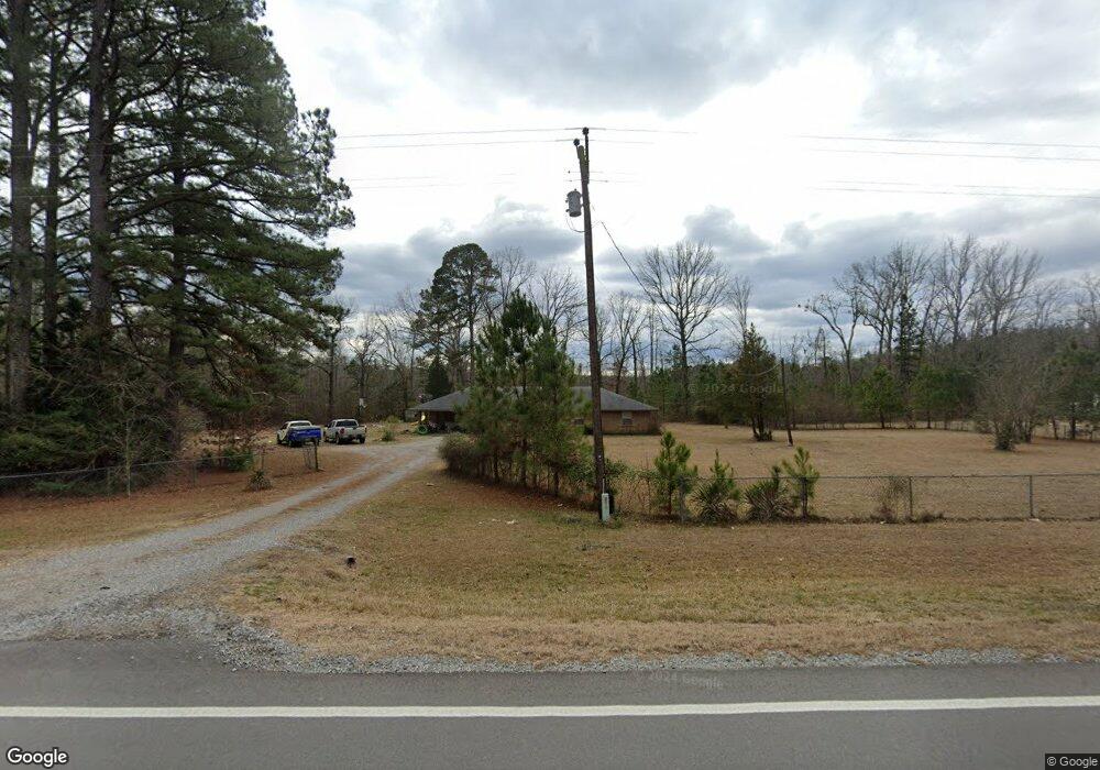
6607 Highway 190 E White Hall, AR 71602
Estimated Value: $91,286 - $218,000
--
Bed
1
Bath
624
Sq Ft
$227/Sq Ft
Est. Value
About This Home
This home is located at 6607 Highway 190 E, White Hall, AR 71602 and is currently estimated at $141,572, approximately $226 per square foot. 6607 Highway 190 E is a home located in Grant County with nearby schools including Sheridan High School.
Ownership History
Date
Name
Owned For
Owner Type
Purchase Details
Closed on
Feb 5, 2009
Sold by
Homesales Llc
Bought by
Rhodes Jason M
Current Estimated Value
Home Financials for this Owner
Home Financials are based on the most recent Mortgage that was taken out on this home.
Original Mortgage
$48,705
Outstanding Balance
$30,473
Interest Rate
4.91%
Mortgage Type
New Conventional
Estimated Equity
$111,099
Purchase Details
Closed on
Mar 24, 2004
Bought by
Carpenter
Purchase Details
Closed on
Jun 10, 2001
Bought by
Correction For Legal
Purchase Details
Closed on
Apr 19, 1999
Bought by
Plunkett
Create a Home Valuation Report for This Property
The Home Valuation Report is an in-depth analysis detailing your home's value as well as a comparison with similar homes in the area
Home Values in the Area
Average Home Value in this Area
Purchase History
| Date | Buyer | Sale Price | Title Company |
|---|---|---|---|
| Rhodes Jason M | $45,000 | None Available | |
| Carpenter | $43,000 | -- | |
| Correction For Legal | -- | -- | |
| Plunkett | $12,000 | -- |
Source: Public Records
Mortgage History
| Date | Status | Borrower | Loan Amount |
|---|---|---|---|
| Open | Rhodes Jason M | $48,705 |
Source: Public Records
Tax History Compared to Growth
Tax History
| Year | Tax Paid | Tax Assessment Tax Assessment Total Assessment is a certain percentage of the fair market value that is determined by local assessors to be the total taxable value of land and additions on the property. | Land | Improvement |
|---|---|---|---|---|
| 2024 | $625 | $13,880 | $2,400 | $11,480 |
| 2023 | $200 | $13,880 | $2,400 | $11,480 |
| 2022 | $230 | $13,880 | $2,400 | $11,480 |
| 2021 | $203 | $13,880 | $2,400 | $11,480 |
| 2020 | $175 | $12,230 | $3,000 | $9,230 |
| 2019 | $175 | $12,230 | $3,000 | $9,230 |
| 2018 | $200 | $12,230 | $3,000 | $9,230 |
| 2017 | $200 | $12,230 | $3,000 | $9,230 |
| 2015 | -- | $11,480 | $3,000 | $8,480 |
| 2014 | -- | $11,480 | $3,000 | $8,480 |
| 2012 | -- | $11,050 | $3,000 | $8,050 |
Source: Public Records
Map
Nearby Homes
- TBD Arkansas 190
- 12350 Princeton Pike
- 0 E 190 Hwy Unit 25040379
- 334 Grant 190009
- 0 Highway 190 E
- 0 Lee Springs Rd
- 344 Grant 190005
- 7.61 Acres Grant County Road 23
- 9489 Princeton Pike
- 00 C Princeton Pike
- 00 B Princeton Pike
- 00 A Princeton Pike
- 00 D Princeton Pike
- 9931 Grant 75
- 0 Providence Unit LotWP001 20915111
- 0 Providence Unit LotWP001 20670734
- 0 Providence Unit LotWP001 20670732
- 0 Providence Unit LotWP001 20608048
- 0 Providence Unit LotWP001 20670733
- 3409 Hardin-Reed Rd
- 6589 Highway 190 E
- E Hwy 190
- 6688 Highway 190 E
- 6361 Highway 190 E
- 165 Grant 190020
- 6356 Highway 190 E
- 271 Grant 190020
- 6219 Highway 190 E
- 308 Grant 190020
- 2 County Road 190020
- 7426 Highway 190 E
- 0 Hwy 190 E
- 6125 Highway 190 E
- 7200 Highway 190 E
- 5889 Highway 190 E
- 5730 Highway 190 E
- 5733 Highway 190 E
- 12712 Princeton Pike
- 5715 Highway 190 E