6607 N 300 E West Lafayette, IN 47906
Estimated Value: $254,660 - $288,000
--
Bed
--
Bath
1,728
Sq Ft
$160/Sq Ft
Est. Value
About This Home
This home is located at 6607 N 300 E, West Lafayette, IN 47906 and is currently estimated at $276,665, approximately $160 per square foot. 6607 N 300 E is a home with nearby schools including Battle Ground Elementary School, Battle Ground Middle School, and William Henry Harrison High School.
Ownership History
Date
Name
Owned For
Owner Type
Purchase Details
Closed on
Jun 6, 2015
Sold by
Benham Dona K and Kincaid Lisa A
Bought by
Benham Dona K and Kincaid Lisa A
Current Estimated Value
Purchase Details
Closed on
Sep 30, 2005
Sold by
Jackson Brent A and Jackson Carla R
Bought by
Benham Dona K and Kincaid Lisa A
Home Financials for this Owner
Home Financials are based on the most recent Mortgage that was taken out on this home.
Original Mortgage
$107,200
Outstanding Balance
$57,992
Interest Rate
5.93%
Mortgage Type
Fannie Mae Freddie Mac
Estimated Equity
$218,673
Purchase Details
Closed on
May 27, 2005
Sold by
Brown Michael K
Bought by
Jackson Brent A and Jackson Carla R
Purchase Details
Closed on
Mar 29, 2005
Sold by
Green Thereasa D
Bought by
The Farmers State Bank Of Brookston
Create a Home Valuation Report for This Property
The Home Valuation Report is an in-depth analysis detailing your home's value as well as a comparison with similar homes in the area
Home Values in the Area
Average Home Value in this Area
Purchase History
| Date | Buyer | Sale Price | Title Company |
|---|---|---|---|
| Benham Dona K | -- | -- | |
| Benham Dona K | -- | Advantage Title Inc | |
| Jackson Brent A | -- | -- | |
| Brown Michael K | -- | -- | |
| The Farmers State Bank Of Brookston | -- | -- |
Source: Public Records
Mortgage History
| Date | Status | Borrower | Loan Amount |
|---|---|---|---|
| Open | Benham Dona K | $107,200 |
Source: Public Records
Tax History Compared to Growth
Tax History
| Year | Tax Paid | Tax Assessment Tax Assessment Total Assessment is a certain percentage of the fair market value that is determined by local assessors to be the total taxable value of land and additions on the property. | Land | Improvement |
|---|---|---|---|---|
| 2024 | $1,123 | $190,200 | $20,100 | $170,100 |
| 2023 | $1,084 | $183,500 | $20,100 | $163,400 |
| 2022 | $1,046 | $162,200 | $20,100 | $142,100 |
| 2021 | $875 | $141,800 | $20,100 | $121,700 |
| 2020 | $756 | $132,400 | $20,100 | $112,300 |
| 2019 | $678 | $128,400 | $20,100 | $108,300 |
| 2018 | $662 | $127,200 | $20,100 | $107,100 |
| 2017 | $711 | $131,900 | $20,100 | $111,800 |
| 2016 | $682 | $128,900 | $20,100 | $108,800 |
| 2014 | $633 | $122,900 | $20,100 | $102,800 |
| 2013 | $692 | $125,600 | $20,100 | $105,500 |
Source: Public Records
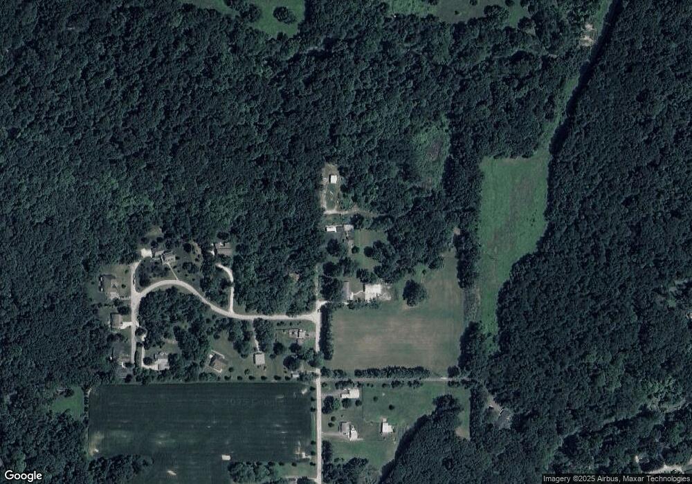
Map
Nearby Homes
- 6203 Munsee Dr
- 6258 Munsee Dr
- 2489 Matchlock Ct
- 6260 Musket Way
- 6027 Flintlock Dr
- 6125 Gallegos Dr
- 203 Jefferson St
- 7319 N 300 E
- 404 Sherman St
- 105 Tippecanoe St
- 6954 State Road 43 N
- 7625 Indiana 43
- 179 Burnetts Rd
- 5641 Stardust Ln
- 5935 Houston Rd
- 1578 W Herring Way Rd
- 5745 Stardust Ln Unit 3
- 1150 Stardust Ln
- 5675 Stardust Ln
- 1434 Shootingstar Way
- 6531 N 300 E
- 6429 N 300 E
- 6621 N 300 E
- 6534 N 300 E
- 2930 Chinagrove Dr
- 6514 N 300 E
- 6502 N 300 E
- 2921 Chinagrove Dr
- 2910 Chinagrove Dr
- 2901 China Grove Dr
- 2850 Chinagrove Dr
- 2831 Chinagrove Dr
- 6335 N 300 E
- 6332 N 300 E
- 6406 N 300 E
- 2811 Chinagrove Dr
- 6324 N 300 E
- 6227 N 300 E
- 420 Jewett St
- 6211 N 300 E