6607 Winters Prey Trail Moseley, VA 23120
Moseley NeighborhoodEstimated Value: $828,489 - $969,000
4
Beds
5
Baths
5,544
Sq Ft
$161/Sq Ft
Est. Value
About This Home
This home is located at 6607 Winters Prey Trail, Moseley, VA 23120 and is currently estimated at $893,872, approximately $161 per square foot. 6607 Winters Prey Trail is a home located in Chesterfield County with nearby schools including Tomahawk Creek Middle School, Cosby High School, and Millwood School.
Ownership History
Date
Name
Owned For
Owner Type
Purchase Details
Closed on
Mar 9, 2012
Sold by
Nvr Inc
Bought by
Perry Bruce D
Current Estimated Value
Home Financials for this Owner
Home Financials are based on the most recent Mortgage that was taken out on this home.
Original Mortgage
$476,595
Outstanding Balance
$327,231
Interest Rate
3.86%
Mortgage Type
FHA
Estimated Equity
$566,641
Create a Home Valuation Report for This Property
The Home Valuation Report is an in-depth analysis detailing your home's value as well as a comparison with similar homes in the area
Home Values in the Area
Average Home Value in this Area
Purchase History
| Date | Buyer | Sale Price | Title Company |
|---|---|---|---|
| Perry Bruce D | $488,992 | -- |
Source: Public Records
Mortgage History
| Date | Status | Borrower | Loan Amount |
|---|---|---|---|
| Open | Perry Bruce D | $476,595 |
Source: Public Records
Tax History Compared to Growth
Tax History
| Year | Tax Paid | Tax Assessment Tax Assessment Total Assessment is a certain percentage of the fair market value that is determined by local assessors to be the total taxable value of land and additions on the property. | Land | Improvement |
|---|---|---|---|---|
| 2025 | $6,672 | $746,800 | $100,000 | $646,800 |
| 2024 | $6,672 | $746,800 | $100,000 | $646,800 |
| 2023 | $6,092 | $669,500 | $93,000 | $576,500 |
| 2022 | $5,483 | $596,000 | $88,000 | $508,000 |
| 2021 | $5,429 | $568,800 | $85,000 | $483,800 |
| 2020 | $5,231 | $550,600 | $85,000 | $465,600 |
| 2019 | $5,212 | $548,600 | $83,000 | $465,600 |
| 2018 | $5,086 | $535,400 | $83,000 | $452,400 |
| 2017 | $5,031 | $524,100 | $83,000 | $441,100 |
| 2016 | $4,974 | $518,100 | $83,000 | $435,100 |
| 2015 | $4,999 | $518,100 | $83,000 | $435,100 |
| 2014 | $4,856 | $503,200 | $80,000 | $423,200 |
Source: Public Records
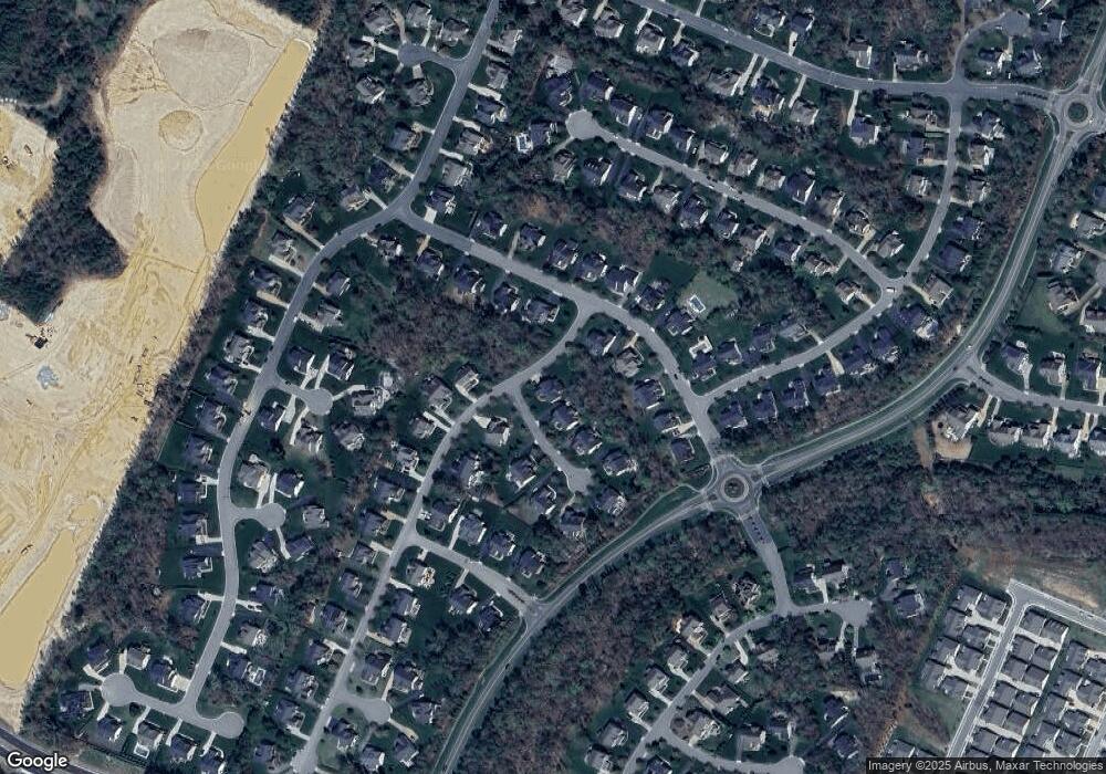
Map
Nearby Homes
- 16213 Heartquake Trace
- 6712 Winters Prey Trail
- 16417 Creekstone Point Ave
- 16415 Creekstone Point Ave
- 16413 Creekstone Point Ave
- 16411 Creekstone Point Ave
- 6718 Fieldtan Trail
- 16407 Creekstone Point Ave
- 16416 Creekstone Point Ave
- 16403 Creekstone Point Ave
- 16309 Creekstone Point Ave
- 6719 Mayland Ridge Lane;
- 6701 Blue Iris Ln
- 6717 Mayland Ridge Ln
- 6715 Mayland Ridge Ln
- 6615 Mayland Ridge Lane;
- 6713 Mayland Ridge Lane;
- 6617 Mayland Ridge Lane;
- 6703 Blue Iris Ln
- 16400 Orchard Tavern Place
- 16318 Falconers Terrace
- 6701 Winters Prey Trail
- 16313 Heartquake Trace
- 16324 Falconers Terrace
- 6700 Winters Prey Trail
- 16312 Falconers Terrace
- 6601 Winters Prey Trail
- 16307 Heartquake Trace
- 6600 Winters Prey Trail
- 16301 Heartquake Trace
- 16313 Falconers Terrace
- 16413 Heartquake Trace
- 16306 Falconers Terrace
- 16307 Falconers Terrace
- 6713 Winters Prey Trail
- 6706 Winters Prey Trail
- 16419 Heartquake Trace
- 16300 Falconers Terrace
- 16400 Heartquake Trace
- 16318 Heartquake Trace