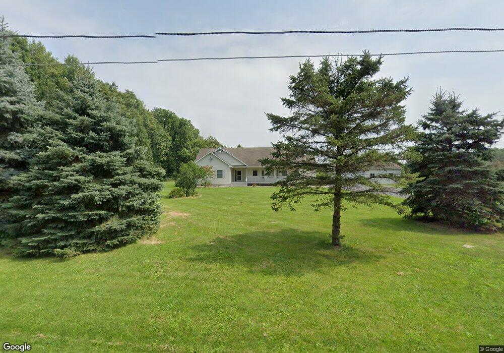
66075 41 1/2 St Paw Paw, MI 49079
Estimated Value: $305,000 - $438,000
--
Bed
1
Bath
1,699
Sq Ft
$213/Sq Ft
Est. Value
About This Home
This home is located at 66075 41 1/2 St, Paw Paw, MI 49079 and is currently estimated at $362,415, approximately $213 per square foot. 66075 41 1/2 St is a home located in Van Buren County with nearby schools including Paw Paw Early Elementary School, Paw Paw Later Elementary School, and Paw Paw Middle School.
Ownership History
Date
Name
Owned For
Owner Type
Purchase Details
Closed on
Nov 26, 2024
Sold by
Farrell John Robert and Farrell Kumiko Takahashi
Bought by
John And Kumiko Farrell Revocable Trust
Current Estimated Value
Purchase Details
Closed on
May 16, 2003
Sold by
Waller Alan E and Waller Lori J
Bought by
Farrell John R and Farrell Kumiko
Purchase Details
Closed on
Sep 21, 1999
Sold by
Mihelich David C and Mihelich Diane E
Bought by
Waller Alan and Waller Lori
Create a Home Valuation Report for This Property
The Home Valuation Report is an in-depth analysis detailing your home's value as well as a comparison with similar homes in the area
Home Values in the Area
Average Home Value in this Area
Purchase History
| Date | Buyer | Sale Price | Title Company |
|---|---|---|---|
| John And Kumiko Farrell Revocable Trust | -- | None Listed On Document | |
| John And Kumiko Farrell Revocable Trust | -- | None Listed On Document | |
| Farrell John R | $173,000 | -- | |
| Waller Alan | $43,000 | -- |
Source: Public Records
Tax History Compared to Growth
Tax History
| Year | Tax Paid | Tax Assessment Tax Assessment Total Assessment is a certain percentage of the fair market value that is determined by local assessors to be the total taxable value of land and additions on the property. | Land | Improvement |
|---|---|---|---|---|
| 2025 | $1,003 | $185,300 | $0 | $0 |
| 2024 | $1,003 | $158,600 | $0 | $0 |
| 2023 | $956 | $138,600 | $0 | $0 |
| 2022 | $3,019 | $124,800 | $0 | $0 |
| 2021 | $2,927 | $121,800 | $12,000 | $109,800 |
| 2020 | $2,744 | $124,000 | $12,000 | $112,000 |
| 2019 | $2,603 | $114,100 | $114,100 | $0 |
| 2018 | $2,542 | $104,400 | $104,400 | $0 |
| 2017 | $2,471 | $76,700 | $0 | $0 |
| 2016 | $2,455 | $79,500 | $0 | $0 |
| 2015 | $2,383 | $79,500 | $0 | $0 |
| 2014 | $2,360 | $79,699 | $0 | $0 |
| 2013 | -- | $79,400 | $79,400 | $0 |
Source: Public Records
Map
Nearby Homes
- 43618 Carla Dr
- 43834 Eagle Lake Dr
- 0 70th Ave
- 0 Palmer Dr
- 38126 72nd Ave Unit b
- 38126 72nd Ave
- 58356 Cr 671
- 44850 Woodman Dr
- 73541 39th St
- 60846 N Lakeshore Dr
- 77199 M-51
- 37111 Paw Rd
- 1 Kasper Dr
- 35499 County Road 358
- 44702 B 56th Ave
- 58797 Territorial Rd
- 38347 County Road 374
- 600 W Michigan Ave
- Parcel A Territorial Rd
- 1 Cr 665
- 41529 Paw Paw Rd
- 41529 Paw Rd
- 66283 41 1/2 St
- 66040 41 1/2 St
- 66040 41 1 2 St
- 66294 41 1/2 St
- 66294 41 1 2 St
- 66495 41 1/2 St
- 41504 Paw Paw Rd
- 41646 Paw Paw Rd
- 41646 Paw Rd
- 66540 41 1/2 St
- 41688 Paw Paw Rd
- 41497 Paw Paw Rd
- 66639 41 1/2 St
- 41709 Paw Paw Rd
- 41709 Paw Paw Rd
- 41726 Paw Paw Rd
- 41726 Paw Rd
- 41778 Paw Paw Rd