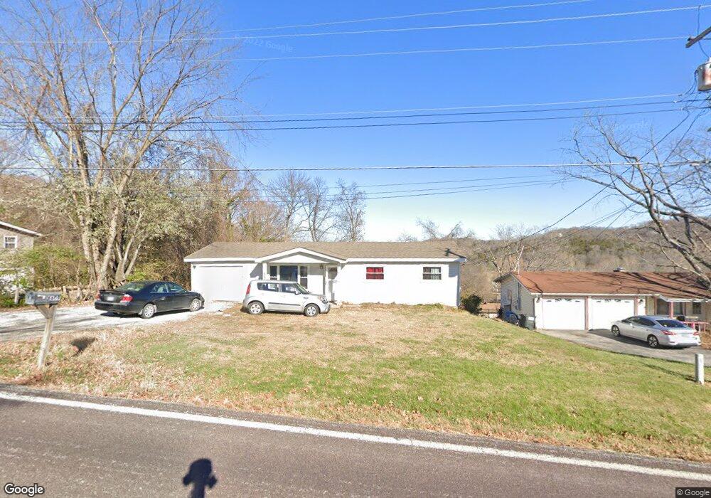
6609 Highway Pp High Ridge, MO 63049
Estimated Value: $166,000 - $240,000
--
Bed
--
Bath
960
Sq Ft
$206/Sq Ft
Est. Value
About This Home
This home is located at 6609 Highway Pp, High Ridge, MO 63049 and is currently estimated at $197,833, approximately $206 per square foot. 6609 Highway Pp is a home located in Jefferson County with nearby schools including Northwest High School and St. Anthony School.
Ownership History
Date
Name
Owned For
Owner Type
Purchase Details
Closed on
Dec 5, 2025
Sold by
Waldrop Chad
Bought by
Stotts Autumn M
Current Estimated Value
Home Financials for this Owner
Home Financials are based on the most recent Mortgage that was taken out on this home.
Original Mortgage
$82,450
Outstanding Balance
$82,450
Interest Rate
6.19%
Mortgage Type
New Conventional
Estimated Equity
$115,383
Purchase Details
Closed on
Dec 7, 2006
Sold by
Mortgage One Corp
Bought by
Waldrop Chad
Home Financials for this Owner
Home Financials are based on the most recent Mortgage that was taken out on this home.
Original Mortgage
$89,000
Interest Rate
8.75%
Mortgage Type
Purchase Money Mortgage
Purchase Details
Closed on
May 1, 2006
Sold by
Ross Kris A and Ross Danita L
Bought by
Mortgage One Corp and Hfc Mortgage Corp
Create a Home Valuation Report for This Property
The Home Valuation Report is an in-depth analysis detailing your home's value as well as a comparison with similar homes in the area
Home Values in the Area
Average Home Value in this Area
Purchase History
| Date | Buyer | Sale Price | Title Company |
|---|---|---|---|
| Stotts Autumn M | -- | Absolute Title | |
| Waldrop Chad | -- | Ust | |
| Mortgage One Corp | $110,962 | Fa |
Source: Public Records
Mortgage History
| Date | Status | Borrower | Loan Amount |
|---|---|---|---|
| Open | Stotts Autumn M | $82,450 | |
| Previous Owner | Waldrop Chad | $89,000 |
Source: Public Records
Tax History Compared to Growth
Tax History
| Year | Tax Paid | Tax Assessment Tax Assessment Total Assessment is a certain percentage of the fair market value that is determined by local assessors to be the total taxable value of land and additions on the property. | Land | Improvement |
|---|---|---|---|---|
| 2025 | $1,061 | $15,400 | $1,900 | $13,500 |
| 2024 | $1,061 | $14,700 | $1,900 | $12,800 |
| 2023 | $1,061 | $14,700 | $1,900 | $12,800 |
| 2022 | $1,057 | $14,700 | $1,900 | $12,800 |
| 2021 | $1,050 | $14,700 | $1,900 | $12,800 |
| 2020 | $959 | $13,100 | $1,600 | $11,500 |
| 2019 | $957 | $13,100 | $1,600 | $11,500 |
| 2018 | $970 | $13,100 | $1,600 | $11,500 |
| 2017 | $887 | $13,100 | $1,600 | $11,500 |
| 2016 | $799 | $11,700 | $1,500 | $10,200 |
| 2015 | $821 | $11,700 | $1,500 | $10,200 |
| 2013 | -- | $11,500 | $1,500 | $10,000 |
Source: Public Records
Map
Nearby Homes
- 2864 Patti Ln
- 45 Rd
- 6752 Walnut Valley Dr
- 3 & 5 Broken Arrow Ct
- 6 Broken Arrow Ct
- 3279 Echo Lake Dr
- 7000 Twin River Rd
- 6152 Franks Rd
- 3303 Byrnes Mill Rd
- 0 High Ridge Manor Resub Lot 6 Unit MIS25049757
- 0 High Ridge Manor Resub Lot 7 Unit MAR25011806
- 0 High Ridge Manor Resub Lot 6 Unit MIS25065011
- 5800 5800 St Rd Pp
- 2516 Ridgeview Dr
- 0 Old Gravois Rd
- 3725 Laura Ct
- 2715 Royal Oak Dr
- 2460 Huntress Hill Ln
- 302 Anthony Cir
- 6302 Upper Byrnes Mill Rd
- 6605 Highway Pp
- 6609 Missouri Pp
- 6613 Missouri Pp
- 6613 Highway Pp
- 6545 Highway Pp
- 6544 Highway Pp
- 3004 Shady Ln
- 2869 Patti Ln
- 2875 Patti Ln
- 3013 Shady Ln
- 3012 Shady Ln
- 2881 Patti Ln
- 2885 Patti Ln
- 6541 Highway Pp
- 6536 Highway Pp
- 2857 Patti Ln
- 6537 State Road Pp
- 6537 Highway Pp
- 6537 Missouri Pp
- 2870 Patti Ln