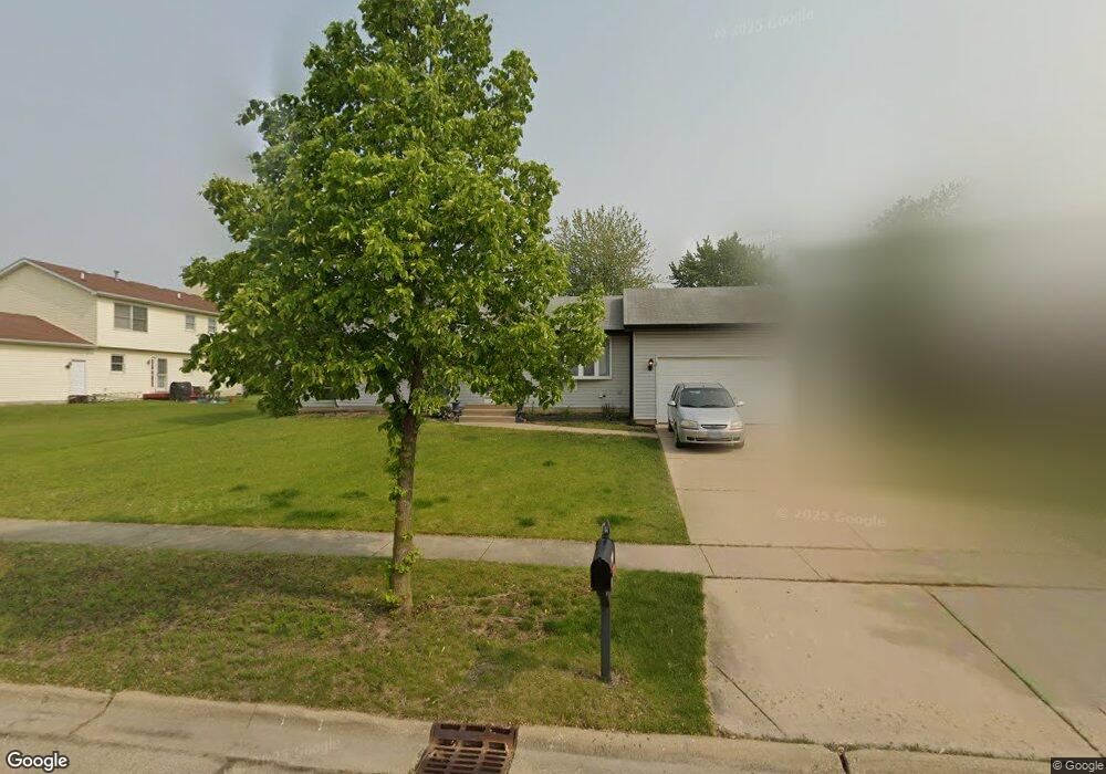
6609 Langsford Ln Plainfield, IL 60586
Fall Creek NeighborhoodEstimated Value: $306,950 - $358,000
Studio
--
Bath
1,720
Sq Ft
$193/Sq Ft
Est. Value
About This Home
This home is located at 6609 Langsford Ln, Plainfield, IL 60586 and is currently estimated at $332,488, approximately $193 per square foot. 6609 Langsford Ln is a home located in Will County with nearby schools including Meadow View Elementary School, Aux Sable Middle School, and Plainfield South High School.
Ownership History
Date
Name
Owned For
Owner Type
Purchase Details
Closed on
Feb 2, 2024
Sold by
Sheriff Of Will County
Bought by
Federal Home Loan Mtg Corp and Abn Amro Mortgage Group Inc
Current Estimated Value
Purchase Details
Closed on
May 20, 2022
Sold by
Sheriff Of Will County
Bought by
Federal Home Loan Mortgage Corporation and Abn Amro Mortgage Group Inc
Create a Home Valuation Report for This Property
The Home Valuation Report is an in-depth analysis detailing your home's value as well as a comparison with similar homes in the area
Home Values in the Area
Average Home Value in this Area
Purchase History
| Date | Buyer | Sale Price | Title Company |
|---|---|---|---|
| Federal Home Loan Mtg Corp | -- | None Listed On Document | |
| Federal Home Loan Mortgage Corporation | -- | -- |
Source: Public Records
Tax History
| Year | Tax Paid | Tax Assessment Tax Assessment Total Assessment is a certain percentage of the fair market value that is determined by local assessors to be the total taxable value of land and additions on the property. | Land | Improvement |
|---|---|---|---|---|
| 2024 | $6,677 | $92,983 | $21,940 | $71,043 |
| 2023 | $6,677 | $83,981 | $19,816 | $64,165 |
| 2022 | $5,059 | $75,426 | $17,797 | $57,629 |
| 2021 | $4,556 | $67,927 | $16,633 | $51,294 |
| 2020 | $4,471 | $66,000 | $16,161 | $49,839 |
| 2019 | $4,288 | $62,887 | $15,399 | $47,488 |
| 2018 | $4,068 | $59,087 | $14,469 | $44,618 |
| 2017 | $3,916 | $56,150 | $13,750 | $42,400 |
| 2016 | $3,807 | $53,553 | $13,114 | $40,439 |
| 2015 | $3,488 | $50,167 | $12,285 | $37,882 |
| 2014 | $3,488 | $48,395 | $11,851 | $36,544 |
| 2013 | $3,488 | $48,395 | $11,851 | $36,544 |
Source: Public Records
Map
Nearby Homes
- 6605 Langsford Ln
- 2509 Ruth Fitzgerald Dr
- 0001 S State Route 59
- 0002 S State Route 59
- 6510 Jack Rogers Ln
- 2508 Falls Ct
- 3007 Art Schultz Dr
- 25446 W Ryan Ln
- 25602 W Cerena Cir
- 16954 Lucas Dr
- 25424 W Ashton Dr
- 6930 Creekside Dr
- 7013 Manchester Dr
- 2115 Stafford Ct Unit 3
- 2126 Ingersoll Ct
- 6701 Buchanan Cir
- 6703 Buchanan Cir
- 6707 Buchanan Cir
- 6709 Buchanan Cir
- 1810 Legacy Pointe Blvd
- 6607 Langsford Ln Unit 20
- 2702 Joe Adler Dr
- 2704 Joe Adler Dr
- 6608 Paul Briese Ct Unit 20
- 6607 Paul Briese Ct Unit 20
- 2706 Joe Adler Dr
- 6612 Langsford Ln
- 6610 Langsford Ln
- 6606 Paul Briese Ct Unit 20
- 6608 Langsford Ln
- 6603 Langsford Ln
- 2708 Joe Adler Dr
- 2701 Joe Adler Dr Unit 20
- 2703 Joe Adler Dr Unit 20
- 6605 Paul Briese Ct Unit 20
- 6606 Langsford Ln Unit 20
- 6604 Paul Briese Ct Unit 20
- 2705 Joe Adler Dr
- 6611 Neilis Dr
- 2621 Joe Adler Dr
Your Personal Tour Guide
Ask me questions while you tour the home.