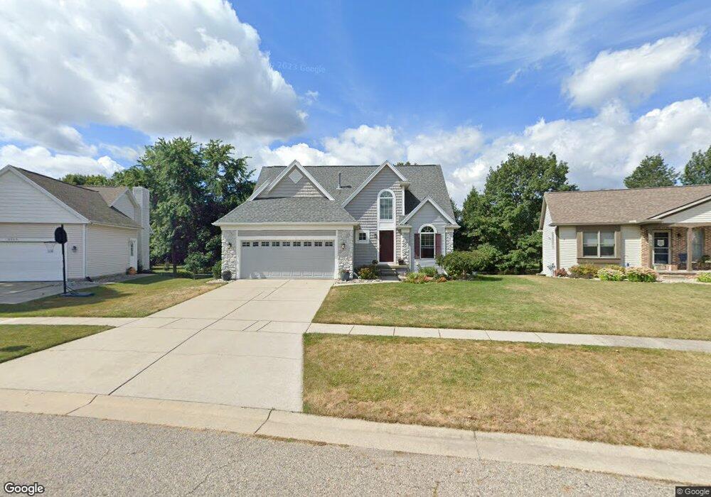
6609 Windsong Way Lansing, MI 48917
Estimated Value: $353,000 - $395,000
4
Beds
4
Baths
2,890
Sq Ft
$130/Sq Ft
Est. Value
About This Home
This home is located at 6609 Windsong Way, Lansing, MI 48917 and is currently estimated at $376,155, approximately $130 per square foot. 6609 Windsong Way is a home located in Eaton County with nearby schools including Willow Ridge Elementary School, Leon W. Hayes Middle School, and Grand Ledge High School.
Ownership History
Date
Name
Owned For
Owner Type
Purchase Details
Closed on
Apr 28, 2010
Sold by
The Berens Family Trust
Bought by
Kacynski Walter
Current Estimated Value
Home Financials for this Owner
Home Financials are based on the most recent Mortgage that was taken out on this home.
Original Mortgage
$151,920
Outstanding Balance
$101,826
Interest Rate
5.05%
Mortgage Type
Purchase Money Mortgage
Estimated Equity
$274,329
Purchase Details
Closed on
Nov 23, 2005
Sold by
Berens Marlene Marie and Berens Steve Marlin
Bought by
Berens Family Trust
Purchase Details
Closed on
Oct 12, 2005
Sold by
Seymour Marlene Marie and Berens Marlene Marie
Bought by
Berens Marlene Marie and Berens Steve Marlin
Create a Home Valuation Report for This Property
The Home Valuation Report is an in-depth analysis detailing your home's value as well as a comparison with similar homes in the area
Home Values in the Area
Average Home Value in this Area
Purchase History
| Date | Buyer | Sale Price | Title Company |
|---|---|---|---|
| Kacynski Walter | $189,900 | None Available | |
| Berens Family Trust | -- | -- | |
| Berens Marlene Marie | -- | -- |
Source: Public Records
Mortgage History
| Date | Status | Borrower | Loan Amount |
|---|---|---|---|
| Open | Kacynski Walter | $151,920 |
Source: Public Records
Tax History Compared to Growth
Tax History
| Year | Tax Paid | Tax Assessment Tax Assessment Total Assessment is a certain percentage of the fair market value that is determined by local assessors to be the total taxable value of land and additions on the property. | Land | Improvement |
|---|---|---|---|---|
| 2025 | $4,898 | $187,900 | $0 | $0 |
| 2024 | $2,507 | $173,200 | $0 | $0 |
| 2023 | $2,336 | $154,000 | $0 | $0 |
| 2022 | $4,129 | $145,500 | $0 | $0 |
| 2021 | $3,938 | $133,700 | $0 | $0 |
| 2020 | $3,885 | $125,600 | $0 | $0 |
| 2019 | $3,827 | $118,880 | $0 | $0 |
| 2018 | $3,589 | $117,100 | $0 | $0 |
| 2017 | $3,511 | $109,500 | $0 | $0 |
| 2016 | -- | $103,600 | $0 | $0 |
| 2015 | -- | $98,500 | $0 | $0 |
| 2014 | -- | $95,605 | $0 | $0 |
| 2013 | -- | $94,100 | $0 | $0 |
Source: Public Records
Map
Nearby Homes
- 6531 Windsong Way
- 1108 Summergreen Ln Unit 103
- 6512 Spring Tree Ln Unit 14
- 6542 Brook Trail
- 1120 Rolling Green Ln
- 6725 French Creek Dr
- 1205 Woodmeadow Unit 201
- 1106 S Ridge Rd
- 1527 Lindy Dr
- 5910 Cabrena Dr
- 1738 Willow Creek Dr Unit 63
- 6361 Larocque Cir
- 6333 Larocque Cir
- 1909 Redbud Ln Unit 3
- 7757 Taragreen Dr
- 6036 Madeira Dr Unit 100
- 7754 Madrid Dr
- 0 Lot B Willow
- 6025 Madeira Dr Unit 111
- 229 Williamsburg Rd
- 6615 Windsong Way
- 6603 Windsong Way
- 6621 Windsong Way
- 6606 Windsong Way
- 6549 Windsong Way
- 6612 Windsong Way
- 6629 Windsong Way
- 1104 Brookside Dr
- 1108 Brookside Dr Unit 54
- 1110 Brookside Dr
- 1026 Brookside Dr Unit 56
- 1026 Brookside Dr
- 6546 Windsong Way
- 1116 Brookside Dr
- 1024 Brookside Dr
- 6622 Windsong Way
- 6543 Windsong Way
- 1118 Brookside Dr
- 1018 Brookside Dr
- 1020 Brookside Dr