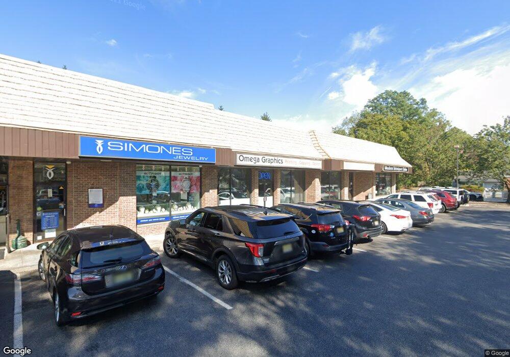
661 Broad St Unit 2 Shrewsbury, NJ 07702
Estimated Value: $2,556,914
--
Bed
--
Bath
900
Sq Ft
$2,841/Sq Ft
Est. Value
About This Home
This home is located at 661 Broad St Unit 2, Shrewsbury, NJ 07702 and is currently estimated at $2,556,914, approximately $2,841 per square foot. 661 Broad St Unit 2 is a home located in Monmouth County with nearby schools including Shrewsbury Elementary School, Red Bank Reg High School, and Red Bank Charter School.
Ownership History
Date
Name
Owned For
Owner Type
Purchase Details
Closed on
Mar 28, 2020
Sold by
Sycamore Square Llc
Bought by
530 Prospect Utile Silver Llc
Current Estimated Value
Purchase Details
Closed on
Dec 21, 2009
Sold by
Sycamore Square Corporation
Bought by
Sycamore Square Llc
Purchase Details
Closed on
Dec 18, 1997
Sold by
Starbare
Bought by
Sycamore Square Corp
Create a Home Valuation Report for This Property
The Home Valuation Report is an in-depth analysis detailing your home's value as well as a comparison with similar homes in the area
Home Values in the Area
Average Home Value in this Area
Purchase History
| Date | Buyer | Sale Price | Title Company |
|---|---|---|---|
| 530 Prospect Utile Silver Llc | $1,520,000 | Coastal Title Agency | |
| Sycamore Square Llc | -- | None Available | |
| Sycamore Square Corp | $765,000 | -- |
Source: Public Records
Tax History Compared to Growth
Tax History
| Year | Tax Paid | Tax Assessment Tax Assessment Total Assessment is a certain percentage of the fair market value that is determined by local assessors to be the total taxable value of land and additions on the property. | Land | Improvement |
|---|---|---|---|---|
| 2025 | $30,025 | $1,768,800 | $778,400 | $990,400 |
| 2024 | $29,424 | $1,638,900 | $848,500 | $790,400 |
| 2023 | $29,424 | $1,561,800 | $771,400 | $790,400 |
| 2022 | $27,688 | $1,305,400 | $771,400 | $534,000 |
| 2021 | $27,688 | $1,305,400 | $771,400 | $534,000 |
| 2020 | $27,714 | $1,305,400 | $771,400 | $534,000 |
| 2019 | $27,452 | $1,279,800 | $771,400 | $508,400 |
| 2018 | $27,529 | $1,279,800 | $771,400 | $508,400 |
| 2017 | $25,720 | $1,204,100 | $740,700 | $463,400 |
| 2016 | $25,086 | $1,188,900 | $725,500 | $463,400 |
| 2015 | $25,568 | $1,175,000 | $711,600 | $463,400 |
| 2014 | $31,560 | $1,389,700 | $742,500 | $647,200 |
Source: Public Records
Map
Nearby Homes
- 21 Buttonwood Dr
- 109 Robinson Place
- 82 Patterson Ave
- 450 Sycamore Ave
- 104 Garden Rd
- 459 Sycamore Ave
- 132 Trafford St
- 5 Lisa Ct
- 1 George St
- 308 Princeton Ct
- 26 Pinckney Rd Unit C
- 31 Peach St
- 137 E Bergen Place
- 199 Pinckney Rd
- 36 Maple Ave
- 54 Steven Ave
- 253 Pearl St S
- 19 Sunset Ave E
- 232 S Pearl St
- 32 Woodbine Ave
- 661 Broad St Unit 4
- 661 Broad St
- 655 Broad St
- 16 White St
- 685 Broad St
- 20 White St
- 24 White St
- 678 Broad St
- 691 Broad St
- 31 White St
- 30 White St
- 697 Broad St Unit G2
- 697 Broad St Unit G1
- 688 Broad St Unit A
- 688 Broad St Unit B
- 688 Broad St
- 688 Broad St
- 33 White St
- 16 Queen Ann Dr
- 703 Broad St Unit 205