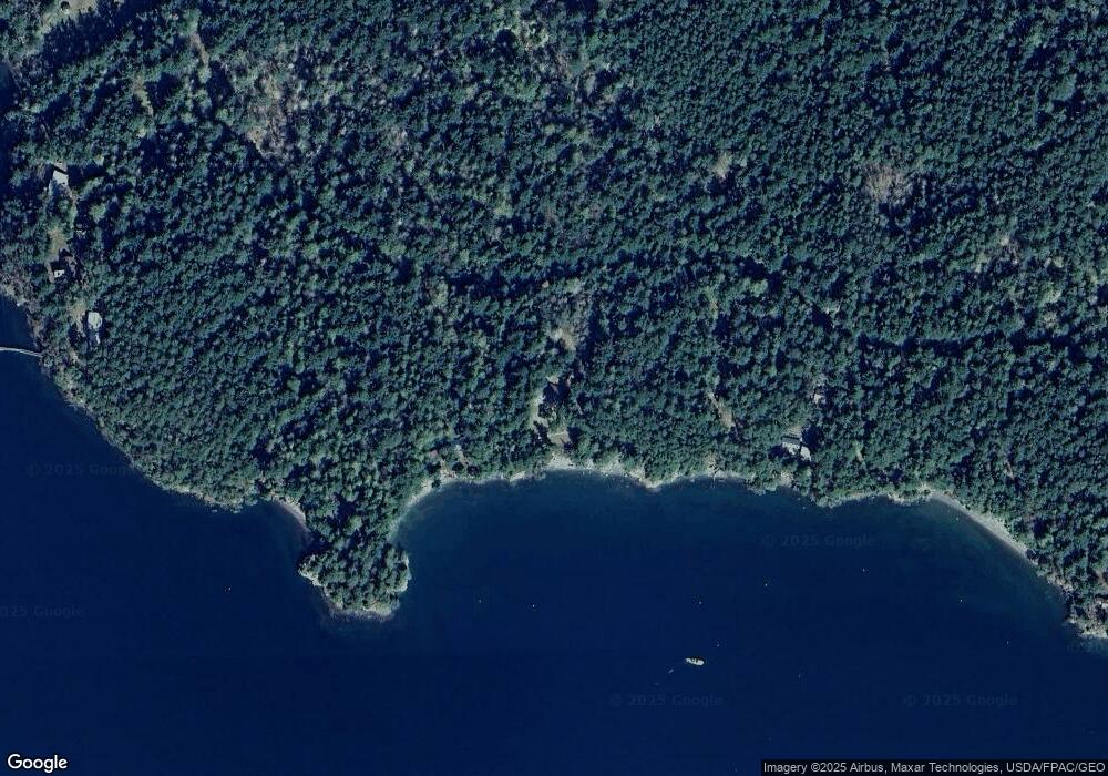
661 Circle Rd Eastsound, WA 98245
Estimated Value: $953,000 - $2,382,000
1
Bed
1
Bath
1,704
Sq Ft
$790/Sq Ft
Est. Value
About This Home
This home is located at 661 Circle Rd, Eastsound, WA 98245 and is currently estimated at $1,346,552, approximately $790 per square foot. 661 Circle Rd is a home with nearby schools including Orcas Island Elementary School, Orcas Island Middle School, and Orcas Island High School.
Ownership History
Date
Name
Owned For
Owner Type
Purchase Details
Closed on
Aug 27, 2025
Sold by
Charles And Nancy Clark Living Trust and Clark Charles R
Bought by
Rawlings Nancy S
Current Estimated Value
Purchase Details
Closed on
Jul 1, 2015
Sold by
Rawlings Nancy S and Clark Charles R
Bought by
Clark Charles and Clark Nancy
Purchase Details
Closed on
Jun 7, 2011
Sold by
Drakeley Christien L and The Clark Family Crane Island
Bought by
Rawlings Nancy S and Clark Charles R
Create a Home Valuation Report for This Property
The Home Valuation Report is an in-depth analysis detailing your home's value as well as a comparison with similar homes in the area
Purchase History
| Date | Buyer | Sale Price | Title Company |
|---|---|---|---|
| Rawlings Nancy S | -- | None Listed On Document | |
| Clark Charles | -- | None Available | |
| Rawlings Nancy S | -- | None Available |
Source: Public Records
Tax History
| Year | Tax Paid | Tax Assessment Tax Assessment Total Assessment is a certain percentage of the fair market value that is determined by local assessors to be the total taxable value of land and additions on the property. | Land | Improvement |
|---|---|---|---|---|
| 2024 | $3,586 | $849,040 | $374,400 | $474,640 |
| 2023 | $3,586 | $864,720 | $374,400 | $490,320 |
| 2022 | $3,001 | $640,930 | $288,000 | $352,930 |
| 2021 | $3,019 | $543,450 | $240,000 | $303,450 |
| 2020 | $3,102 | $524,650 | $240,000 | $284,650 |
| 2019 | $2,411 | $521,800 | $224,400 | $297,400 |
| 2018 | $2,858 | $631,960 | $409,480 | $222,480 |
| 2017 | $2,442 | $448,380 | $220,000 | $228,380 |
| 2016 | $3,112 | $444,280 | $250,000 | $194,280 |
| 2015 | $3,112 | $450,440 | $250,000 | $200,440 |
| 2014 | $3,112 | $337,710 | $239,700 | $98,010 |
| 2012 | $3,112 | $340,010 | $239,700 | $100,310 |
Source: Public Records
Map
Nearby Homes
- 0 XX Rocky Rd
- 0 Tibb's Landing Unit NWM2052312
- 1536 Neck Point Rd
- 87 Levon Ln
- 1687 1689 Spring Point Rd
- 247 Spring Point Rd
- 4282 Deer Harbor Rd
- 0 Newton Beach Rd
- 8256 Orcas Rd
- 276 Point Caution Dr
- 239 Killebrew Lake Rd
- 6 Via Rocciosa Rd
- 3521 Deer Harbor Rd
- 0 Misty Isle Dr
- 3388 Deer Harbor Rd
- 165 Duck Soup Ln
- 108 Pinneo Rd
- 30 Tin Cup Trail
- 7 Roche Harbor Shores
- 516 Mason Ct
