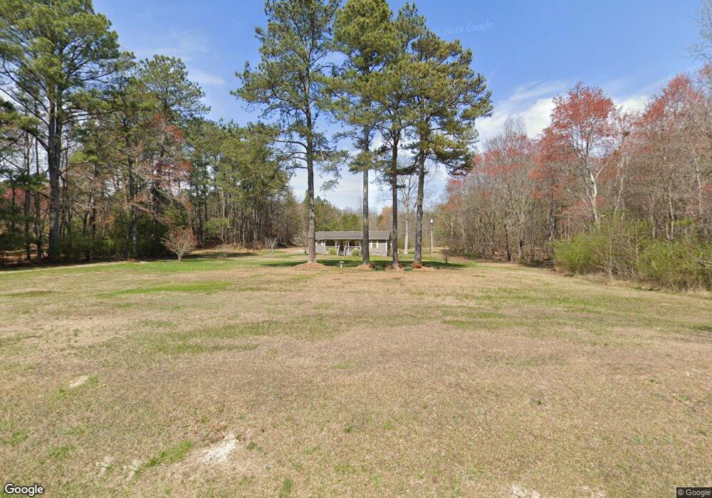
661 Cordell Rd La Fayette, GA 30728
Noble NeighborhoodEstimated Value: $220,412 - $284,000
--
Bed
2
Baths
1,152
Sq Ft
$218/Sq Ft
Est. Value
About This Home
This home is located at 661 Cordell Rd, La Fayette, GA 30728 and is currently estimated at $251,603, approximately $218 per square foot. 661 Cordell Rd is a home located in Walker County with nearby schools including Rock Spring Elementary School and Lafayette High School.
Ownership History
Date
Name
Owned For
Owner Type
Purchase Details
Closed on
May 5, 1995
Sold by
Nicholson Mike J and Nicholson Alice
Bought by
Brown Tim Mark and Ann Mcgaha
Current Estimated Value
Purchase Details
Closed on
Nov 29, 1983
Bought by
Nicholson Mike J and Nicholson Alice
Create a Home Valuation Report for This Property
The Home Valuation Report is an in-depth analysis detailing your home's value as well as a comparison with similar homes in the area
Home Values in the Area
Average Home Value in this Area
Purchase History
| Date | Buyer | Sale Price | Title Company |
|---|---|---|---|
| Brown Tim Mark | $80,000 | -- | |
| Nicholson Mike J | $3,600 | -- |
Source: Public Records
Tax History Compared to Growth
Tax History
| Year | Tax Paid | Tax Assessment Tax Assessment Total Assessment is a certain percentage of the fair market value that is determined by local assessors to be the total taxable value of land and additions on the property. | Land | Improvement |
|---|---|---|---|---|
| 2024 | $1,909 | $88,080 | $17,879 | $70,201 |
| 2023 | $1,792 | $80,729 | $14,190 | $66,539 |
| 2022 | $1,691 | $69,828 | $12,563 | $57,265 |
| 2021 | $1,370 | $50,811 | $12,563 | $38,248 |
| 2020 | $1,206 | $42,879 | $12,563 | $30,316 |
| 2019 | $1,228 | $42,879 | $12,563 | $30,316 |
| 2018 | $1,135 | $42,879 | $12,563 | $30,316 |
| 2017 | $1,347 | $42,879 | $12,563 | $30,316 |
| 2016 | $1,130 | $42,879 | $12,563 | $30,316 |
| 2015 | $979 | $34,601 | $11,244 | $23,357 |
| 2014 | $888 | $34,601 | $11,244 | $23,357 |
| 2013 | -- | $34,601 | $11,244 | $23,357 |
Source: Public Records
Map
Nearby Homes
- 1585 E Reed Rd
- 218 Golden Oaks Dr
- 1186 E Reed Rd
- 0 Clyde Byrd Rd
- 450 Arnold Ln
- 57 McGaha Rd
- 5062 Georgia 95
- 1934 Round Pond Rd
- 23 Oak Meadow Dr
- 58 Oak Run
- 106 Meadow Oak Dr
- 1314 Mcintire Rd
- 0 Georgia 95
- 63 Loughridge Ln
- 0 Tarvin Rd Unit 1523862
- 521 Wheeler Rd
- 533 Van Dell Dr
- 4544 N Highway 27
- 4582 Highway N 27
- 4654 Us Highway 27
- 595 Cordell Rd
- 542 Cordell Rd
- 472 Cordell Rd
- 539 Cordell Rd
- 842 Cordell Rd
- 451 Cordell Rd
- 448 Cordell Rd
- 494 Cordell Rd
- 21 Millsap Rd
- 1 Millsap Rd
- 2 Millsap Rd
- 6 Millsap Rd
- 6 Millsap Rd Unit TRACT
- 101 Millsap Rd
- 101 Millsap Rd
- 0 Millsap Rd Unit 1131350
- 502 Cordell Rd
- 502 Cordell Rd
- 481 Cordell Rd
- 118 Millsap Rd