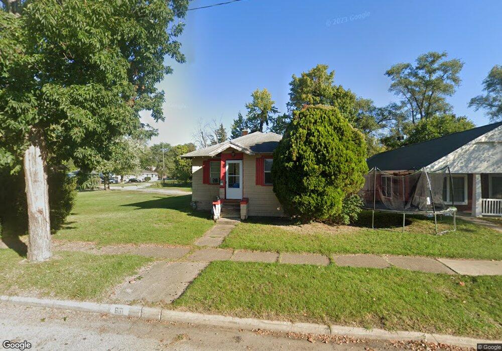
661 E Empire Ave Benton Harbor, MI 49022
Estimated Value: $91,000 - $127,000
3
Beds
1
Bath
1,800
Sq Ft
$59/Sq Ft
Est. Value
About This Home
This home is located at 661 E Empire Ave, Benton Harbor, MI 49022 and is currently estimated at $106,380, approximately $59 per square foot. 661 E Empire Ave is a home located in Berrien County with nearby schools including Fair Plain Middle School, Benton Harbor High School, and Benton Harbor Charter School Academy.
Ownership History
Date
Name
Owned For
Owner Type
Purchase Details
Closed on
Jun 27, 2019
Sold by
Bieda Stanislaw and Bieda Grazyna T
Bought by
Bieda Stanislaw and Bieda Grazyna
Current Estimated Value
Purchase Details
Closed on
Jul 18, 2005
Sold by
Bieda Stanislaw and Bieda Grazyna
Bought by
Bieda Stanislaw and Bieda Grazyna
Purchase Details
Closed on
Apr 30, 1996
Purchase Details
Closed on
Jan 15, 1994
Create a Home Valuation Report for This Property
The Home Valuation Report is an in-depth analysis detailing your home's value as well as a comparison with similar homes in the area
Home Values in the Area
Average Home Value in this Area
Purchase History
| Date | Buyer | Sale Price | Title Company |
|---|---|---|---|
| Bieda Stanislaw | -- | None Available | |
| Bieda Stanislaw | -- | -- | |
| -- | $24,000 | -- | |
| -- | $24,000 | -- |
Source: Public Records
Tax History
| Year | Tax Paid | Tax Assessment Tax Assessment Total Assessment is a certain percentage of the fair market value that is determined by local assessors to be the total taxable value of land and additions on the property. | Land | Improvement |
|---|---|---|---|---|
| 2025 | $640 | $34,000 | $0 | $0 |
| 2024 | $585 | $30,000 | $0 | $0 |
| 2023 | $468 | $21,000 | $0 | $0 |
| 2022 | $531 | $15,500 | $0 | $0 |
| 2021 | $535 | $15,400 | $800 | $14,600 |
| 2020 | $528 | $15,700 | $0 | $0 |
| 2019 | $519 | $13,900 | $0 | $0 |
| 2018 | $507 | $14,500 | $0 | $0 |
| 2017 | $574 | $19,400 | $0 | $0 |
| 2016 | $2,122 | $19,600 | $0 | $0 |
| 2015 | $538 | $7,800 | $0 | $0 |
| 2014 | $530 | $9,500 | $0 | $0 |
Source: Public Records
Map
Nearby Homes
- 669 E Empire Ave
- 675 E Empire Ave
- 654 Baird St
- 666 Baird St
- 687 E Empire Ave
- 880 Bishop Ave
- 658 E Empire Ave
- 668 E Empire Ave
- 652 E Empire Ave
- 627 E Empire Ave
- 860 Bishop Ave
- 680 E Empire Ave
- 672 E Empire Ave
- 634 E Empire Ave
- 619 E Empire Ave
- 690 E Empire Ave
- 657 Baird St
- 651 Baird St
- 626 E Empire Ave
- 920 Bishop Ave
Your Personal Tour Guide
Ask me questions while you tour the home.