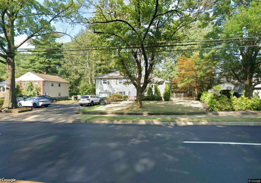
661 Forest Ave Paramus, NJ 07652
Estimated Value: $672,000 - $786,814
Studio
--
Bath
1,456
Sq Ft
$508/Sq Ft
Est. Value
About This Home
This home is located at 661 Forest Ave, Paramus, NJ 07652 and is currently estimated at $738,954, approximately $507 per square foot. 661 Forest Ave is a home located in Bergen County with nearby schools including Paramus High School and Bergen Catholic High School.
Ownership History
Date
Name
Owned For
Owner Type
Purchase Details
Closed on
Jun 24, 2013
Sold by
Touma Albert and Touma Ralda
Bought by
Touma Ralda
Current Estimated Value
Purchase Details
Closed on
Sep 28, 1999
Sold by
Browne Michael and Browne Debra A
Bought by
Touma Albert and Touma Ralda
Home Financials for this Owner
Home Financials are based on the most recent Mortgage that was taken out on this home.
Original Mortgage
$199,500
Interest Rate
7.37%
Mortgage Type
Stand Alone First
Create a Home Valuation Report for This Property
The Home Valuation Report is an in-depth analysis detailing your home's value as well as a comparison with similar homes in the area
Home Values in the Area
Average Home Value in this Area
Purchase History
| Date | Buyer | Sale Price | Title Company |
|---|---|---|---|
| Touma Ralda | -- | -- | |
| Touma Albert | $285,000 | -- |
Source: Public Records
Mortgage History
| Date | Status | Borrower | Loan Amount |
|---|---|---|---|
| Previous Owner | Touma Albert | $199,500 |
Source: Public Records
Tax History
| Year | Tax Paid | Tax Assessment Tax Assessment Total Assessment is a certain percentage of the fair market value that is determined by local assessors to be the total taxable value of land and additions on the property. | Land | Improvement |
|---|---|---|---|---|
| 2025 | $7,985 | $568,200 | $331,800 | $236,400 |
| 2024 | $7,777 | $527,400 | $301,800 | $225,600 |
| 2023 | $7,395 | $507,000 | $288,800 | $218,200 |
| 2022 | $7,395 | $476,500 | $270,600 | $205,900 |
| 2021 | $7,263 | $439,100 | $249,100 | $190,000 |
| 2020 | $6,902 | $432,700 | $244,800 | $187,900 |
| 2019 | $7,263 | $391,300 | $258,800 | $132,500 |
| 2018 | $7,173 | $391,300 | $258,800 | $132,500 |
| 2017 | $7,047 | $391,300 | $258,800 | $132,500 |
| 2016 | $6,856 | $391,300 | $258,800 | $132,500 |
| 2015 | $6,785 | $391,300 | $258,800 | $132,500 |
| 2014 | $6,726 | $391,300 | $258,800 | $132,500 |
Source: Public Records
Map
Nearby Homes
- 319 Franklin Place
- 624 West Dr
- 623 Alberta Dr
- 492 Oaktree Rd
- 949 Oradell Ave
- 922 Wildwood Rd
- 454 E Ridgewood Ave
- 229 Standish Rd
- 6 Merrimack Ct
- 645 Cambridge Rd
- 850 Ridgewood Ave
- 13 Munsey Rd
- 672 Rutgers Place
- 537 Spring Valley Rd
- 495 Wilson Ave
- 774 Austin Ave
- 277 Columbia Terrace
- 261 Idaho St
- 461 Arthur Terrace
- 680 Soldier Hill Rd
- 657 Forest Ave
- 663 Forest Ave
- 664 Bruce Dr
- 655 Forest Ave
- 344 Spencer Place
- 667 Forest Ave
- 668 Bruce Dr
- 1066 Woodland Ave
- 670 Bruce Dr
- 651 Forest Ave
- 671 Forest Ave
- 475 Mildred Place
- 342 Spencer Place
- 1058 Woodland Ave
- 672 Bruce Dr
- 667 Bruce Dr
- 338 Spencer Place
- 481 Mildred Place
- 348 Ross Rd
- 1065 Woodland Ave
Your Personal Tour Guide
Ask me questions while you tour the home.