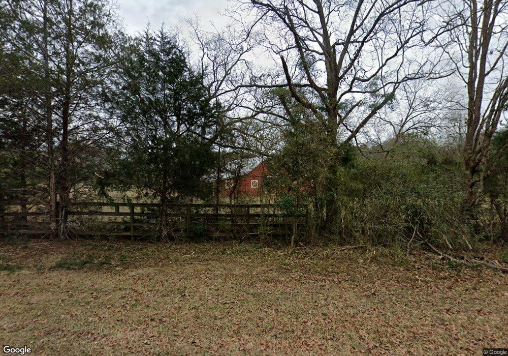
661 Garr Rd Jackson, GA 30233
Estimated Value: $231,000
Studio
2
Baths
--
Sq Ft
130
Acres
About This Home
This home is located at 661 Garr Rd, Jackson, GA 30233 and is currently estimated at $231,000. 661 Garr Rd is a home located in Monroe County with nearby schools including Katherine B. Sutton Elementary School and Mary Persons High School.
Ownership History
Date
Name
Owned For
Owner Type
Purchase Details
Closed on
Mar 4, 2016
Sold by
Bethune Land Co Llc
Bought by
Sedghi Farms Llc
Current Estimated Value
Home Financials for this Owner
Home Financials are based on the most recent Mortgage that was taken out on this home.
Original Mortgage
$320,000
Interest Rate
3.72%
Mortgage Type
Commercial
Purchase Details
Closed on
Dec 17, 2015
Sold by
Garr Road Llc
Bought by
Bethune Land Co Llc and Bethune Fam Limited Partner
Purchase Details
Closed on
Oct 27, 2014
Sold by
Dowd Roger L
Bought by
Garr Road Llc
Purchase Details
Closed on
Sep 25, 2014
Sold by
Dowd Roger L
Bought by
Garr Road Llc
Purchase Details
Closed on
Apr 3, 2007
Sold by
Not Provided
Bought by
Dowd Roger L
Home Financials for this Owner
Home Financials are based on the most recent Mortgage that was taken out on this home.
Original Mortgage
$360,000
Interest Rate
6%
Mortgage Type
New Conventional
Purchase Details
Closed on
Jul 19, 2005
Sold by
Hayden Robert Estate
Bought by
Dowd Roger L
Purchase Details
Closed on
Jan 25, 2002
Sold by
Curtis Nancy M
Bought by
Curtis Nancy M and Hayden Robert A
Create a Home Valuation Report for This Property
The Home Valuation Report is an in-depth analysis detailing your home's value as well as a comparison with similar homes in the area
Home Values in the Area
Average Home Value in this Area
Purchase History
| Date | Buyer | Sale Price | Title Company |
|---|---|---|---|
| Sedghi Farms Llc | $400,000 | -- | |
| Bethune Land Co Llc | $162,850 | -- | |
| Garr Road Llc | -- | -- | |
| Garr Road Llc | -- | -- | |
| Dowd Roger L | $450,000 | -- | |
| Dowd Roger L | -- | -- | |
| Curtis Nancy M | -- | -- |
Source: Public Records
Mortgage History
| Date | Status | Borrower | Loan Amount |
|---|---|---|---|
| Closed | Sedghi Farms Llc | $320,000 | |
| Previous Owner | Dowd Roger L | $360,000 |
Source: Public Records
Tax History
| Year | Tax Paid | Tax Assessment Tax Assessment Total Assessment is a certain percentage of the fair market value that is determined by local assessors to be the total taxable value of land and additions on the property. | Land | Improvement |
|---|---|---|---|---|
| 2025 | $897 | $71,600 | $43,400 | $28,200 |
| 2024 | $897 | $71,600 | $43,400 | $28,200 |
| 2023 | $858 | $71,600 | $43,400 | $28,200 |
| 2022 | $854 | $71,600 | $43,400 | $28,200 |
| 2021 | $882 | $71,600 | $43,400 | $28,200 |
| 2020 | $899 | $71,600 | $43,400 | $28,200 |
| 2019 | $904 | $71,600 | $43,400 | $28,200 |
| 2018 | $904 | $71,600 | $43,400 | $28,200 |
| 2017 | $2,081 | $71,600 | $43,400 | $28,200 |
| 2016 | $756 | $68,000 | $43,400 | $24,600 |
| 2015 | $714 | $68,000 | $43,400 | $24,600 |
| 2014 | $687 | $68,000 | $43,400 | $24,600 |
Source: Public Records
Map
Nearby Homes
- 0 Brownlee Rd Unit 10671220
- 738 Teagle Rd
- 0 Garr Rd Unit 10439858
- 61 Duncan Cir
- 0 Duncan Cir Unit 10662847
- 351 Homestead Circle Lot 23a Cir Unit LOT 23A
- 341 Homestead Cir Unit LOT 22A
- 95 Big Buck Trail
- 381 Homestead Cir
- 191 Big Buck Trail
- 40 Timber Dr
- 120 Homestead Cir
- 240 Riverview Rd
- Hemingway Plan at The Woodlands Preserve
- Mira II Plan at The Woodlands Preserve
- Walker Plan at The Woodlands Preserve
- Sinclair Plan at The Woodlands Preserve
- Adrian Plan at The Woodlands Preserve
- Avery Plan at The Woodlands Preserve
- Shiloh Plan at The Woodlands Preserve