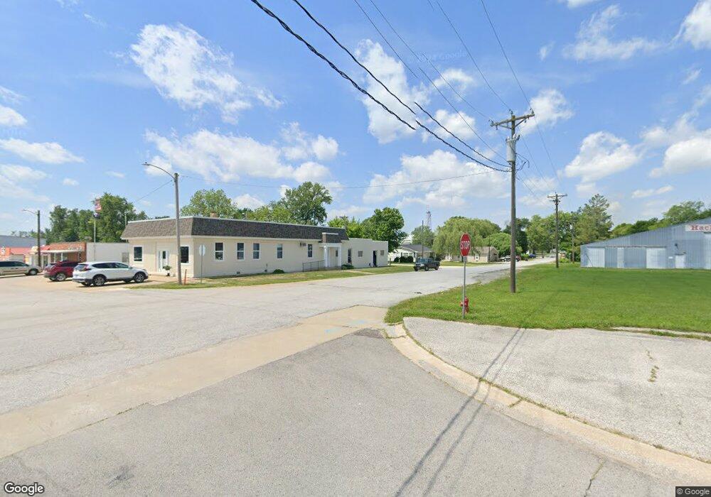
661 Highway A Hawk Point, MO 63349
Estimated Value: $124,000 - $240,000
2
Beds
1
Bath
1,026
Sq Ft
$202/Sq Ft
Est. Value
About This Home
This home is located at 661 Highway A, Hawk Point, MO 63349 and is currently estimated at $207,599, approximately $202 per square foot. 661 Highway A is a home located in Lincoln County with nearby schools including Hawk Point Elementary School, Troy Middle School, and Troy Buchanan High School.
Create a Home Valuation Report for This Property
The Home Valuation Report is an in-depth analysis detailing your home's value as well as a comparison with similar homes in the area
Tax History
| Year | Tax Paid | Tax Assessment Tax Assessment Total Assessment is a certain percentage of the fair market value that is determined by local assessors to be the total taxable value of land and additions on the property. | Land | Improvement |
|---|---|---|---|---|
| 2025 | $1,158 | $19,127 | $4,066 | $15,061 |
| 2024 | $1,119 | $18,136 | $3,800 | $14,336 |
| 2023 | $1,113 | $18,136 | $3,800 | $14,336 |
| 2022 | $1,064 | $17,459 | $3,800 | $13,659 |
| 2021 | $1,070 | $91,890 | $0 | $0 |
| 2020 | $943 | $82,450 | $0 | $0 |
| 2019 | $945 | $82,450 | $0 | $0 |
| 2018 | $895 | $14,649 | $0 | $0 |
| 2017 | $898 | $14,649 | $0 | $0 |
| 2016 | $796 | $12,734 | $0 | $0 |
| 2015 | $799 | $12,734 | $0 | $0 |
| 2014 | $809 | $12,873 | $0 | $0 |
| 2013 | -- | $12,968 | $0 | $0 |
Source: Public Records
Map
Nearby Homes
- 25 Turkey Run Dr
- 4 Ashley Ln
- 339 White Rd
- 804 Timber Creek Ct
- 41 Parc Forest Trail
- 401 Deep Forest Dr
- 113 Bridlespur Ct
- 64 Mocking Bird Ln
- 39298 Winter St
- 8 Summers Breeze Ct
- 6.09 State Highway A
- 2 Country Ridge Trail
- 209 Main St
- 211 Main St
- 38569 Canelos Farm Rd
- 0 Cedar Circle Ln Unit MIS25071955
- 38520 Pin Oak Church Rd
- 45 Blue Line Ln
- 100 Otto Ct
- 106 Otto Ct
Your Personal Tour Guide
Ask me questions while you tour the home.