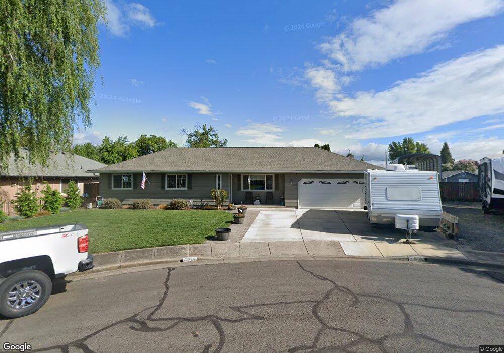
661 Prairie Rd Central Point, OR 97502
Estimated Value: $376,000 - $395,000
3
Beds
2
Baths
1,449
Sq Ft
$265/Sq Ft
Est. Value
About This Home
This home is located at 661 Prairie Rd, Central Point, OR 97502 and is currently estimated at $383,778, approximately $264 per square foot. 661 Prairie Rd is a home located in Jackson County with nearby schools including Central Point Elementary School, Scenic Middle School, and Crater High School.
Ownership History
Date
Name
Owned For
Owner Type
Purchase Details
Closed on
Aug 27, 2024
Sold by
Wicks Family Revocable Living Trust and Wicks Kenneth Wayne
Bought by
Eric Matthew Kiertzner Living Trust and Kiertzner
Current Estimated Value
Purchase Details
Closed on
Feb 19, 2020
Sold by
Wicks Kenneth and Wicks Karin
Bought by
Wicks Kenneth Wayne and Wicks Karin Kay
Create a Home Valuation Report for This Property
The Home Valuation Report is an in-depth analysis detailing your home's value as well as a comparison with similar homes in the area
Purchase History
| Date | Buyer | Sale Price | Title Company |
|---|---|---|---|
| Eric Matthew Kiertzner Living Trust | $386,960 | Ticor Title | |
| Wicks Kenneth Wayne | -- | None Available |
Source: Public Records
Tax History
| Year | Tax Paid | Tax Assessment Tax Assessment Total Assessment is a certain percentage of the fair market value that is determined by local assessors to be the total taxable value of land and additions on the property. | Land | Improvement |
|---|---|---|---|---|
| 2026 | $3,700 | $223,560 | -- | -- |
| 2025 | $3,609 | $217,050 | $83,340 | $133,710 |
| 2024 | $3,609 | $210,730 | $80,920 | $129,810 |
| 2023 | $3,493 | $204,600 | $78,570 | $126,030 |
| 2022 | $3,411 | $204,600 | $78,570 | $126,030 |
| 2021 | $3,314 | $198,650 | $76,290 | $122,360 |
| 2020 | $3,217 | $192,870 | $74,060 | $118,810 |
| 2019 | $3,138 | $181,810 | $69,800 | $112,010 |
| 2018 | $3,042 | $176,520 | $67,770 | $108,750 |
| 2017 | $2,966 | $176,520 | $67,770 | $108,750 |
| 2016 | $2,879 | $166,390 | $63,880 | $102,510 |
| 2015 | $2,759 | $166,390 | $63,880 | $102,510 |
| 2014 | $2,689 | $156,850 | $60,210 | $96,640 |
Source: Public Records
Map
Nearby Homes
- 755 S 4th St
- 555 Freeman Rd Unit 73
- 555 Freeman Rd Unit 254
- 555 Freeman Rd Unit 105
- 555 Freeman Rd Unit 209
- 3364 Bursell Rd
- 3358 Bursell Rd
- 114 Cedar St
- 301 Freeman Rd Unit 30
- 301 Freeman Rd Unit 92
- 301 Freeman Rd Unit 91
- 887 Silver Fox Dr
- 1204 Heather Ln
- 512 Village Dr Unit B5
- 533 Brittni Ln
- 918 Brandi Way
- 350 Alder St
- 220 S 3rd St
- 1189 Lindsey Ct
- 436 Cheney Loop
- 661 Prairie Ct
- 651 Prairie Rd
- 671 Prairie Rd
- 650 Hopkins Rd
- 640 Hopkins Rd
- 660 Hopkins Rd
- 641 Prairie Rd
- 681 Prairie Rd
- 630 Hopkins Rd
- 670 Hopkins Rd Unit 3
- 662 Prairie Rd
- 654 Prairie Rd
- 674 Prairie Rd
- 631 Prairie Rd
- 712 Sandra Ln
- 662 Prairie Ct
- 722 Sandra Ln
- 631 Prairie Ct
- 620 Hopkins Rd
- 638 Prairie Rd
Your Personal Tour Guide
Ask me questions while you tour the home.