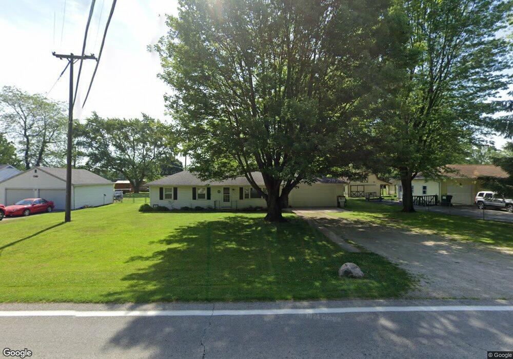
661 S State Route 19 Fremont, OH 43420
Estimated Value: $138,000 - $224,000
3
Beds
1
Bath
1,176
Sq Ft
$153/Sq Ft
Est. Value
About This Home
This home is located at 661 S State Route 19, Fremont, OH 43420 and is currently estimated at $180,223, approximately $153 per square foot. 661 S State Route 19 is a home located in Sandusky County with nearby schools including Clyde High School, Temple Christian Academy, and Sacred Heart School.
Ownership History
Date
Name
Owned For
Owner Type
Purchase Details
Closed on
Dec 8, 2020
Sold by
Reiter Lawrence S and Reiter Denise A
Bought by
Reiter Properties Llc
Current Estimated Value
Purchase Details
Closed on
Jul 7, 2008
Sold by
The Bank Of New York Trust Co
Bought by
Reiter Lawrence S
Purchase Details
Closed on
Nov 26, 2007
Sold by
Vandergriff Joshua R and Jpmorgan Chase Bank
Bought by
The Bank Of New York Trust Co
Purchase Details
Closed on
Jun 29, 2004
Sold by
Scott Linda and Estate Of Herman E Below
Bought by
Vandergriff Joshua
Home Financials for this Owner
Home Financials are based on the most recent Mortgage that was taken out on this home.
Original Mortgage
$76,000
Interest Rate
8.75%
Mortgage Type
Purchase Money Mortgage
Create a Home Valuation Report for This Property
The Home Valuation Report is an in-depth analysis detailing your home's value as well as a comparison with similar homes in the area
Home Values in the Area
Average Home Value in this Area
Purchase History
| Date | Buyer | Sale Price | Title Company |
|---|---|---|---|
| Reiter Properties Llc | -- | None Available | |
| Reiter Lawrence S | $38,625 | Sovereign Title | |
| The Bank Of New York Trust Co | $66,000 | None Available | |
| Vandergriff Joshua | $76,000 | Karn Title |
Source: Public Records
Mortgage History
| Date | Status | Borrower | Loan Amount |
|---|---|---|---|
| Previous Owner | Vandergriff Joshua | $76,000 |
Source: Public Records
Tax History Compared to Growth
Tax History
| Year | Tax Paid | Tax Assessment Tax Assessment Total Assessment is a certain percentage of the fair market value that is determined by local assessors to be the total taxable value of land and additions on the property. | Land | Improvement |
|---|---|---|---|---|
| 2024 | $1,720 | $44,800 | $6,860 | $37,940 |
| 2023 | $1,720 | $35,850 | $5,500 | $30,350 |
| 2022 | $1,504 | $35,850 | $5,500 | $30,350 |
| 2021 | $1,521 | $35,850 | $5,500 | $30,350 |
| 2020 | $1,280 | $29,160 | $5,500 | $23,660 |
| 2019 | $1,266 | $29,160 | $5,500 | $23,660 |
| 2018 | $1,226 | $29,160 | $5,500 | $23,660 |
| 2017 | $1,187 | $26,640 | $5,500 | $21,140 |
| 2016 | $1,170 | $26,640 | $5,500 | $21,140 |
| 2015 | $1,156 | $26,640 | $5,500 | $21,140 |
| 2014 | $1,204 | $26,390 | $5,460 | $20,930 |
| 2013 | $1,178 | $26,390 | $5,460 | $20,930 |
Source: Public Records
Map
Nearby Homes
- 0 Cr 214 Unit 20253055
- 2314 E Sr 20
- 1014 S County Road 198
- V/L County Road 220
- 0 County Road 220
- 2248 E State St
- 199 Saint Thomas Dr
- 474 N Co Road 204
- 251 Saint Paul Dr
- 263 Saint Paul Dr
- 1739 E State St Unit 23
- 315 Ethan Dr
- 318 Ethan Dr
- 1526 Sunrise Blvd
- 800 Lawndale Dr
- 546 Oaklawn Ave
- 131 Berkshire Dr
- 335 Cottage St
- 309 S Collinwood Blvd
- 230 N Pennsylvania Ave
- 651 S State Route 19
- 671 S State Route 19
- 681 S State Route 19
- 641 S State Route 19
- 631 S State Route 19
- 636 S State Route 19
- 688 S State Route 19
- 621 S State Route 19
- 700 S State Route 19
- 700 Ohio 19
- 614 S State Route 19
- 616 County Road 358
- 705 S State Route 19
- 706 S State Route 19
- 706 Ohio 19
- 358 Cr
- 358 Cr
- 740 County Road 212 Unit 74
- 740 County Road 212 Unit 95
- 740 County Road 212 Unit Lot 3