Estimated Value: $119,345 - $304,000
--
Bed
2
Baths
1,575
Sq Ft
$137/Sq Ft
Est. Value
About This Home
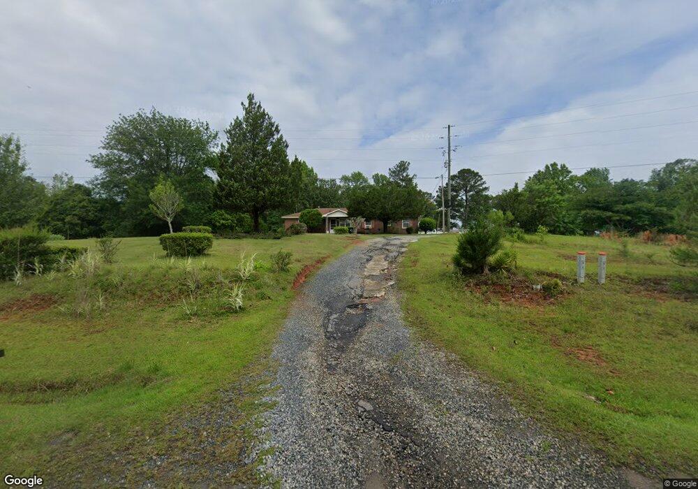
This home is located at 661 Shi Rd, Macon, GA 31220 and is currently estimated at $215,336, approximately $136 per square foot. 661 Shi Rd is a home located in Monroe County with nearby schools including T.G. Scott Elementary School, Mary Persons High School, and Monroe Academy.
Ownership History
Date
Name
Owned For
Owner Type
Purchase Details
Closed on
Jul 22, 2014
Sold by
Washington Kittie C
Bought by
Chambliss Edward
Current Estimated Value
Purchase Details
Closed on
Sep 6, 2013
Sold by
Chambliss Edward
Bought by
Washington Kittie C
Purchase Details
Closed on
Jan 2, 1970
Sold by
Hollis C D
Bought by
Chambliss Norman
Create a Home Valuation Report for This Property
The Home Valuation Report is an in-depth analysis detailing your home's value as well as a comparison with similar homes in the area
Home Values in the Area
Average Home Value in this Area
Purchase History
| Date | Buyer | Sale Price | Title Company |
|---|---|---|---|
| Chambliss Edward | -- | -- | |
| Washington Kittie C | -- | -- | |
| Chambliss Charles | -- | -- | |
| Chambliss Norman | $1,000 | -- |
Source: Public Records
Tax History Compared to Growth
Tax History
| Year | Tax Paid | Tax Assessment Tax Assessment Total Assessment is a certain percentage of the fair market value that is determined by local assessors to be the total taxable value of land and additions on the property. | Land | Improvement |
|---|---|---|---|---|
| 2024 | $852 | $30,252 | $4,040 | $26,212 |
| 2023 | $733 | $25,972 | $4,040 | $21,932 |
| 2022 | $703 | $25,972 | $4,040 | $21,932 |
| 2021 | $728 | $25,972 | $4,040 | $21,932 |
| 2020 | $746 | $25,972 | $4,040 | $21,932 |
| 2019 | $752 | $25,972 | $4,040 | $21,932 |
| 2018 | $754 | $25,972 | $4,040 | $21,932 |
| 2017 | $755 | $25,972 | $4,040 | $21,932 |
| 2016 | $718 | $25,972 | $4,040 | $21,932 |
| 2015 | $680 | $25,972 | $4,040 | $21,932 |
| 2014 | $656 | $25,972 | $4,040 | $21,932 |
Source: Public Records
Map
Nearby Homes
- 1122 Irongate
- 112 Irongate
- 8827 Estes Rd
- 8757 Estes Rd
- 8692 Estes Rd
- 0 Rogers Church Rd Unit 10643854
- 11 Fawn Dr
- Lot 15-A-2 Creekside Ln
- Lot 15-A-1 Creekside Ln
- Lot 26-A-2 Creekside Trail
- Lot 26-A-1 Creekside Trail
- Lot 27-A-1 Creekside Trail
- LOT 13 Creekside Ln
- 14 Creekside Ct
- 14 Creekside Ct
- 129 Burchwood Dr
- 106 Creekside Ct
- 409 Cambridge Ct
- 642 Shi Rd
- 681 Shi Rd
- 619 Shi Rd
- 639 Shi Rd
- 620 Shi Rd
- 600 Shi Rd
- 612 Shi Rd
- 584 Shi Rd
- 0 Moore Rd Unit 2 7016044
- 0 Moore Rd Unit 7097981
- 0 Moore Rd Unit 2 7164033
- 0 Moore Rd Unit 96301
- 0 Moore Rd Unit 88494
- 0 Moore Rd Unit 1D2 140319
- 0 Moore Rd Unit 7232081
- 0 Moore Rd Unit 1D2 8208801
- 0 Moore Rd Unit 8690191
- 0 Moore Rd Unit 1D2 M140319
- 0 Moore Rd Unit 8675068
- 14 Moore Rd