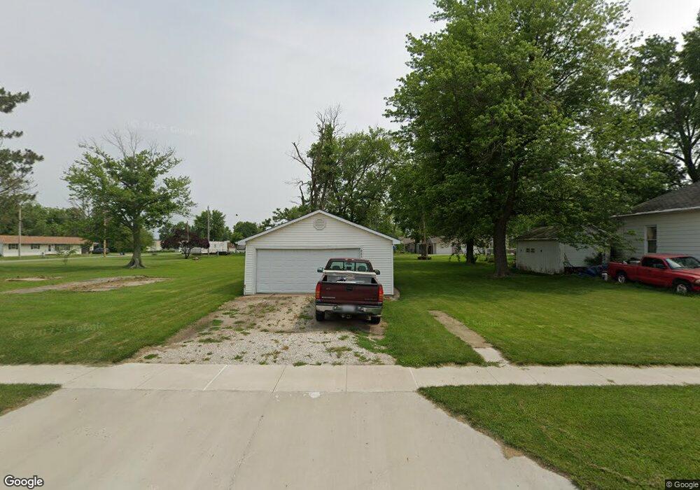
661 W Davis St Bushnell, IL 61422
Estimated Value: $25,000 - $61,000
--
Bed
--
Bath
--
Sq Ft
10,019
Sq Ft Lot
About This Home
This home is located at 661 W Davis St, Bushnell, IL 61422 and is currently estimated at $47,754. 661 W Davis St is a home located in McDonough County with nearby schools including Bushnell-Prairie City Elementary School, Bushnell-Prairie City Junior High School, and Bushnell-Prairie City High School.
Ownership History
Date
Name
Owned For
Owner Type
Purchase Details
Closed on
Dec 22, 2021
Sold by
Klinedinst Donald L and Klinedinst Debra A
Bought by
Jones Gregory A and Jones Charlotte L
Current Estimated Value
Purchase Details
Closed on
Jul 31, 2007
Sold by
Mason Brady L and Mason Toni L
Bought by
Klinedinst Donald L and Klinedinst Debra A
Purchase Details
Closed on
Mar 10, 2005
Sold by
Mason Sara J
Bought by
Mason Brady L
Create a Home Valuation Report for This Property
The Home Valuation Report is an in-depth analysis detailing your home's value as well as a comparison with similar homes in the area
Home Values in the Area
Average Home Value in this Area
Purchase History
| Date | Buyer | Sale Price | Title Company |
|---|---|---|---|
| Jones Gregory A | -- | None Listed On Document | |
| Klinedinst Donald L | $42,000 | None Available | |
| Mason Brady L | -- | None Available |
Source: Public Records
Tax History Compared to Growth
Tax History
| Year | Tax Paid | Tax Assessment Tax Assessment Total Assessment is a certain percentage of the fair market value that is determined by local assessors to be the total taxable value of land and additions on the property. | Land | Improvement |
|---|---|---|---|---|
| 2024 | $356 | $3,873 | $1,875 | $1,998 |
| 2023 | $343 | $3,832 | $1,855 | $1,977 |
| 2022 | $312 | $3,464 | $1,677 | $1,787 |
| 2021 | $299 | $3,317 | $1,606 | $1,711 |
| 2020 | $303 | $4,853 | $1,583 | $3,270 |
| 2019 | $315 | $3,407 | $1,649 | $1,758 |
| 2018 | $315 | $3,479 | $1,684 | $1,795 |
| 2017 | $314 | $3,429 | $1,660 | $1,769 |
| 2016 | $295 | $3,171 | $1,535 | $1,636 |
| 2015 | $300 | $3,171 | $1,535 | $1,636 |
| 2014 | $304 | $3,123 | $1,512 | $1,611 |
| 2013 | $299 | $3,373 | $1,633 | $1,740 |
Source: Public Records
Map
Nearby Homes
- 425 N Jackson St
- 555 N Jackson St
- 310 N Dean St
- 651 N Washington St
- 195 W Hail St
- 134 W Osborne St
- 1091 N Jackson St
- 295 W Harris Ave
- 1024 W Main St
- 651 N Sperry St
- 924 N Crafford St
- 994 N Crafford St
- 4 Hiel Dr
- 777 Cole St
- 14 Hillcrest Dr
- 20620 N 2300 Rd
- 20620 N 2300th Rd
- 18520 N 1450th Rd
- 16905 E 1600th St
- 22561 N Cornerstone Rd
- 659 W Davis St
- 681 W Davis St
- 625 W Davis St
- 697 W Davis St
- 605 W Davis St
- 250 Grant St
- 668 W Barnes St
- 650 W Barnes St
- 636 W Barnes St
- 630 W Davis St
- 255 Grant St
- 594 W Barnes St
- 695 W Barnes St
- 580 W Barnes St
- 675 W Barnes St
- 625 W Barnes St
- 340 Grant St
- 615 W Barnes St
- 605 W Barnes St
- 558 W Barnes St