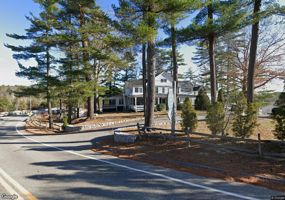
661 Whites Bridge Rd Unit 12 Standish, ME 04084
North Gorham NeighborhoodEstimated Value: $287,000 - $540,000
1
Bed
1
Bath
504
Sq Ft
$903/Sq Ft
Est. Value
About This Home
This home is located at 661 Whites Bridge Rd Unit 12, Standish, ME 04084 and is currently estimated at $455,041, approximately $902 per square foot. 661 Whites Bridge Rd Unit 12 is a home located in Cumberland County with nearby schools including Bonny Eagle High School and Windham Christian Academy.
Ownership History
Date
Name
Owned For
Owner Type
Purchase Details
Closed on
Sep 7, 2021
Sold by
Collet Debra J
Bought by
Boathouse Llc
Current Estimated Value
Purchase Details
Closed on
Feb 28, 2013
Sold by
Lougee Debra C and Collet Lougee D
Bought by
Boathouse Llc
Purchase Details
Closed on
Jan 28, 2011
Sold by
Collet Albert G
Bought by
Collet-Lougee Debra J
Home Financials for this Owner
Home Financials are based on the most recent Mortgage that was taken out on this home.
Original Mortgage
$192,000
Interest Rate
4.83%
Mortgage Type
Unknown
Create a Home Valuation Report for This Property
The Home Valuation Report is an in-depth analysis detailing your home's value as well as a comparison with similar homes in the area
Home Values in the Area
Average Home Value in this Area
Purchase History
| Date | Buyer | Sale Price | Title Company |
|---|---|---|---|
| Boathouse Llc | -- | None Available | |
| Boathouse Llc | -- | -- | |
| Collet-Lougee Debra J | $240,000 | -- |
Source: Public Records
Mortgage History
| Date | Status | Borrower | Loan Amount |
|---|---|---|---|
| Previous Owner | Collet-Lougee Debra J | $192,000 |
Source: Public Records
Tax History Compared to Growth
Tax History
| Year | Tax Paid | Tax Assessment Tax Assessment Total Assessment is a certain percentage of the fair market value that is determined by local assessors to be the total taxable value of land and additions on the property. | Land | Improvement |
|---|---|---|---|---|
| 2024 | $5,874 | $466,200 | $414,000 | $52,200 |
| 2023 | $4,911 | $354,600 | $313,700 | $40,900 |
| 2022 | $4,432 | $306,700 | $272,400 | $34,300 |
| 2021 | $4,205 | $280,300 | $247,600 | $32,700 |
| 2019 | $3,957 | $276,700 | $245,300 | $31,400 |
| 2018 | $3,478 | $271,900 | $240,500 | $31,400 |
| 2017 | $3,603 | $271,900 | $240,500 | $31,400 |
| 2016 | $3,486 | $271,900 | $240,500 | $31,400 |
| 2015 | $3,478 | $271,900 | $240,500 | $31,400 |
| 2013 | $3,285 | $271,900 | $240,500 | $31,400 |
Source: Public Records
Map
Nearby Homes
- 661 Whites Bridge Rd Unit 6
- 3 Shamrock Ln
- 136 Mineral Spring Rd
- 57 Keeps Way
- 11 Oxford Rd
- 15 Hayfield Ln
- 34 Whites Bridge Rd Unit 7
- 34 Trails End Rd
- 41 Shaw Acres Rd
- 103 Basin Rd
- 37 Shore Rd
- Lot #1 Chamberlain Dr
- 194 Hearthside Rd
- 351 Whites Bridge Rd
- 83 Anglers Rd
- 40 Claman Dr
- 34 Woodland Rd
- 10 Arlene Ln
- 1083 Roosevelt Trail
- 32 Robin Ln
- 661 Whites Bridge Rd Unit 10
- 661 Whites Bridge Rd Unit 7
- 661 Whites Bridge Rd Unit 19
- 661 Whites Bridge Rd Unit 8
- 661 Whites Bridge Rd Unit 661
- 661 Whites Bridge Rd Unit 2
- 661 Whites Bridge Rd Unit 20
- 661 Whites Bridge Rd Unit 22
- 661 Whites Bridge Rd Unit 14
- 661 Whites Bridge Rd Unit 18
- 661 Whites Bridge Rd Unit 15
- 661 Whites Bridge Rd Unit 5
- 661 Whites Bridge Rd Unit 3
- 661 Whites Bridge Rd Unit 13
- 661 Whites Bridge Rd Unit 17
- 661 Whites Bridge Rd Unit 16
- 667 Whites Bridge Rd Unit 22
- 698 Whites Bridge Rd
- 0 Whites Bridge
- 696 Whites Bridge Rd