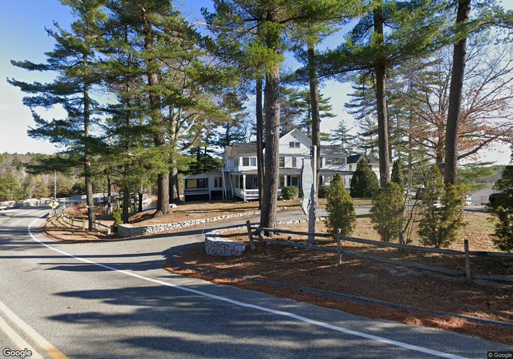
661 Whites Bridge Rd Unit 14 Standish, ME 04084
North Gorham NeighborhoodEstimated Value: $352,168 - $551,000
2
Beds
1
Bath
730
Sq Ft
$594/Sq Ft
Est. Value
About This Home
This home is located at 661 Whites Bridge Rd Unit 14, Standish, ME 04084 and is currently estimated at $433,792, approximately $594 per square foot. 661 Whites Bridge Rd Unit 14 is a home located in Cumberland County with nearby schools including Bonny Eagle High School and Windham Christian Academy.
Ownership History
Date
Name
Owned For
Owner Type
Purchase Details
Closed on
Feb 7, 2014
Sold by
Freeman Ashley
Bought by
Helen M Herman Lt
Current Estimated Value
Purchase Details
Closed on
Oct 20, 2010
Sold by
Harpole Mark S and Harpole Mariette M
Bought by
Helen M Herman Lt
Create a Home Valuation Report for This Property
The Home Valuation Report is an in-depth analysis detailing your home's value as well as a comparison with similar homes in the area
Home Values in the Area
Average Home Value in this Area
Purchase History
| Date | Buyer | Sale Price | Title Company |
|---|---|---|---|
| Helen M Herman Lt | -- | -- | |
| Helen M Herman Lt | -- | -- | |
| Helen M Herman Lt | -- | -- |
Source: Public Records
Mortgage History
| Date | Status | Borrower | Loan Amount |
|---|---|---|---|
| Previous Owner | Helen M Herman Lt | $119,100 | |
| Previous Owner | Helen M Herman Lt | $15,000 |
Source: Public Records
Tax History Compared to Growth
Tax History
| Year | Tax Paid | Tax Assessment Tax Assessment Total Assessment is a certain percentage of the fair market value that is determined by local assessors to be the total taxable value of land and additions on the property. | Land | Improvement |
|---|---|---|---|---|
| 2024 | $2,878 | $228,400 | $164,900 | $63,500 |
| 2023 | $2,373 | $171,300 | $124,900 | $46,400 |
| 2022 | $2,016 | $139,500 | $100,500 | $39,000 |
| 2021 | $1,926 | $128,400 | $91,300 | $37,100 |
| 2019 | $1,803 | $126,100 | $90,400 | $35,700 |
| 2018 | $1,463 | $124,400 | $88,700 | $35,700 |
| 2017 | $1,648 | $124,400 | $88,700 | $35,700 |
| 2016 | $1,595 | $124,400 | $88,700 | $35,700 |
| 2015 | $1,591 | $124,400 | $88,700 | $35,700 |
| 2013 | $1,503 | $124,400 | $88,700 | $35,700 |
Source: Public Records
Map
Nearby Homes
- 79 Whites Point Rd
- 36 Whites Bridge Rd Unit 8
- 41 Shaw Acres Rd
- 72 Sand Beach Rd
- 103 Basin Rd
- Lot #1 Chamberlain Dr
- 194 Hearthside Rd
- 99 Enterprise Dr
- lot #8 Bedrock Terrace
- 10 Arlene Ln
- 1083 Roosevelt Trail
- 34 Robin Ln
- 7 Papoose Island Rd
- 5 Pride Ln
- 34 Stoneridge Dr
- 3 Pride Ln
- 14 Sabbady Point Rd
- 59 Wild Acres Rd
- 0 Turning Leaf Dr Unit 1640377
- 7 Wild Acres Rd
- 661 Whites Bridge Rd Unit 10
- 661 Whites Bridge Rd Unit 7
- 661 Whites Bridge Rd Unit 19
- 661 Whites Bridge Rd Unit 8
- 661 Whites Bridge Rd Unit 661
- 661 Whites Bridge Rd Unit 2
- 661 Whites Bridge Rd Unit 20
- 661 Whites Bridge Rd Unit 22
- 661 Whites Bridge Rd Unit 18
- 661 Whites Bridge Rd Unit 15
- 661 Whites Bridge Rd Unit 5
- 661 Whites Bridge Rd Unit 3
- 661 Whites Bridge Rd Unit 13
- 661 Whites Bridge Rd Unit 12
- 661 Whites Bridge Rd Unit 17
- 661 Whites Bridge Rd Unit 16
- 667 Whites Bridge Rd Unit 22
- 698 Whites Bridge Rd
- 0 Whites Bridge
- 696 Whites Bridge Rd