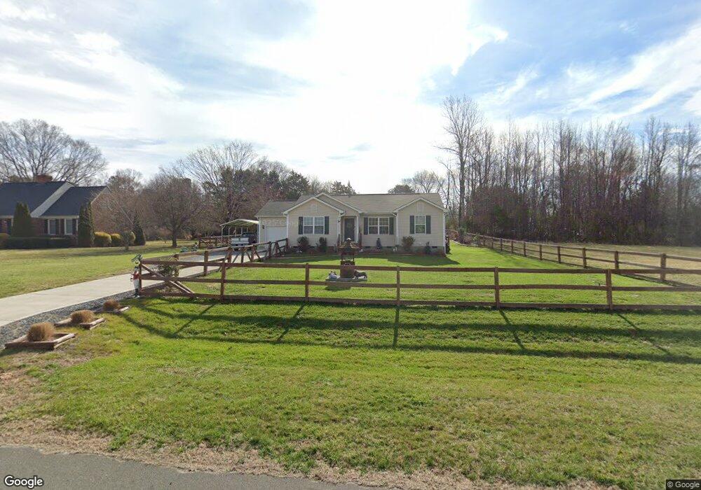
6610 Ladd Dr Eno Valley, NC 27712
North Durham NeighborhoodEstimated Value: $349,007 - $426,000
3
Beds
3
Baths
1,264
Sq Ft
$308/Sq Ft
Est. Value
About This Home
This home is located at 6610 Ladd Dr, Eno Valley, NC 27712 and is currently estimated at $389,502, approximately $308 per square foot. 6610 Ladd Dr is a home located in Durham County with nearby schools including Mangum Elementary School, Lucas Middle School, and Northern High School.
Ownership History
Date
Name
Owned For
Owner Type
Purchase Details
Closed on
Apr 5, 2021
Sold by
Teber Philip A and Teber Gloria J
Bought by
Conklin Vanissa B
Current Estimated Value
Home Financials for this Owner
Home Financials are based on the most recent Mortgage that was taken out on this home.
Original Mortgage
$244,538
Interest Rate
2.8%
Mortgage Type
New Conventional
Create a Home Valuation Report for This Property
The Home Valuation Report is an in-depth analysis detailing your home's value as well as a comparison with similar homes in the area
Home Values in the Area
Average Home Value in this Area
Purchase History
| Date | Buyer | Sale Price | Title Company |
|---|---|---|---|
| Conklin Vanissa B | $60,000 | None Available |
Source: Public Records
Mortgage History
| Date | Status | Borrower | Loan Amount |
|---|---|---|---|
| Closed | Conklin Vanissa B | $244,538 |
Source: Public Records
Tax History Compared to Growth
Tax History
| Year | Tax Paid | Tax Assessment Tax Assessment Total Assessment is a certain percentage of the fair market value that is determined by local assessors to be the total taxable value of land and additions on the property. | Land | Improvement |
|---|---|---|---|---|
| 2025 | $2,805 | $391,265 | $92,500 | $298,765 |
| 2024 | $2,232 | $214,626 | $46,225 | $168,401 |
| 2023 | $2,117 | $214,626 | $46,225 | $168,401 |
| 2022 | $2,032 | $214,626 | $46,225 | $168,401 |
| 2021 | $392 | $46,225 | $46,225 | $0 |
| 2020 | $384 | $46,225 | $46,225 | $0 |
| 2019 | $384 | $46,225 | $46,225 | $0 |
| 2018 | $297 | $33,228 | $33,228 | $0 |
| 2017 | $294 | $33,228 | $33,228 | $0 |
| 2016 | $281 | $33,228 | $33,228 | $0 |
| 2015 | $340 | $37,817 | $37,817 | $0 |
| 2014 | $340 | $37,817 | $37,817 | $0 |
Source: Public Records
Map
Nearby Homes
- 312 Mason Rd
- 206 Epperson Dr
- 123 W Bywood Dr
- 512 W Bywood Dr
- 604 Orange Factory Rd
- 6205 Dello St
- 530 Crievewood Dr
- 904 Snow Hill Rd
- 6423 Whitt Rd
- 155 Smith Dr
- 309 Smith Dr
- 5703 Altrada Dr
- 5707 Altrada Dr
- 816 Running Cedar Trail
- 726 Torredge Rd
- 328 Smith Dr
- 145 Barclay Rd
- 502 John Jones Rd
- 5500 Novaglen Rd
- 310 Mickey Cir