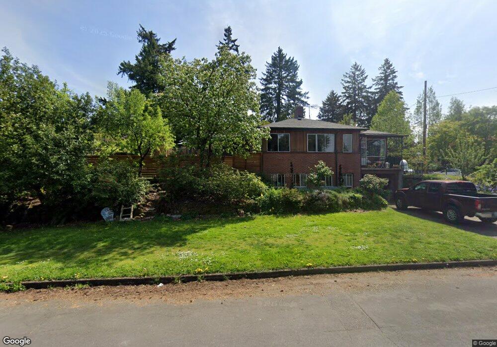
6610 NE Davis St Portland, OR 97213
North Tabor NeighborhoodEstimated Value: $584,604 - $603,000
3
Beds
3
Baths
1,246
Sq Ft
$479/Sq Ft
Est. Value
About This Home
This home is located at 6610 NE Davis St, Portland, OR 97213 and is currently estimated at $596,901, approximately $479 per square foot. 6610 NE Davis St is a home located in Multnomah County with nearby schools including Vestal Elementary School, Leodis V. McDaniel High School, and Portland Arthur Academy.
Ownership History
Date
Name
Owned For
Owner Type
Purchase Details
Closed on
Apr 27, 2021
Sold by
Cox Lesley E
Bought by
Brown Kristin R and Brown Travis C
Current Estimated Value
Home Financials for this Owner
Home Financials are based on the most recent Mortgage that was taken out on this home.
Original Mortgage
$483,900
Outstanding Balance
$437,849
Interest Rate
3%
Mortgage Type
New Conventional
Estimated Equity
$159,052
Purchase Details
Closed on
Sep 1, 2015
Sold by
Cox Beryl E
Bought by
Cox Beryl E and Beryl E Cox Living Trust
Create a Home Valuation Report for This Property
The Home Valuation Report is an in-depth analysis detailing your home's value as well as a comparison with similar homes in the area
Home Values in the Area
Average Home Value in this Area
Purchase History
| Date | Buyer | Sale Price | Title Company |
|---|---|---|---|
| Brown Kristin R | $537,675 | First American | |
| Cox Beryl E | -- | None Available |
Source: Public Records
Mortgage History
| Date | Status | Borrower | Loan Amount |
|---|---|---|---|
| Open | Brown Kristin R | $483,900 |
Source: Public Records
Tax History Compared to Growth
Tax History
| Year | Tax Paid | Tax Assessment Tax Assessment Total Assessment is a certain percentage of the fair market value that is determined by local assessors to be the total taxable value of land and additions on the property. | Land | Improvement |
|---|---|---|---|---|
| 2024 | $6,365 | $237,910 | -- | -- |
| 2023 | $6,121 | $230,990 | $0 | $0 |
| 2022 | $5,989 | $224,270 | $0 | $0 |
| 2021 | $5,887 | $217,740 | $0 | $0 |
| 2020 | $5,401 | $211,400 | $0 | $0 |
| 2019 | $5,202 | $205,250 | $0 | $0 |
| 2018 | $5,049 | $199,280 | $0 | $0 |
| 2017 | $4,840 | $193,480 | $0 | $0 |
| 2016 | $4,429 | $187,850 | $0 | $0 |
| 2015 | $4,313 | $182,380 | $0 | $0 |
| 2014 | $4,248 | $177,070 | $0 | $0 |
Source: Public Records
Map
Nearby Homes
- 6541 E Burnside St
- 304 NE 63rd Ave
- 6647 SE Thorburn St
- 232 NE 61st Ave
- 6134 E Burnside St
- 0 SE Ash Place Unit 10 24522620
- 6505 SE Thorburn St
- 350 NE 61st Ave
- 424 NE 61st Ave Unit 426
- 235 NE 61st Ave Unit 36
- 6055 E Burnside St
- 704 NE 68th Ave
- 280 NE 60th Ave Unit 22
- 6006 NE Davis St
- 541 NE 70th Ave
- 6825 SE Pine Ct
- 223 SE 62nd Ave
- 5536 NE Flanders St
- 5528 NE Flanders St
- 7020 NE Hoyt St
- 116 NE 66th Ave
- 6630 NE Davis St
- 104 NE 66th Ave
- 111 NE 67th Ave
- 103 NE 67th Ave
- 24 NE 66th Ave
- 6555 NE Davis St
- 125 NE 66th Ave
- 115 NE 66th Ave
- 6611 NE Davis St
- 21 NE 67th Ave
- 6535 NE Davis St
- 105 NE 66th Ave
- 206 NE 66th Ave Unit 240
- 25 NE 66th Ave
- 1014 NE 66th Ave
- 6650 E Burnside St
- 6641 E Burnside St
- 6641 E Burnside St Unit 2
- 6525 NE Davis St