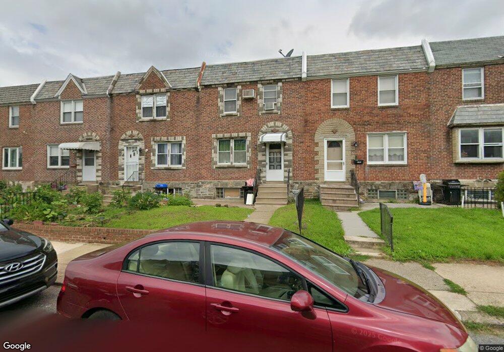
6610 Sylvester St Philadelphia, PA 19149
Castor Gardens NeighborhoodEstimated Value: $215,000 - $228,000
3
Beds
1
Bath
1,242
Sq Ft
$177/Sq Ft
Est. Value
About This Home
This home is located at 6610 Sylvester St, Philadelphia, PA 19149 and is currently estimated at $219,253, approximately $176 per square foot. 6610 Sylvester St is a home located in Philadelphia County with nearby schools including Gilbert Spruance School, Northeast High School, and Gospel of Grace Christian School.
Ownership History
Date
Name
Owned For
Owner Type
Purchase Details
Closed on
Jul 18, 2008
Sold by
Schwartz Marsha H and Schwartz Marsha A
Bought by
Dai David and Dai Michelle
Current Estimated Value
Home Financials for this Owner
Home Financials are based on the most recent Mortgage that was taken out on this home.
Original Mortgage
$93,000
Outstanding Balance
$61,261
Interest Rate
6.49%
Mortgage Type
Purchase Money Mortgage
Estimated Equity
$157,992
Create a Home Valuation Report for This Property
The Home Valuation Report is an in-depth analysis detailing your home's value as well as a comparison with similar homes in the area
Home Values in the Area
Average Home Value in this Area
Purchase History
| Date | Buyer | Sale Price | Title Company |
|---|---|---|---|
| Dai David | $117,000 | New Jersey Title Ins Co |
Source: Public Records
Mortgage History
| Date | Status | Borrower | Loan Amount |
|---|---|---|---|
| Open | Dai David | $93,000 |
Source: Public Records
Tax History Compared to Growth
Tax History
| Year | Tax Paid | Tax Assessment Tax Assessment Total Assessment is a certain percentage of the fair market value that is determined by local assessors to be the total taxable value of land and additions on the property. | Land | Improvement |
|---|---|---|---|---|
| 2025 | $2,527 | $221,500 | $44,300 | $177,200 |
| 2024 | $2,527 | $221,500 | $44,300 | $177,200 |
| 2023 | $2,527 | $180,500 | $36,100 | $144,400 |
| 2022 | $1,895 | $180,500 | $36,100 | $144,400 |
| 2021 | $1,895 | $0 | $0 | $0 |
| 2020 | $1,895 | $0 | $0 | $0 |
| 2019 | $1,818 | $0 | $0 | $0 |
| 2018 | $1,701 | $0 | $0 | $0 |
| 2017 | $1,701 | $0 | $0 | $0 |
| 2016 | $1,701 | $0 | $0 | $0 |
| 2015 | $1,628 | $0 | $0 | $0 |
| 2014 | -- | $121,500 | $20,618 | $100,882 |
| 2012 | -- | $15,648 | $1,506 | $14,142 |
Source: Public Records
Map
Nearby Homes
- 6621 Sylvester St
- 6627 Oakland St
- 6640 Souder St
- 1535 Hellerman St
- 6725 Eastwood St
- 1500 Hellerman St
- 6626 Lynford St
- 6739 Lynford St
- 6826 Sylvester St
- 6829 Horrocks St
- 6827 Lynford St
- 6834 Large St
- 1437 Magee Ave
- 1431 Greeby St
- 1425 Fanshawe St
- 2119 Glenview St
- 6300 Eastwood St
- 1412 Magee Ave
- 2110 Longshore Ave
- 1417 Unruh Ave
- 6612 Sylvester St
- 6608 Sylvester St
- 6614 Sylvester St
- 6606 Sylvester St
- 6616 Sylvester St
- 6604 Sylvester St
- 6618 Sylvester St
- 6602 Sylvester St
- 6611 Horrocks St
- 6613 Horrocks St
- 6615 Horrocks St
- 6609 Horrocks St
- 6617 Horrocks St
- 6620 Sylvester St
- 6607 Horrocks St
- 6619 Horrocks St
- 6600 Sylvester St
- 6605 Horrocks St
- 6621 Horrocks St
- 6603 Horrocks St