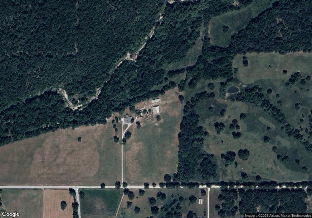
66100 E 22 Rd Quapaw, OK 74363
Estimated Value: $300,525 - $354,000
3
Beds
2
Baths
2,095
Sq Ft
$153/Sq Ft
Est. Value
About This Home
This home is located at 66100 E 22 Rd, Quapaw, OK 74363 and is currently estimated at $320,842, approximately $153 per square foot. 66100 E 22 Rd is a home located in Ottawa County with nearby schools including Quapaw Elementary School, Quapaw Middle School, and Quapaw High School.
Ownership History
Date
Name
Owned For
Owner Type
Purchase Details
Closed on
Oct 30, 2025
Sold by
Curry Rebekah M
Bought by
Rebekah M Curry Revocable Trust and Curry
Current Estimated Value
Purchase Details
Closed on
May 24, 2013
Sold by
Summers Michael Wayne and Summers Jill Kay
Bought by
Curry Dale Paul and Curry Rebeka M
Home Financials for this Owner
Home Financials are based on the most recent Mortgage that was taken out on this home.
Original Mortgage
$247,000
Interest Rate
3.45%
Mortgage Type
VA
Purchase Details
Closed on
Feb 26, 2001
Bought by
Summers Michael W and Summers Jill
Purchase Details
Closed on
Jun 24, 1993
Bought by
Wyatt Curtis A and Wyatt Sheila
Create a Home Valuation Report for This Property
The Home Valuation Report is an in-depth analysis detailing your home's value as well as a comparison with similar homes in the area
Purchase History
| Date | Buyer | Sale Price | Title Company |
|---|---|---|---|
| Rebekah M Curry Revocable Trust | -- | None Listed On Document | |
| Curry Dale Paul | $247,000 | Ottawa County Abstract & Tit | |
| Summers Michael W | $105,000 | -- | |
| Wyatt Curtis A | -- | -- |
Source: Public Records
Mortgage History
| Date | Status | Borrower | Loan Amount |
|---|---|---|---|
| Previous Owner | Curry Dale Paul | $247,000 |
Source: Public Records
Tax History
| Year | Tax Paid | Tax Assessment Tax Assessment Total Assessment is a certain percentage of the fair market value that is determined by local assessors to be the total taxable value of land and additions on the property. | Land | Improvement |
|---|---|---|---|---|
| 2025 | -- | $7,090 | $1,429 | $5,661 |
| 2024 | -- | $6,884 | $1,388 | $5,496 |
| 2023 | $0 | $6,684 | $1,380 | $5,304 |
| 2022 | $466 | $6,489 | $1,373 | $5,116 |
| 2021 | $377 | $6,300 | $1,366 | $4,934 |
| 2020 | $0 | $6,117 | $1,359 | $4,758 |
| 2019 | $303 | $5,939 | $1,345 | $4,594 |
| 2018 | $0 | $5,766 | $1,332 | $4,434 |
| 2017 | $0 | $5,598 | $1,319 | $4,279 |
| 2016 | $315 | $5,435 | $1,305 | $4,130 |
| 2015 | $333 | $4,879 | $805 | $4,074 |
| 2014 | $305 | $5,277 | $1,267 | $4,010 |
Source: Public Records
Map
Nearby Homes
- S 640 Rd
- 1010 E 34th St
- 3330 Edgewood Ave
- 916 E 27th St
- 2625 Gaineswood Ave
- 0000 S 637 Rd
- 2301 S 670 Rd
- 816 Oak Crest
- 2259 Cleveland Ave
- 1606 Fairview Ave
- 504 E 17th St
- 404 E 18th St
- 1545 Cherokee Ave
- 309 W 25th St
- 1625 Chouteau Ave
- 614 E 14th St
- 2205 Lincoln Ave
- 406 E 15th St
- 1719 East Ave
- 502 E 14th St
Your Personal Tour Guide
Ask me questions while you tour the home.