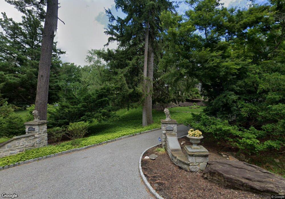
6611 Darnall Rd Towson, MD 21204
Ruxton NeighborhoodEstimated Value: $1,497,000 - $1,850,000
Studio
4
Baths
3,867
Sq Ft
$437/Sq Ft
Est. Value
About This Home
This home is located at 6611 Darnall Rd, Towson, MD 21204 and is currently estimated at $1,688,093, approximately $436 per square foot. 6611 Darnall Rd is a home located in Baltimore County with nearby schools including Riderwood Elementary School, Dumbarton Middle School, and Towson High Law & Public Policy.
Ownership History
Date
Name
Owned For
Owner Type
Purchase Details
Closed on
Aug 29, 2001
Sold by
Passano William M
Bought by
Cook Joseph D and Cook Monica D
Current Estimated Value
Purchase Details
Closed on
Jul 17, 1998
Sold by
Benedict George W
Bought by
Passano William M and Passano Terry D
Create a Home Valuation Report for This Property
The Home Valuation Report is an in-depth analysis detailing your home's value as well as a comparison with similar homes in the area
Home Values in the Area
Average Home Value in this Area
Purchase History
| Date | Buyer | Sale Price | Title Company |
|---|---|---|---|
| Cook Joseph D | $949,000 | -- | |
| Passano William M | $680,000 | -- |
Source: Public Records
Tax History
| Year | Tax Paid | Tax Assessment Tax Assessment Total Assessment is a certain percentage of the fair market value that is determined by local assessors to be the total taxable value of land and additions on the property. | Land | Improvement |
|---|---|---|---|---|
| 2025 | $15,928 | $1,292,900 | $441,100 | $851,800 |
| 2024 | $15,928 | $1,292,900 | $441,100 | $851,800 |
| 2023 | $7,993 | $1,292,900 | $441,100 | $851,800 |
| 2022 | $16,000 | $1,306,900 | $441,100 | $865,800 |
| 2021 | $16,112 | $1,306,900 | $441,100 | $865,800 |
| 2020 | $16,112 | $1,306,900 | $441,100 | $865,800 |
| 2019 | $16,121 | $1,313,900 | $441,100 | $872,800 |
| 2018 | $15,494 | $1,263,767 | $0 | $0 |
| 2017 | $14,734 | $1,213,633 | $0 | $0 |
| 2016 | $12,933 | $1,163,500 | $0 | $0 |
| 2015 | $12,933 | $1,131,533 | $0 | $0 |
| 2014 | $12,933 | $1,099,567 | $0 | $0 |
Source: Public Records
Map
Nearby Homes
- 1926 Ruxton Rd
- 6507 Darnall Rd
- 402 Brightwood Club Dr
- 406 Brightwood Club Dr
- 10108 Falls Rd
- 1806 Roland Ave
- 106 Brightwood Club Dr
- 206 Brightwood Club Dr
- 205 Brightwood Club Dr
- 514 Brightwood Club Dr Unit 514
- 7506 Lhirondelle Club Rd
- 12 Coniston Rd
- 2331 Old Court Rd Unit 506
- 2331 Old Court Rd Unit 201
- 2413 Still Forest Rd
- 8007 Strauff Rd
- 1500 Willow Ave
- 7 Windblown Ct Unit 201
- 3 Windblown Ct Unit 102
- 1809 Snow Meadow Ln Unit 102
- 1928 Ruxton Rd
- 1934 Ruxton Rd
- 6608 Darnall Rd
- 6607 Darnall Rd
- 1936 Ruxton Rd
- 1923 Ruxton Rd
- 6610 Darnall Rd
- 6606 Darnall Rd
- 1938 Ruxton Rd
- 1919 Ruxton Rd
- 1922 Ruxton Rd
- 2004 Ruxton Rd
- 2005 Ruxton Rd
- 1924 Ruxton Rd
- 2027 Skyline Rd
- 10 Jack Frost Ln
- 1940 Ruxton Rd
- 1942 Ruxton Rd
- 6601 Darnall Rd
- 2008 Ruxton Rd
Your Personal Tour Guide
Ask me questions while you tour the home.