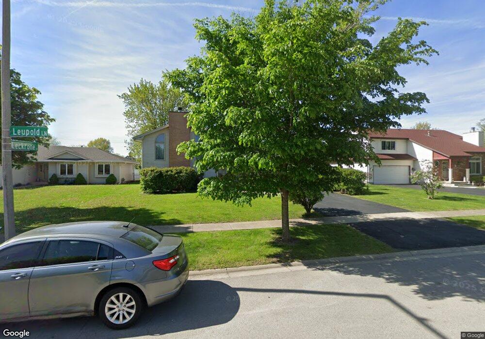
6612 Leupold Ln Unit 12 Plainfield, IL 60586
Fall Creek NeighborhoodEstimated Value: $355,505 - $405,000
--
Bed
--
Bath
2,652
Sq Ft
$145/Sq Ft
Est. Value
About This Home
This home is located at 6612 Leupold Ln Unit 12, Plainfield, IL 60586 and is currently estimated at $384,876, approximately $145 per square foot. 6612 Leupold Ln Unit 12 is a home located in Will County with nearby schools including Meadow View Elementary School, Aux Sable Middle School, and Plainfield South High School.
Ownership History
Date
Name
Owned For
Owner Type
Purchase Details
Closed on
Aug 23, 1996
Sold by
Leach Homes Inc
Bought by
Urbonas Karen L
Current Estimated Value
Home Financials for this Owner
Home Financials are based on the most recent Mortgage that was taken out on this home.
Original Mortgage
$152,550
Outstanding Balance
$12,123
Interest Rate
8.27%
Mortgage Type
FHA
Estimated Equity
$372,753
Create a Home Valuation Report for This Property
The Home Valuation Report is an in-depth analysis detailing your home's value as well as a comparison with similar homes in the area
Home Values in the Area
Average Home Value in this Area
Purchase History
| Date | Buyer | Sale Price | Title Company |
|---|---|---|---|
| Urbonas Karen L | $154,000 | -- |
Source: Public Records
Mortgage History
| Date | Status | Borrower | Loan Amount |
|---|---|---|---|
| Open | Urbonas Karen L | $152,550 |
Source: Public Records
Tax History Compared to Growth
Tax History
| Year | Tax Paid | Tax Assessment Tax Assessment Total Assessment is a certain percentage of the fair market value that is determined by local assessors to be the total taxable value of land and additions on the property. | Land | Improvement |
|---|---|---|---|---|
| 2024 | $6,552 | $99,236 | $21,940 | $77,296 |
| 2023 | $6,552 | $89,628 | $19,816 | $69,812 |
| 2022 | $6,294 | $80,498 | $17,797 | $62,701 |
| 2021 | $5,318 | $72,442 | $16,633 | $55,809 |
| 2020 | $5,234 | $70,387 | $16,161 | $54,226 |
| 2019 | $5,047 | $67,067 | $15,399 | $51,668 |
| 2018 | $4,824 | $63,013 | $14,469 | $48,544 |
| 2017 | $4,674 | $59,881 | $13,750 | $46,131 |
| 2016 | $4,573 | $57,111 | $13,114 | $43,997 |
| 2015 | $4,254 | $53,500 | $12,285 | $41,215 |
| 2014 | $4,254 | $51,611 | $11,851 | $39,760 |
| 2013 | $4,254 | $51,611 | $11,851 | $39,760 |
Source: Public Records
Map
Nearby Homes
- BELLAMY Plan at Ashford Place
- COVENTRY Plan at Ashford Place
- HENLEY Plan at Ashford Place
- HOLCOMBE Plan at Ashford Place
- HAVEN Plan at Ashford Place
- 0001 S State Route 59
- 0002 S State Route 59
- 6304 Southridge Dr
- 2042 Legacy Pointe Blvd
- 2617 Ruth Fitzgerald Dr Unit 7
- 6517 Langsford Ln
- 6910 Manchester Dr
- 6981 Paradise Cir Unit 2
- 2015 Brunswick Dr
- 2573 Canyon Dr Unit 310
- 2625 Canyon Dr Unit 830
- 1810 Legacy Pointe Blvd
- 1821 Overland Dr
- 1816 Overland Dr
- 1812 Overland Dr
- 6614 Leupold Ln Unit 12
- 6616 Leupold Ln
- 2407 Leckrone Dr
- 2402 Leckrone Dr Unit 12
- 2406 Joe Adler Dr
- 2404 Leckrone Dr
- 2409 Leckrone Dr
- 2406 Leckrone Dr Unit 12
- 2408 Joe Adler Dr
- 2408 Leckrone Dr Unit 12
- 17510 S Williamsburg Dr
- 2411 Leckrone Dr Unit 12
- 25863 Caton Farm Rd
- 25863 Caton Farm Rd
- 2401 Joe Adler Dr Unit 12
- 2403 Joe Adler Dr
- 2410 Joe Adler Dr
- 2410 Leckrone Dr Unit 12
- 2405 Joe Adler Dr Unit 12
- 2407 Joe Adler Dr