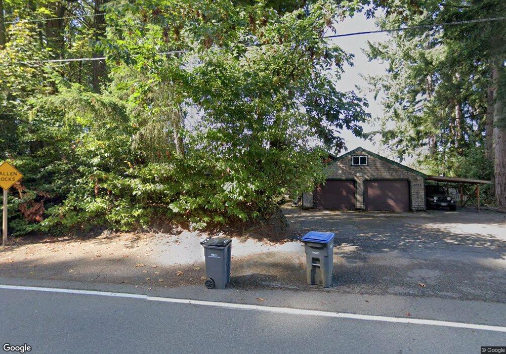
6613 Beach Dr E Port Orchard, WA 98366
Estimated Value: $978,000 - $1,625,000
2
Beds
3
Baths
3,004
Sq Ft
$452/Sq Ft
Est. Value
About This Home
This home is located at 6613 Beach Dr E, Port Orchard, WA 98366 and is currently estimated at $1,357,801, approximately $451 per square foot. 6613 Beach Dr E is a home located in Kitsap County with nearby schools including Manchester Elementary School, John Sedgwick Middle School, and South Kitsap High School.
Ownership History
Date
Name
Owned For
Owner Type
Purchase Details
Closed on
Sep 6, 2022
Sold by
Nardi Julie M
Bought by
Julie M A Nardi Trust
Current Estimated Value
Purchase Details
Closed on
Aug 5, 2003
Sold by
Hare Stephen and Beam Renee
Bought by
Nardi Steven L and Nardi Julie M
Home Financials for this Owner
Home Financials are based on the most recent Mortgage that was taken out on this home.
Original Mortgage
$560,800
Interest Rate
5.17%
Mortgage Type
Purchase Money Mortgage
Create a Home Valuation Report for This Property
The Home Valuation Report is an in-depth analysis detailing your home's value as well as a comparison with similar homes in the area
Home Values in the Area
Average Home Value in this Area
Purchase History
| Date | Buyer | Sale Price | Title Company |
|---|---|---|---|
| Julie M A Nardi Trust | -- | -- | |
| Nardi Steven L | $701,000 | Transnation Title Ins Co |
Source: Public Records
Mortgage History
| Date | Status | Borrower | Loan Amount |
|---|---|---|---|
| Previous Owner | Nardi Steven L | $560,800 |
Source: Public Records
Tax History Compared to Growth
Tax History
| Year | Tax Paid | Tax Assessment Tax Assessment Total Assessment is a certain percentage of the fair market value that is determined by local assessors to be the total taxable value of land and additions on the property. | Land | Improvement |
|---|---|---|---|---|
| 2026 | $10,896 | $1,279,960 | $540,060 | $739,900 |
| 2025 | $10,896 | $1,279,960 | $540,060 | $739,900 |
| 2024 | $10,564 | $1,279,960 | $540,060 | $739,900 |
| 2023 | $10,493 | $1,279,960 | $540,060 | $739,900 |
| 2022 | $10,205 | $1,041,530 | $432,880 | $608,650 |
| 2021 | $10,000 | $965,640 | $412,260 | $553,380 |
| 2020 | $9,186 | $860,440 | $321,410 | $539,030 |
| 2019 | $7,902 | $815,180 | $303,120 | $512,060 |
| 2018 | $8,068 | $665,040 | $274,380 | $390,660 |
| 2017 | $7,106 | $665,040 | $274,380 | $390,660 |
| 2016 | $7,449 | $638,480 | $261,310 | $377,170 |
| 2015 | $7,259 | $630,390 | $261,310 | $369,080 |
| 2014 | -- | $730,570 | $328,510 | $402,060 |
| 2013 | -- | $711,360 | $318,080 | $393,280 |
Source: Public Records
Map
Nearby Homes
- 5172 Rich View Dr E
- 0 Point White Dr NE
- 7817 E Hilldale Rd
- 3356 Point White Dr NE
- 6069 Watauga Beach Dr E
- 4611 Beach Dr E
- 6560 NE Latyson Ln
- 7021 Beach Dr E
- 4429 Waterman Ridge Ln E
- 6715 NE Dapple Ct
- 6705 NE Dapple Ct
- 5396 E Blaisdell Ln
- 6754 Missouri St E
- 3737 NE Bahia Vista Dr
- 0 Nevada Ave & Michigan St Unit NWM2365944
- 3200 Nevada East Ave
- 22 Lots Ave
- 4552 Point White Dr NE Unit A&B
- 7016 E Nightingale St
- 7020 E Nightingale St
- 6671 Beach Dr E
- 6628 Beach Dr E
- 6685 Beach Dr E
- 6695 Beach Dr E
- 6731 Beach Dr E
- 6760 Beach Dr E
- 6480 Beach Dr E
- 6474 Beach Dr E
- 6751 Beach Dr E
- 5900 Wynn Jones Rd E
- 6466 Beach Dr E
- 5922 Wynn Jones Rd E
- 5950 Wynn Jones Rd E
- 35 Beach Dr E
- 5608 Lighthouse Dr E
- 5624 E Lighthouse Dr
- 5612 E Lighthouse Dr
- 7073 Watauga Beach Dr E
- 5618 E Lighthouse Dr