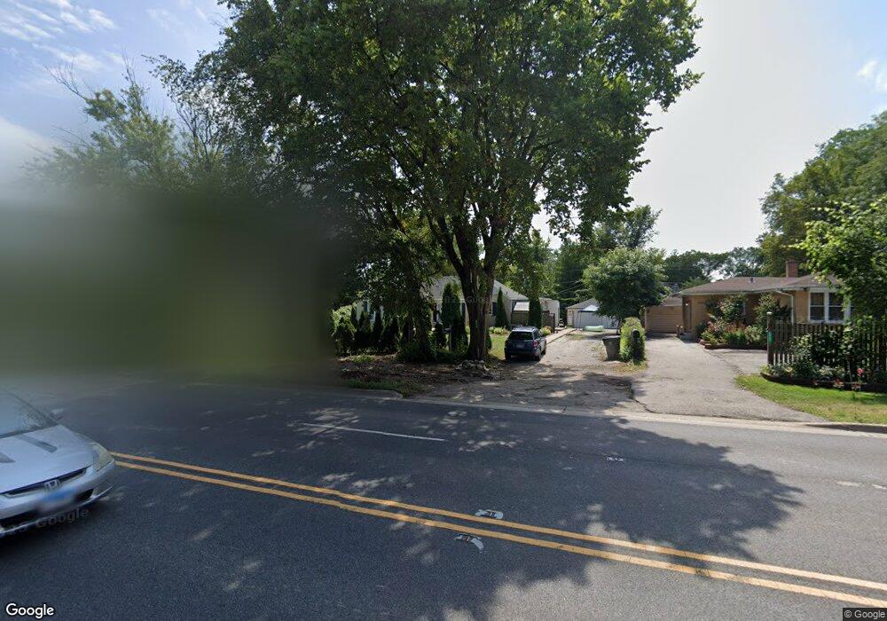
6615 Golf Rd Morton Grove, IL 60053
Estimated Value: $433,000 - $531,000
3
Beds
1
Bath
1,393
Sq Ft
$344/Sq Ft
Est. Value
About This Home
This home is located at 6615 Golf Rd, Morton Grove, IL 60053 and is currently estimated at $479,373, approximately $344 per square foot. 6615 Golf Rd is a home located in Cook County with nearby schools including Hynes Elementary School, Golf Middle School, and Niles North High School.
Ownership History
Date
Name
Owned For
Owner Type
Purchase Details
Closed on
Sep 18, 2009
Sold by
Finnegan Elizabeth
Bought by
Jara Nancy and Jara Antonio
Current Estimated Value
Home Financials for this Owner
Home Financials are based on the most recent Mortgage that was taken out on this home.
Original Mortgage
$220,568
Outstanding Balance
$143,880
Interest Rate
5.38%
Mortgage Type
FHA
Estimated Equity
$335,493
Purchase Details
Closed on
Sep 10, 2005
Sold by
Hill John A
Bought by
Hill John A and Finnegan Elizabeth
Create a Home Valuation Report for This Property
The Home Valuation Report is an in-depth analysis detailing your home's value as well as a comparison with similar homes in the area
Home Values in the Area
Average Home Value in this Area
Purchase History
| Date | Buyer | Sale Price | Title Company |
|---|---|---|---|
| Jara Nancy | $235,000 | Heritage Title Company | |
| Hill John A | -- | -- |
Source: Public Records
Mortgage History
| Date | Status | Borrower | Loan Amount |
|---|---|---|---|
| Open | Jara Nancy | $220,568 |
Source: Public Records
Tax History
| Year | Tax Paid | Tax Assessment Tax Assessment Total Assessment is a certain percentage of the fair market value that is determined by local assessors to be the total taxable value of land and additions on the property. | Land | Improvement |
|---|---|---|---|---|
| 2025 | $7,019 | $36,000 | $17,851 | $18,149 |
| 2024 | $7,019 | $31,772 | $14,972 | $16,800 |
| 2023 | $7,496 | $31,772 | $14,972 | $16,800 |
| 2022 | $7,496 | $35,000 | $14,972 | $20,028 |
| 2021 | $5,990 | $26,222 | $9,213 | $17,009 |
| 2020 | $6,002 | $26,222 | $9,213 | $17,009 |
| 2019 | $7,433 | $31,881 | $9,213 | $22,668 |
| 2018 | $7,393 | $28,853 | $8,349 | $20,504 |
| 2017 | $7,438 | $28,853 | $8,349 | $20,504 |
| 2016 | $7,277 | $28,853 | $8,349 | $20,504 |
| 2015 | $7,014 | $25,792 | $7,198 | $18,594 |
| 2014 | $6,896 | $25,792 | $7,198 | $18,594 |
| 2013 | $6,759 | $25,792 | $7,198 | $18,594 |
Source: Public Records
Map
Nearby Homes
- 6619 Palma Ln
- 6909 Beckwith Rd
- 6628 Davis St
- 9133 Oak Park Ave
- 6727 Beckwith Rd
- 9131 Newcastle Ave
- 6901 Church St
- 1123 Longvalley Rd
- 1121 Longvalley Rd
- 1119 Longvalley Rd
- 7046 Beckwith Rd
- 1735 Longvalley Rd
- 245 Nora Ave
- 38 Washington St
- 609 Carriage Hill Dr
- 7313 Lyons St
- 711 Carriage Hill Dr
- 7303 Ponto Dr
- 8927 Belleforte Ave
- 315 Lincoln St