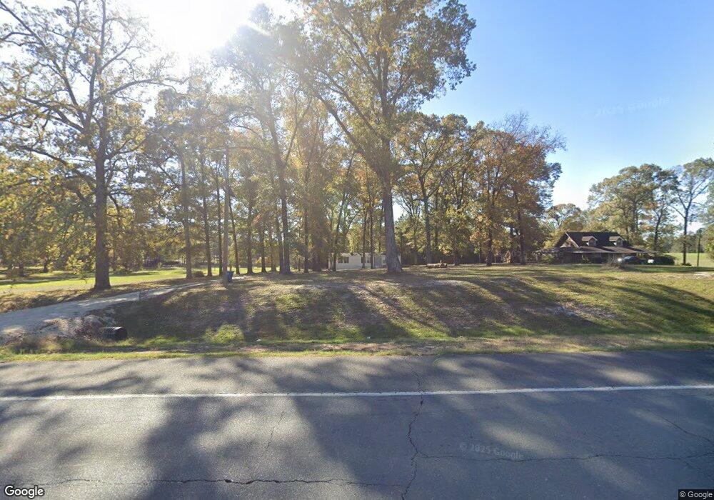
6615 Highway 111 Anacoco, LA 71403
Estimated Value: $331,581 - $348,000
--
Bed
--
Bath
--
Sq Ft
9.46
Acres
About This Home
This home is located at 6615 Highway 111, Anacoco, LA 71403 and is currently estimated at $338,645. 6615 Highway 111 is a home located in Vernon Parish.
Ownership History
Date
Name
Owned For
Owner Type
Purchase Details
Closed on
Jul 31, 2018
Sold by
Turner William Calvin and Aycock Lisa Turner
Bought by
West Russell Allen
Current Estimated Value
Home Financials for this Owner
Home Financials are based on the most recent Mortgage that was taken out on this home.
Original Mortgage
$403,750
Outstanding Balance
$350,641
Interest Rate
4.5%
Mortgage Type
New Conventional
Estimated Equity
-$11,996
Create a Home Valuation Report for This Property
The Home Valuation Report is an in-depth analysis detailing your home's value as well as a comparison with similar homes in the area
Home Values in the Area
Average Home Value in this Area
Purchase History
| Date | Buyer | Sale Price | Title Company |
|---|---|---|---|
| West Russell Allen | -- | None Available | |
| West Russell Allen | $425,000 | None Available |
Source: Public Records
Mortgage History
| Date | Status | Borrower | Loan Amount |
|---|---|---|---|
| Open | West Russell Allen | $403,750 |
Source: Public Records
Tax History Compared to Growth
Tax History
| Year | Tax Paid | Tax Assessment Tax Assessment Total Assessment is a certain percentage of the fair market value that is determined by local assessors to be the total taxable value of land and additions on the property. | Land | Improvement |
|---|---|---|---|---|
| 2024 | $3,351 | $27,710 | $530 | $27,180 |
| 2023 | $3,129 | $25,720 | $490 | $25,230 |
| 2022 | $3,129 | $25,720 | $490 | $25,230 |
| 2021 | $3,105 | $25,720 | $490 | $25,230 |
| 2020 | $3,370 | $25,720 | $490 | $25,230 |
| 2019 | $3,392 | $25,710 | $480 | $25,230 |
| 2018 | $3,536 | $25,710 | $480 | $25,230 |
| 2017 | $3,506 | $25,710 | $480 | $25,230 |
| 2015 | $3,526 | $25,480 | $250 | $25,230 |
| 2014 | $3,522 | $25,480 | $250 | $25,230 |
| 2013 | $3,415 | $25,480 | $250 | $25,230 |
Source: Public Records
Map
Nearby Homes
- 193 Shady Ln
- 812 McConathy Rd
- 1023 McConathy Rd
- 505 Holly Grove Rd
- 0 Tbd Land T3nr10w- Sec 10 Swnw Unit 20-450
- 180 Dogwood Dr
- 105 Gazebo Ln
- 262 Mcneely Rd
- 1781 Barham Rd
- 152 Liles Rd
- 136 Holton Harris Rd
- 5128 West St
- 5119 West St
- 177 Jana St
- 0 Norwood Point
- 137 Fairlane Rd
- 4549 Main St
- 227 Thaxton Landing Rd
- 0 Main St
- 325 Loop Rd
- 6615 Highway 111
- 200 Tyler Rd
- 195 Bud McCullough Rd
- 170 Tyler Rd
- 6633 Highway 111
- 191 Tilly Dr
- 134 Tyler Rd
- 175 Tyler Rd
- 6583 Highway 111
- 117 Bud McCullough Rd
- 6737 Highway 111
- 6737 Highway 111
- 123 Tyler Rd
- 183 Doyle Rd
- 6518 Highway 111
- 6722 Highway 111
- 6555 Highway 111
- 6604 Highway 111
- 143 Doyle Rd
- 197 Doyle Rd