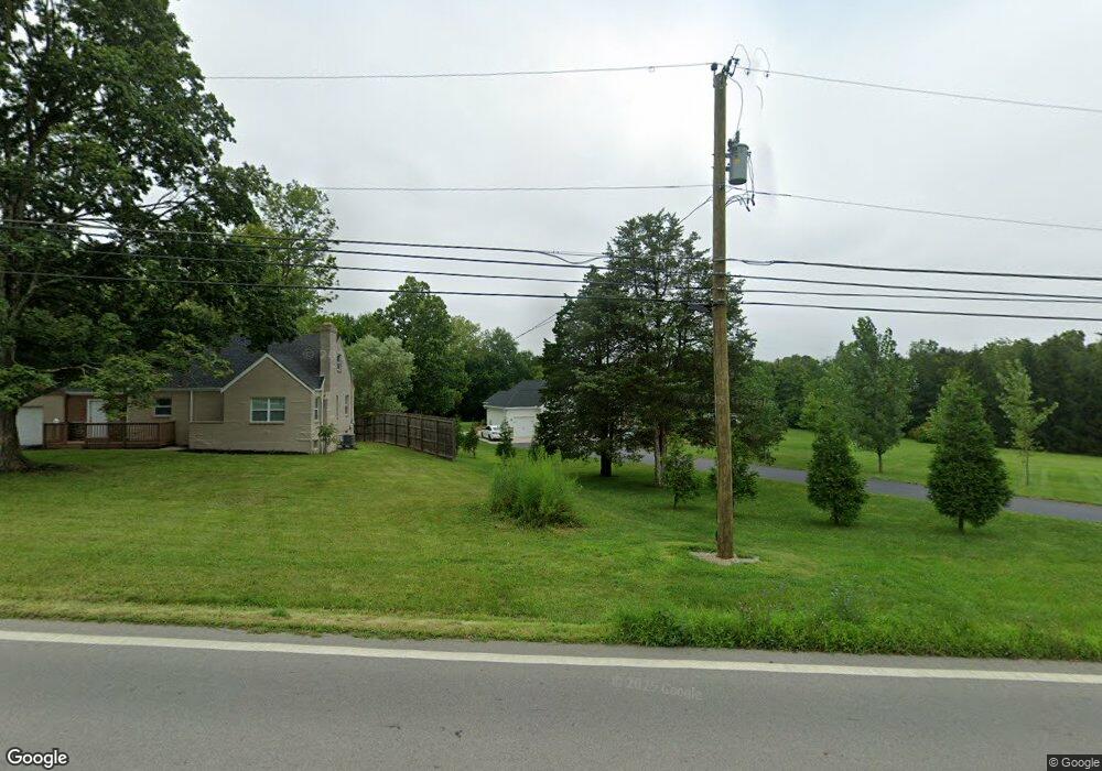
6615 State Route 48 Springboro, OH 45066
Clearcreek Township NeighborhoodEstimated Value: $616,971 - $747,000
4
Beds
4
Baths
1,722
Sq Ft
$390/Sq Ft
Est. Value
About This Home
This home is located at 6615 State Route 48, Springboro, OH 45066 and is currently estimated at $672,243, approximately $390 per square foot. 6615 State Route 48 is a home with nearby schools including Clearcreek Elementary School, Springboro Intermediate School, and Springboro Junior High School.
Ownership History
Date
Name
Owned For
Owner Type
Purchase Details
Closed on
Aug 1, 2019
Sold by
Fultz Kenneth Lee and Fultz Carolyn Louise
Bought by
Weaver Eric and Weaver Sandra Calle
Current Estimated Value
Purchase Details
Closed on
Jul 27, 2016
Sold by
Griffin Shirley J
Bought by
Fultz Kenneth Lee and Fultz Carolyn Louise
Purchase Details
Closed on
Jun 25, 2008
Sold by
Lambert Robert M and Lambert Ida Marie
Bought by
Lambert Robert M and Lambert Ida Marie
Create a Home Valuation Report for This Property
The Home Valuation Report is an in-depth analysis detailing your home's value as well as a comparison with similar homes in the area
Home Values in the Area
Average Home Value in this Area
Purchase History
| Date | Buyer | Sale Price | Title Company |
|---|---|---|---|
| Weaver Eric | $58,500 | None Available | |
| Fultz Kenneth Lee | $32,000 | Attorney | |
| Lambert Robert M | -- | Attorney |
Source: Public Records
Tax History Compared to Growth
Tax History
| Year | Tax Paid | Tax Assessment Tax Assessment Total Assessment is a certain percentage of the fair market value that is determined by local assessors to be the total taxable value of land and additions on the property. | Land | Improvement |
|---|---|---|---|---|
| 2024 | $7,022 | $172,170 | $27,970 | $144,200 |
| 2023 | $6,276 | $144,448 | $16,814 | $127,634 |
| 2022 | $6,276 | $144,449 | $16,814 | $127,635 |
| 2021 | $6,045 | $144,449 | $16,814 | $127,635 |
| 2020 | $661 | $13,671 | $13,671 | $0 |
| 2019 | $613 | $13,671 | $13,671 | $0 |
| 2018 | $614 | $13,671 | $13,671 | $0 |
| 2017 | $607 | $12,170 | $12,170 | $0 |
| 2016 | $632 | $12,170 | $12,170 | $0 |
| 2015 | $633 | $12,170 | $12,170 | $0 |
| 2014 | $625 | $11,340 | $11,340 | $0 |
| 2013 | $625 | $12,790 | $12,790 | $0 |
Source: Public Records
Map
Nearby Homes
- 420 Fitchs Farm Ct
- 7491 Country Brook Ct
- 7510 Country Brook Ct
- 6887 Bunnell Hill Rd
- 7250 Beaver Brook Dr
- 4870 Bunnell Hill Rd
- 7660 Horizon Hill Dr
- 1744 Harlan Rd
- 7940 Bunnell Hill Rd
- 8234 Voltaire Ct
- 7876 Tall Trees Ct
- 0 White Cedar Way Unit 1818661
- 7476 Waterway Dr
- 4904 Bunnell Hill Rd
- 79 White Beech Ct
- 7607 Stone Ridge Dr
- 8533 Silver Oak Ct
- 7498 Majestic Trail
- 2814 Station House Way
- 814 Valley View Point
- 6587 Ohio 48
- 6587 State Route 48
- 0 N St Rt 48 Unit 1110366
- 0 N St Rt 48 Unit 1521603
- 1.078ac Ohio 48
- 6592 N St Rt 48
- 6592 N Route 48
- 6592 State Route 48
- 6651 State Route 48
- 6560 State Route 48 N
- 6560 N St Rt 48
- 6560 State Route 48
- 6539 State Route 48
- 6539 Ohio 48
- 1138 Jarva Ln
- 6539 N Route 48
- 6539 N St Rt 48
- 1133 Jarva Ln
- 9639 St Rt 48
- 6659 N Route 48