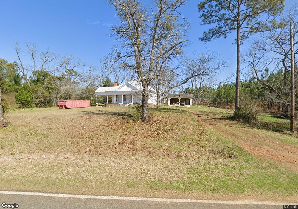
6616 W Centerpoint Rd W Richland, GA 31825
Estimated Value: $51,000 - $63,402
3
Beds
1
Bath
1,560
Sq Ft
$37/Sq Ft
Est. Value
About This Home
This home is located at 6616 W Centerpoint Rd W, Richland, GA 31825 and is currently estimated at $57,201, approximately $36 per square foot. 6616 W Centerpoint Rd W is a home with nearby schools including Webster County Elementary/Middle School and Webster County High School.
Ownership History
Date
Name
Owned For
Owner Type
Purchase Details
Closed on
Mar 25, 2022
Sold by
Eakes John Lester
Bought by
Eakes John R and Eakes Doris
Current Estimated Value
Purchase Details
Closed on
Sep 18, 2020
Sold by
Eakes John R
Bought by
Eakes John Lester
Purchase Details
Closed on
Aug 3, 1999
Sold by
Household Realty Cor
Bought by
Eakes John R
Purchase Details
Closed on
Mar 3, 1998
Sold by
Parker Marcus
Bought by
Household Realty Cor
Create a Home Valuation Report for This Property
The Home Valuation Report is an in-depth analysis detailing your home's value as well as a comparison with similar homes in the area
Home Values in the Area
Average Home Value in this Area
Purchase History
| Date | Buyer | Sale Price | Title Company |
|---|---|---|---|
| Eakes John R | -- | -- | |
| Eakes John Lester | -- | -- | |
| Eakes John R | $6,000 | -- | |
| Household Realty Cor | $43,000 | -- |
Source: Public Records
Tax History Compared to Growth
Tax History
| Year | Tax Paid | Tax Assessment Tax Assessment Total Assessment is a certain percentage of the fair market value that is determined by local assessors to be the total taxable value of land and additions on the property. | Land | Improvement |
|---|---|---|---|---|
| 2024 | $281 | $7,940 | $2,920 | $5,020 |
| 2023 | $210 | $7,940 | $2,920 | $5,020 |
| 2022 | $187 | $7,180 | $2,920 | $4,260 |
| 2021 | $190 | $7,180 | $2,920 | $4,260 |
| 2020 | $190 | $7,180 | $2,920 | $4,260 |
| 2019 | $190 | $7,180 | $2,920 | $4,260 |
| 2018 | $190 | $7,180 | $2,920 | $4,260 |
| 2017 | $190 | $7,180 | $2,920 | $4,260 |
| 2016 | $190 | $7,180 | $2,920 | $4,260 |
| 2015 | -- | $7,180 | $2,920 | $4,260 |
| 2014 | -- | $7,180 | $2,920 | $4,260 |
| 2013 | -- | $7,180 | $2,920 | $4,260 |
Source: Public Records
Map
Nearby Homes
- 0 U S Highway 280
- 000 Broad St
- 213 Broad St
- 0 Broad St Unit 10460253
- 1469 Wall St
- 10200 U S Highway 280
- 0 Peach Orchard Rd
- 0 Loven Mill Rd
- 266 +/- AC Loven Mill Rd
- 115 Deer Camp Rd
- 1100 Churchill Rd
- 0 Fox Creek Rd Unit 10581761
- 0 Moores Store Rd
- 13990 Ga Highway 27
- 0 Liberty St Unit 10517245
- 0 Liberty St Unit 10517236
- 0 County Road 54
- 0 U S 280
- 0 Valley Rd
- 0 Louise Bell Rd
- 6650 W Centerpoint Rd
- 6406 W Centerpoint Rd
- 4283 W Centerpoint Rd
- 0 W Centerpoint Rd Unit 182063
- 0 W Centerpoint Rd Unit 8782113
- 6215 W Centerpoint Rd
- 6453 W Centerpoint Rd
- 3154 N Hospital Rd
- 5360 Kennedy Pond Rd
- 6052 W Centerpoint Rd
- 5496 Kennedy Pond Rd
- 67 Deer Run Dr
- 56 Deer Run Dr
- 36 Quail Ridge Dr
- 70 Deer Run Dr
- 30 Pecan Dr
- 88 Quail Ridge Dr
- 51 Pecan Dr
- 5985 W Centerpoint Rd
- 12 Tiffany Dr