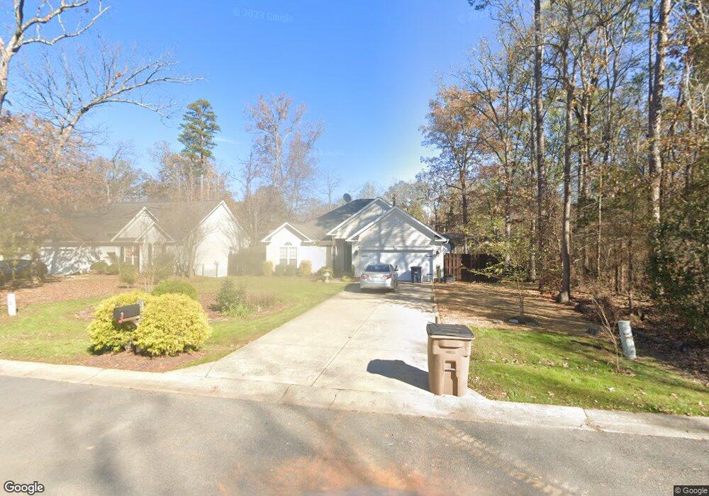
6618 2nd Ave Indian Trail, NC 28079
Estimated Value: $343,000 - $397,000
3
Beds
2
Baths
1,506
Sq Ft
$242/Sq Ft
Est. Value
About This Home
This home is located at 6618 2nd Ave, Indian Trail, NC 28079 and is currently estimated at $365,136, approximately $242 per square foot. 6618 2nd Ave is a home located in Union County with nearby schools including Stallings Elementary School, Porter Ridge Middle School, and Porter Ridge High School.
Ownership History
Date
Name
Owned For
Owner Type
Purchase Details
Closed on
Jun 3, 2005
Sold by
Amerifirst Homes Inc
Bought by
Tupchiy Pavel and Tupchiy Yelena
Current Estimated Value
Home Financials for this Owner
Home Financials are based on the most recent Mortgage that was taken out on this home.
Original Mortgage
$140,600
Outstanding Balance
$71,894
Interest Rate
5.74%
Mortgage Type
Fannie Mae Freddie Mac
Estimated Equity
$293,243
Purchase Details
Closed on
Jun 17, 2003
Sold by
Pressley Kevin and Pressley Julie
Bought by
Amerifirst Homes Inc
Purchase Details
Closed on
Mar 17, 1999
Sold by
Reule William H and Reule Faye P
Bought by
Pressley Kevin and Dk Pressley Development
Create a Home Valuation Report for This Property
The Home Valuation Report is an in-depth analysis detailing your home's value as well as a comparison with similar homes in the area
Home Values in the Area
Average Home Value in this Area
Purchase History
| Date | Buyer | Sale Price | Title Company |
|---|---|---|---|
| Tupchiy Pavel | $148,000 | First American Title Ins Co | |
| Amerifirst Homes Inc | $84,000 | -- | |
| Pressley Kevin | $6,000 | -- |
Source: Public Records
Mortgage History
| Date | Status | Borrower | Loan Amount |
|---|---|---|---|
| Open | Tupchiy Pavel | $140,600 |
Source: Public Records
Tax History Compared to Growth
Tax History
| Year | Tax Paid | Tax Assessment Tax Assessment Total Assessment is a certain percentage of the fair market value that is determined by local assessors to be the total taxable value of land and additions on the property. | Land | Improvement |
|---|---|---|---|---|
| 2025 | $2,803 | $423,600 | $0 | $0 |
| 2024 | $2,184 | $258,600 | $29,800 | $228,800 |
| 2023 | $2,166 | $258,600 | $29,800 | $228,800 |
| 2022 | $2,166 | $258,600 | $29,800 | $228,800 |
| 2021 | $2,166 | $258,600 | $29,800 | $228,800 |
| 2020 | $1,211 | $155,250 | $22,050 | $133,200 |
| 2019 | $1,551 | $155,250 | $22,050 | $133,200 |
| 2018 | $1,211 | $155,250 | $22,050 | $133,200 |
| 2017 | $1,631 | $155,300 | $22,100 | $133,200 |
| 2016 | $1,595 | $155,250 | $22,050 | $133,200 |
| 2015 | $1,285 | $155,250 | $22,050 | $133,200 |
| 2014 | $1,058 | $148,090 | $29,820 | $118,270 |
Source: Public Records
Map
Nearby Homes
- 3903 Etheredge St
- 0 Rose Dr Unit CAR4322172
- 0 Rose Dr Unit CAR4322165
- 000 Woodhaven Ln Unit 15/16
- 1010 Mapletree Ln
- 1092 Mapletree Ln
- 1073 Mapletree Ln
- 6708 Mimosa St
- Lot 8, 9 Brown Ln
- lot 4, 5 Brown Ln
- 2510 Younts Rd
- 5516 Beverly Dr
- 7215 Conifer Cir
- 6200 Trevor Simpson Dr
- 3508 Mayhurst Dr
- 6825 Creft Cir Unit 49
- 3805 Balsam St Unit 321
- 1541 Banham Dr
- 3802 Balsam St
- 605 Allen Way