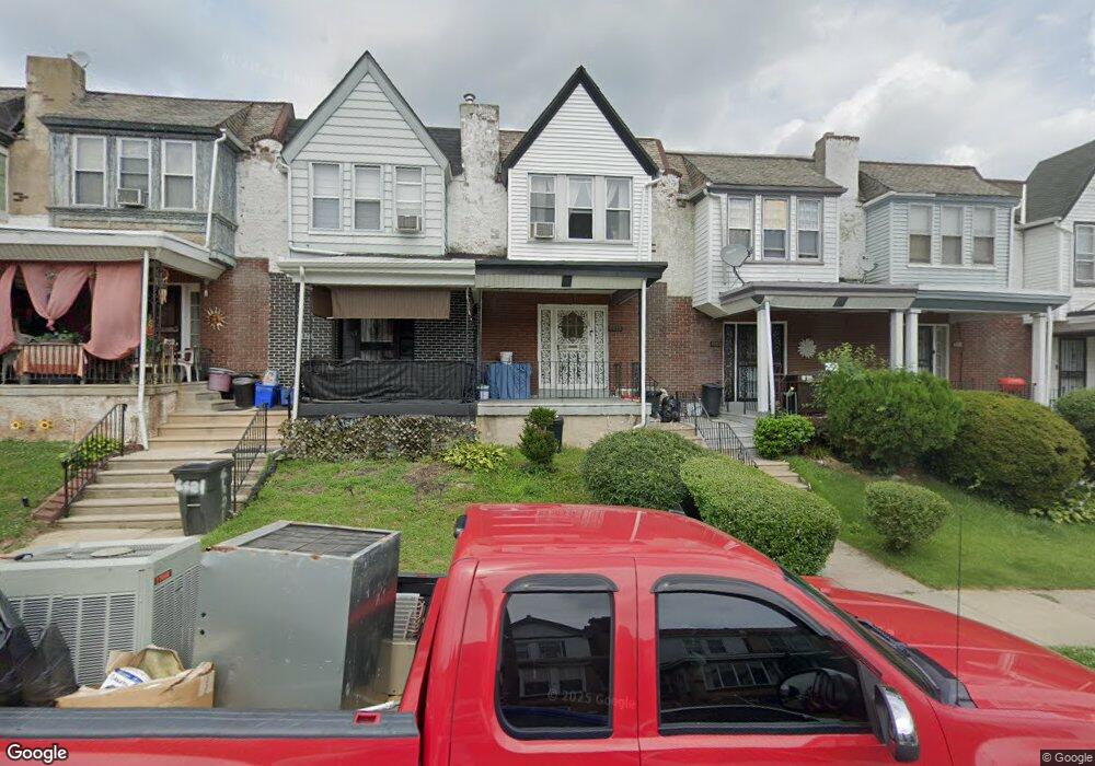
6619 Cornelius St Philadelphia, PA 19138
West Oak Lane NeighborhoodEstimated Value: $198,000 - $211,000
3
Beds
1
Bath
1,064
Sq Ft
$191/Sq Ft
Est. Value
About This Home
This home is located at 6619 Cornelius St, Philadelphia, PA 19138 and is currently estimated at $203,433, approximately $191 per square foot. 6619 Cornelius St is a home located in Philadelphia County with nearby schools including Anna B. Day School, Martin Luther King High School, and West Oak Lane Charter School.
Ownership History
Date
Name
Owned For
Owner Type
Purchase Details
Closed on
Dec 9, 2011
Sold by
Bond Delores
Bought by
Chandler Mark Desley
Current Estimated Value
Home Financials for this Owner
Home Financials are based on the most recent Mortgage that was taken out on this home.
Original Mortgage
$41,600
Outstanding Balance
$28,444
Interest Rate
4%
Mortgage Type
New Conventional
Estimated Equity
$174,989
Create a Home Valuation Report for This Property
The Home Valuation Report is an in-depth analysis detailing your home's value as well as a comparison with similar homes in the area
Home Values in the Area
Average Home Value in this Area
Purchase History
| Date | Buyer | Sale Price | Title Company |
|---|---|---|---|
| Chandler Mark Desley | $52,000 | None Available |
Source: Public Records
Mortgage History
| Date | Status | Borrower | Loan Amount |
|---|---|---|---|
| Open | Chandler Mark Desley | $41,600 |
Source: Public Records
Tax History Compared to Growth
Tax History
| Year | Tax Paid | Tax Assessment Tax Assessment Total Assessment is a certain percentage of the fair market value that is determined by local assessors to be the total taxable value of land and additions on the property. | Land | Improvement |
|---|---|---|---|---|
| 2025 | $2,093 | $185,300 | $37,060 | $148,240 |
| 2024 | $2,093 | $185,300 | $37,060 | $148,240 |
| 2023 | $2,093 | $149,500 | $29,900 | $119,600 |
| 2022 | $1,582 | $149,500 | $29,900 | $119,600 |
| 2021 | $1,582 | $0 | $0 | $0 |
| 2020 | $1,582 | $0 | $0 | $0 |
| 2019 | $1,652 | $0 | $0 | $0 |
| 2018 | $1,466 | $0 | $0 | $0 |
| 2017 | $1,466 | $0 | $0 | $0 |
| 2016 | $1,466 | $0 | $0 | $0 |
| 2015 | $1,403 | $0 | $0 | $0 |
| 2014 | -- | $104,700 | $9,504 | $95,196 |
| 2012 | -- | $10,912 | $1,908 | $9,004 |
Source: Public Records
Map
Nearby Homes
- 6661 Cornelius St
- 6635 Hollis St
- 6620 Cornelius St
- 1521 E Walnut Ln
- 1505 Beverly Rd
- 6332 E Wister St
- 1537 Beverly Rd
- 1544 Beverly Rd
- 6824 Rodney St
- 7243 Mansfield Ave
- 1559 E Pastorius St
- 1344 Narragansett St
- 7258 Mansfield Ave
- 1416-20 E Tulpehocken St
- 1544 E Tulpehocken St
- 2152 Stenton Ave
- 5843 Crittenden St
- 5839 Crittenden St
- 5831 Crittenden St
- 5829 Crittenden St
- 6621 Cornelius St
- 6623 Cornelius St
- 6615 Cornelius St
- 6617 Cornelius St
- 6625 Cornelius St
- 6613 Cornelius St
- 6627 Cornelius St
- 6611 Cornelius St
- 6629 Cornelius St
- 6600 Hollis St
- 6631 Cornelius St
- 6602 Hollis St
- 6604 Hollis St
- 6606 Hollis St
- 6633 Cornelius St
- 6608 Hollis St
- 6610 Hollis St
- 6635 Cornelius St
- 6622 Cornelius St
- 6624 Cornelius St