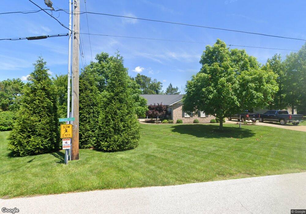
6619 North Dr Byrnes Mill, MO 63051
Estimated Value: $265,388 - $430,000
Studio
--
Bath
1,912
Sq Ft
$184/Sq Ft
Est. Value
About This Home
This home is located at 6619 North Dr, Byrnes Mill, MO 63051 and is currently estimated at $352,097, approximately $184 per square foot. 6619 North Dr is a home with nearby schools including Northwest High School and St. Anthony School.
Ownership History
Date
Name
Owned For
Owner Type
Purchase Details
Closed on
May 7, 1997
Sold by
Rice Louise
Bought by
Ruzicka Gene E and Ruzicka Sandra D
Current Estimated Value
Home Financials for this Owner
Home Financials are based on the most recent Mortgage that was taken out on this home.
Original Mortgage
$13,500
Outstanding Balance
$1,844
Interest Rate
7.97%
Estimated Equity
$350,253
Create a Home Valuation Report for This Property
The Home Valuation Report is an in-depth analysis detailing your home's value as well as a comparison with similar homes in the area
Home Values in the Area
Average Home Value in this Area
Purchase History
| Date | Buyer | Sale Price | Title Company |
|---|---|---|---|
| Ruzicka Gene E | -- | -- |
Source: Public Records
Mortgage History
| Date | Status | Borrower | Loan Amount |
|---|---|---|---|
| Open | Ruzicka Gene E | $13,500 |
Source: Public Records
Tax History
| Year | Tax Paid | Tax Assessment Tax Assessment Total Assessment is a certain percentage of the fair market value that is determined by local assessors to be the total taxable value of land and additions on the property. | Land | Improvement |
|---|---|---|---|---|
| 2025 | $2,604 | $39,200 | $1,800 | $37,400 |
| 2024 | $2,604 | $35,800 | $1,800 | $34,000 |
| 2023 | $2,604 | $35,800 | $1,800 | $34,000 |
| 2022 | $2,590 | $35,800 | $1,800 | $34,000 |
| 2021 | $2,575 | $35,800 | $1,800 | $34,000 |
| 2020 | $2,370 | $32,200 | $1,400 | $30,800 |
| 2019 | $2,366 | $32,200 | $1,400 | $30,800 |
| 2018 | $2,308 | $31,000 | $1,400 | $29,600 |
| 2016 | $2,089 | $28,900 | $1,600 | $27,300 |
Source: Public Records
Map
Nearby Homes
- 3805 Olde Mill Dr
- 302 Anthony Cir
- 3646 Wheatfield Cir
- 3928 Southridge Trail
- 6252 N Lakeshore Dr
- 3994 Vogt Rd
- 6302 Upper Byrnes Mill Rd
- 3 & 5 Broken Arrow Ct
- 513 Meadow Glen Ct
- 0 Old Gravois Rd
- 6101 Jo Dr
- 4269 NW Point Dr
- 2 Aspen at Fox Run
- 206 Red Fox Ct
- 1000 Red Fox Ct
- 6752 Walnut Valley Dr
- 3 Royal II at Fox Run
- 2 Berwick at Fox Run
- 6042 Carol St
- 1043 Red Fox Dr
- 031A North Dr
- 029A North Dr
- 6718 Silverstone Ct
- 6613 North Dr
- 6631 North Dr
- 6714 Silverstone Ct
- 6726 Silverstone Ct
- 6607 North Dr
- 6606 North Dr
- 3706 Clearview Dr
- 3701 Clearview Dr
- 6712 Silverstone Ct
- 3711 Clearview Dr
- 6725 Silverstone Ct
- 6636 North Dr
- 6713 Silverstone Ct
- 6717 Silverstone Ct
- 3714 Clearview Dr
- 6729 Silverstone Ct
- 6595 North Dr