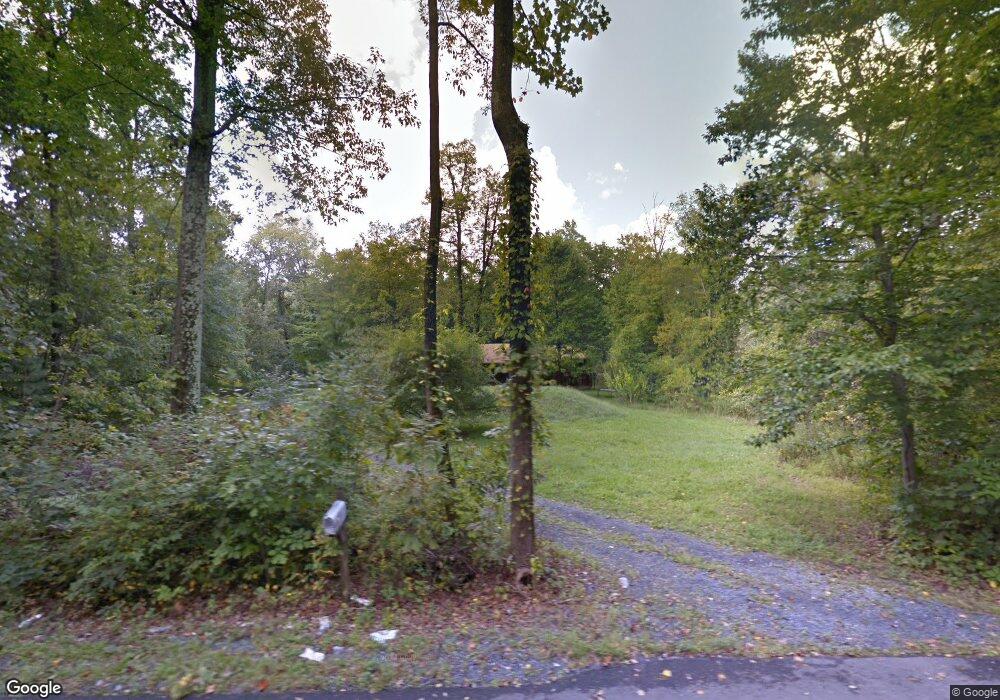
662 Abel Colony Rd Wind Gap, PA 18091
Estimated Value: $336,000 - $1,560,000
3
Beds
2
Baths
1,424
Sq Ft
$535/Sq Ft
Est. Value
About This Home
This home is located at 662 Abel Colony Rd, Wind Gap, PA 18091 and is currently estimated at $762,502, approximately $535 per square foot. 662 Abel Colony Rd is a home located in Northampton County with nearby schools including Plainfield Elementary School, Wind Gap Middle School, and Pen Argyl Area High School.
Ownership History
Date
Name
Owned For
Owner Type
Purchase Details
Closed on
Dec 11, 2017
Sold by
Ross Dustin and Ross Christine A
Bought by
Ross Dustin and Ross Christine A
Current Estimated Value
Home Financials for this Owner
Home Financials are based on the most recent Mortgage that was taken out on this home.
Original Mortgage
$130,000
Outstanding Balance
$107,895
Interest Rate
3.94%
Mortgage Type
New Conventional
Estimated Equity
$654,607
Purchase Details
Closed on
May 2, 2017
Sold by
Bank Of America Na
Bought by
Ross Dustin
Purchase Details
Closed on
Dec 30, 2016
Sold by
Butz Lester D
Bought by
Bank Of America Na
Purchase Details
Closed on
Jul 1, 1988
Bought by
Butz Lester D and Butz Rita A
Purchase Details
Closed on
Apr 1, 1987
Bought by
Not Provided
Create a Home Valuation Report for This Property
The Home Valuation Report is an in-depth analysis detailing your home's value as well as a comparison with similar homes in the area
Home Values in the Area
Average Home Value in this Area
Purchase History
| Date | Buyer | Sale Price | Title Company |
|---|---|---|---|
| Ross Dustin | -- | Mount Bethel Abstract Inc | |
| Ross Dustin | $820,000 | None Available | |
| Bank Of America Na | $1,649 | None Available | |
| Butz Lester D | $49,000 | -- | |
| Not Provided | $11,500 | -- |
Source: Public Records
Mortgage History
| Date | Status | Borrower | Loan Amount |
|---|---|---|---|
| Open | Ross Dustin | $130,000 |
Source: Public Records
Tax History
| Year | Tax Paid | Tax Assessment Tax Assessment Total Assessment is a certain percentage of the fair market value that is determined by local assessors to be the total taxable value of land and additions on the property. | Land | Improvement |
|---|---|---|---|---|
| 2026 | $748 | $69,300 | $26,100 | $43,200 |
| 2025 | $748 | $69,300 | $26,100 | $43,200 |
| 2024 | $5,222 | $69,300 | $26,100 | $43,200 |
| 2023 | $5,222 | $69,300 | $26,100 | $43,200 |
| 2022 | $5,119 | $69,300 | $26,100 | $43,200 |
| 2021 | $5,188 | $69,300 | $26,100 | $43,200 |
| 2020 | $5,188 | $69,300 | $26,100 | $43,200 |
| 2019 | $5,079 | $69,300 | $26,100 | $43,200 |
| 2018 | $4,965 | $69,300 | $26,100 | $43,200 |
| 2017 | $4,864 | $69,300 | $26,100 | $43,200 |
| 2016 | -- | $69,300 | $26,100 | $43,200 |
| 2015 | -- | $69,300 | $26,100 | $43,200 |
| 2014 | -- | $69,300 | $26,100 | $43,200 |
Source: Public Records
Map
Nearby Homes
- 0 Pennsylvania 33
- 118 E 1st St
- 6366 Sullivan Trail
- 38 W 2nd St
- 502 S Broadway
- 0 Male Rd
- 0 E West St Unit PM-138679
- 38 Water St
- 1147 Jacobsburg Rd
- 0 W Center St
- 67 Park Ave
- 508 Liberty St
- 901 Renaldi Rd
- 136 Sanders Rd
- 6 Indian Trail
- 3 Tribe Ln
- 12 Indian Trail
- 1020 Mountain Ave
- 968 Bangor Rd
- 939 Constitution Ave
- 668 Abel Colony Rd
- 646 Abel Colony Rd
- 665 Abel Colony Rd
- 676 Abel Colony Rd
- 651 Abel Colony Rd
- 633 Abel Colony Rd
- 671 Abel Colony Rd
- 621 Abel Colony Rd
- 625 Abel Colony Rd
- 628 Abel Colony Rd
- 703 Abel Colony Rd
- 620 Abel Colony Rd
- 703A Abel Colony Rd
- 703B Abel Colony Rd
- 702 Abel Colony Rd
- 655 Abel Colony Rd
- 615 Abel Colony Rd
- 614 Abel Colony Rd
- 718 Abel Colony Rd
- 657 Sandt Rd
Your Personal Tour Guide
Ask me questions while you tour the home.