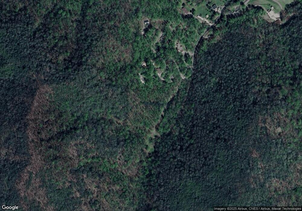
662 Camp Branch Rd Whittier, NC 28789
Estimated Value: $279,000 - $506,340
1
Bed
1
Bath
1,080
Sq Ft
$364/Sq Ft
Est. Value
About This Home
This home is located at 662 Camp Branch Rd, Whittier, NC 28789 and is currently estimated at $393,447, approximately $364 per square foot. 662 Camp Branch Rd is a home with nearby schools including Swain County Middle School, Swain County West Elementary School, and Swain County High School.
Ownership History
Date
Name
Owned For
Owner Type
Purchase Details
Closed on
Jul 10, 2018
Sold by
Tomaino Joseph C and Tomaino Susan D
Bought by
Robinson Timothy J and Robinson Sarah J
Current Estimated Value
Home Financials for this Owner
Home Financials are based on the most recent Mortgage that was taken out on this home.
Original Mortgage
$228,000
Outstanding Balance
$75,297
Interest Rate
4.5%
Mortgage Type
Unknown
Estimated Equity
$318,150
Purchase Details
Closed on
Jan 25, 2018
Sold by
Stone Creek Corp Inc
Bought by
Tomaino Joseph C and Tamaino Susan D
Purchase Details
Closed on
Sep 11, 2007
Sold by
Tomaino Joseph and Tomaino Susan D
Bought by
Stone Creek Corp Inc
Create a Home Valuation Report for This Property
The Home Valuation Report is an in-depth analysis detailing your home's value as well as a comparison with similar homes in the area
Home Values in the Area
Average Home Value in this Area
Purchase History
| Date | Buyer | Sale Price | Title Company |
|---|---|---|---|
| Robinson Timothy J | $308,000 | None Available | |
| Tomaino Joseph C | -- | None Available | |
| Stone Creek Corp Inc | -- | -- |
Source: Public Records
Mortgage History
| Date | Status | Borrower | Loan Amount |
|---|---|---|---|
| Open | Robinson Timothy J | $228,000 |
Source: Public Records
Tax History Compared to Growth
Tax History
| Year | Tax Paid | Tax Assessment Tax Assessment Total Assessment is a certain percentage of the fair market value that is determined by local assessors to be the total taxable value of land and additions on the property. | Land | Improvement |
|---|---|---|---|---|
| 2025 | $1,396 | $312,400 | $282,100 | $30,300 |
| 2024 | $1,396 | $312,400 | $282,100 | $30,300 |
| 2023 | $1,240 | $312,400 | $282,100 | $30,300 |
| 2022 | $1,240 | $312,400 | $282,100 | $30,300 |
| 2021 | $1,240 | $312,400 | $0 | $0 |
| 2020 | $1,262 | $329,750 | $305,130 | $24,620 |
| 2019 | $1,262 | $329,750 | $305,130 | $24,620 |
| 2018 | $1,262 | $329,750 | $305,130 | $24,620 |
| 2017 | $1,262 | $329,750 | $305,130 | $24,620 |
| 2016 | $1,262 | $329,750 | $305,130 | $24,620 |
| 2015 | -- | $329,750 | $305,130 | $24,620 |
| 2014 | -- | $329,750 | $305,130 | $24,620 |
Source: Public Records
Map
Nearby Homes
- 636 Camp Branch Rd
- 0 Chestnut Cove Rd
- 3995 Conley's Creek Rd
- Lot 25 Maltese Way
- 0 Maltese Way Unit 25 CAR4243822
- 2680 Conley Mountain Association Rd
- Lot 8 English Setter Trail
- 0 English Setter Trail Unit Lot 8 CAR4268179
- 9999 Conleys Creek Rd
- 000 Bannick Springs Rd
- 00 Arrowhead Ln
- 0 Andrew Davis Rd
- 0 Conley Mountain Association Rd
- 0 Arrowhead Ln
- TBD Andrew Davis Rd
- 0 Deep Gap View Unit 52&53 CAR4223064
- 0 Deep Gap View Unit 51 CAR4222688
- Lot 51 Coppermine Ridge
- 000 Levi Mathis Rd
- 52 & 53 Coppermine Ridge
- 661 Camp Branch Rd
- 000 Camp Branch
- 569 Camp Branch Rd
- 606 Camp Branch Rd
- 390 Camp Branch Rd
- 600 Camp Branch Rd
- 530 Camp Branch Rd
- 355 Camp Branch Rd
- 0 Camp Branch
- 280 Camp Branch Rd
- 280 Camp Branch Rd
- 300 Camp Branch Rd
- 213 Camp Branch Rd
- 0 Camp Branch Rd
- 0 Camp Branch Rd
- 205 Camp Branch Rd
- 141 Herbs Rd
- 5222 Conleys Creek Rd
- 1157 Conleys Creek Rd
- 70 Herbs Rd
